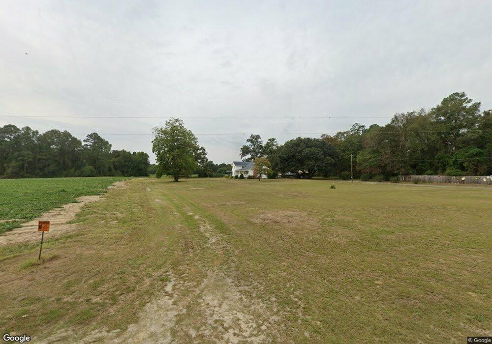
1460 Hardy Bridge Rd La Grange, NC 28551
Estimated Value: $167,000 - $326,000
3
Beds
2
Baths
2,231
Sq Ft
$118/Sq Ft
Est. Value
About This Home
This home is located at 1460 Hardy Bridge Rd, La Grange, NC 28551 and is currently estimated at $263,113, approximately $117 per square foot. 1460 Hardy Bridge Rd is a home located in Lenoir County with nearby schools including La Grange Elementary School, E.B. Frink Middle School, and North Lenoir High School.
Ownership History
Date
Name
Owned For
Owner Type
Purchase Details
Closed on
Mar 31, 2011
Sold by
Beaman Mary Lucille Sutton and Smith Lynnelle Sutton
Bought by
Smith Lynnelle Sutton
Current Estimated Value
Create a Home Valuation Report for This Property
The Home Valuation Report is an in-depth analysis detailing your home's value as well as a comparison with similar homes in the area
Home Values in the Area
Average Home Value in this Area
Purchase History
| Date | Buyer | Sale Price | Title Company |
|---|---|---|---|
| Smith Lynnelle Sutton | -- | None Available | |
| Sutton Susan Richart | -- | None Available | |
| Beaman Mary Lucille Sutton | -- | -- | |
| Smith Lynnelle Sutton | -- | -- | |
| Sutton Susan Rinchart | $40,000 | -- |
Source: Public Records
Tax History Compared to Growth
Tax History
| Year | Tax Paid | Tax Assessment Tax Assessment Total Assessment is a certain percentage of the fair market value that is determined by local assessors to be the total taxable value of land and additions on the property. | Land | Improvement |
|---|---|---|---|---|
| 2025 | $2,037 | $272,350 | $31,529 | $240,821 |
| 2024 | $1,311 | $138,690 | $28,530 | $110,160 |
| 2023 | $1,373 | $138,690 | $28,530 | $110,160 |
| 2022 | $1,373 | $138,690 | $28,530 | $110,160 |
| 2021 | $1,373 | $138,690 | $28,530 | $110,160 |
| 2020 | $1,373 | $138,690 | $28,530 | $110,160 |
| 2019 | $1,373 | $138,690 | $28,530 | $110,160 |
| 2018 | $1,352 | $138,690 | $28,530 | $110,160 |
| 2017 | $1,353 | $138,690 | $28,530 | $110,160 |
| 2014 | -- | $174,387 | $62,712 | $111,675 |
| 2013 | $1,367 | $174,387 | $62,712 | $111,675 |
| 2011 | -- | $445,701 | $333,026 | $112,675 |
Source: Public Records
Map
Nearby Homes
- 5301 Barber Rd
- Lot #2 Albert Sugg Rd
- 5517 Bulltown Rd
- 6272 Highway 70 E
- 0 Sunset Ridge Dr Unit Lot 21 CAR4282820
- 0 Sunset Ridge Dr Unit Lot11 CAR4282833
- 3619 S Caswell St
- 4725 Packhouse Rd
- 3733 Fields Station Rd
- 805 Madison Ann Dr
- 3043 Falcon Ct
- 3030 Falcon Ct
- 3028 Condor Ct
- 3052 Condor Ct
- 3005 Condor Ct
- 614 S Caswell St
- 210 Wood St
- 201 Wood St
- 202 Wood St
- 208 Wood St
- 1512 Hardy Bridge Rd
- 1477 Hardy Bridge Rd
- 1427 Hardy Bridge Rd
- 4114 Bizzell Ln
- 1437 Hardy Bridge Rd
- 4168 Pine Bush Rd
- 1566 Hardy Bridge Rd
- 4160 Pine Bush Rd
- 1600 Hardy Bridge Rd
- 1634 Hardy Bridge Rd
- 1269 Hardy Bridge Rd
- 2086 Sutton Hooten Ln
- 3857 Pine Bush Rd
- 3889 Pine Bush Rd
- 3872 Pine Bush Rd
- 2071 Sutton Hooten Ln
- 3888 Pine Bush Rd
- 2112 Sutton Hooten Ln
- 3848 Pine Bush Rd
- 1668 Jenny Lind Rd