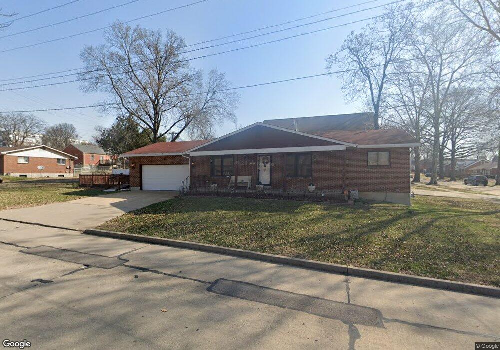
1460 Laclede Station Rd Saint Louis, MO 63117
Estimated Value: $282,000 - $328,000
3
Beds
2
Baths
1,215
Sq Ft
$254/Sq Ft
Est. Value
About This Home
This home is located at 1460 Laclede Station Rd, Saint Louis, MO 63117 and is currently estimated at $308,534, approximately $253 per square foot. 1460 Laclede Station Rd is a home located in St. Louis County with nearby schools including Maplewood Richmond Heights Elementary School, Maplewood Richmond Heights Middle School, and Maplewood-Richmond Heights High School.
Ownership History
Date
Name
Owned For
Owner Type
Purchase Details
Closed on
Aug 18, 2018
Sold by
Jackson L A
Bought by
Jackson L A L and Jackson Theresa M
Current Estimated Value
Purchase Details
Closed on
Jun 3, 1997
Sold by
Thomas Martin and Thomas Mason
Bought by
Jackson L A
Home Financials for this Owner
Home Financials are based on the most recent Mortgage that was taken out on this home.
Original Mortgage
$103,620
Outstanding Balance
$14,764
Interest Rate
7.93%
Mortgage Type
FHA
Estimated Equity
$293,770
Purchase Details
Closed on
Dec 28, 1996
Sold by
Mason Thomas
Bought by
Martin Joan R
Create a Home Valuation Report for This Property
The Home Valuation Report is an in-depth analysis detailing your home's value as well as a comparison with similar homes in the area
Home Values in the Area
Average Home Value in this Area
Purchase History
| Date | Buyer | Sale Price | Title Company |
|---|---|---|---|
| Jackson L A L | -- | None Available | |
| Jackson L A | -- | -- | |
| Martin Joan R | -- | -- |
Source: Public Records
Mortgage History
| Date | Status | Borrower | Loan Amount |
|---|---|---|---|
| Open | Jackson L A | $103,620 |
Source: Public Records
Tax History Compared to Growth
Tax History
| Year | Tax Paid | Tax Assessment Tax Assessment Total Assessment is a certain percentage of the fair market value that is determined by local assessors to be the total taxable value of land and additions on the property. | Land | Improvement |
|---|---|---|---|---|
| 2025 | $3,799 | $62,760 | $29,660 | $33,100 |
| 2024 | $3,799 | $49,500 | $18,470 | $31,030 |
| 2023 | $3,799 | $49,500 | $18,470 | $31,030 |
| 2022 | $3,901 | $47,460 | $18,470 | $28,990 |
| 2021 | $3,834 | $47,460 | $18,470 | $28,990 |
| 2020 | $3,815 | $44,790 | $15,830 | $28,960 |
| 2019 | $3,786 | $44,790 | $15,830 | $28,960 |
| 2018 | $3,203 | $34,330 | $10,390 | $23,940 |
| 2017 | $3,181 | $34,330 | $10,390 | $23,940 |
| 2016 | $2,893 | $30,080 | $9,540 | $20,540 |
| 2015 | $2,720 | $30,080 | $9,540 | $20,540 |
| 2014 | $2,372 | $26,260 | $6,940 | $19,320 |
Source: Public Records
Map
Nearby Homes
- 7735 Saint Albans Ave
- 7718 W Ranken Ave
- 1501 Stockard Ave
- 7765 Weston Place
- 1510 Banneker Ave
- 7723 Dale Ave
- 7716 Lovella Ave
- 7715 Dale Ave
- 1262 Moorlands Dr
- 1250 Hampton Park Dr
- 1241 Strassner Dr Unit 1308
- 2030 Bland Place
- 7590 W Bruno Ave
- 1270 Strassner Dr Unit 3110
- 1723 Mccready Ave
- 7635 Folk Ave
- 7555 Alicia Ave
- 7742 Wise Ave
- 7562 Folk Ave
- 1174 Claytonia Terrace
- 7741 Saint Albans Ave
- 7741 St Albans Ave
- 7741TBB St Albans
- 7741 Saint Albans Ave
- 7739 Saint Albans Ave
- 1454 Laclede Station Rd
- 1467 Laclede Station Rd
- 1463 Laclede Station Rd
- 7737 Saint Albans Ave
- 1471 Laclede Station Rd
- 1459 Laclede Station Rd
- 7738 Snowden Ave
- 1455 Laclede Station Rd
- 7746 Saint Albans Ave
- 7736 Snowden Ave
- 7744 Saint Albans Ave
- 1475 Laclede Station Rd
- 1451 Laclede Station Rd
- 7742 Saint Albans Ave
- 7734 Snowden Ave