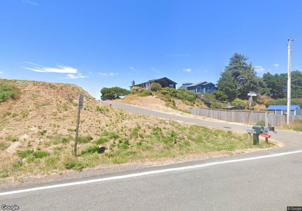
1460 Polaris Ln SW Bandon, OR 97411
Estimated Value: $796,875 - $800,000
3
Beds
2
Baths
1,600
Sq Ft
$499/Sq Ft
Est. Value
About This Home
This home is located at 1460 Polaris Ln SW, Bandon, OR 97411 and is currently estimated at $798,438, approximately $499 per square foot. 1460 Polaris Ln SW is a home located in Coos County with nearby schools including Ocean Crest Elementary School, Harbor Lights Middle School, and Bandon Senior High School.
Ownership History
Date
Name
Owned For
Owner Type
Purchase Details
Closed on
Nov 15, 2013
Sold by
First Community Credit Union
Bought by
Plair Samuel Max
Current Estimated Value
Purchase Details
Closed on
Jan 27, 2005
Sold by
Estate Of James R Spencer
Bought by
Davis David L
Home Financials for this Owner
Home Financials are based on the most recent Mortgage that was taken out on this home.
Original Mortgage
$476,000
Interest Rate
6.75%
Mortgage Type
New Conventional
Create a Home Valuation Report for This Property
The Home Valuation Report is an in-depth analysis detailing your home's value as well as a comparison with similar homes in the area
Home Values in the Area
Average Home Value in this Area
Purchase History
| Date | Buyer | Sale Price | Title Company |
|---|---|---|---|
| Plair Samuel Max | $374,000 | Ticor Title Company | |
| Davis David L | $595,000 | Fidelity National Title Co |
Source: Public Records
Mortgage History
| Date | Status | Borrower | Loan Amount |
|---|---|---|---|
| Previous Owner | Davis David L | $476,000 | |
| Closed | Davis David L | $119,000 |
Source: Public Records
Tax History Compared to Growth
Tax History
| Year | Tax Paid | Tax Assessment Tax Assessment Total Assessment is a certain percentage of the fair market value that is determined by local assessors to be the total taxable value of land and additions on the property. | Land | Improvement |
|---|---|---|---|---|
| 2025 | $5,442 | $493,940 | -- | -- |
| 2024 | $5,383 | $479,560 | -- | -- |
| 2023 | $5,243 | $465,600 | $0 | $0 |
| 2022 | $5,263 | $452,040 | $0 | $0 |
| 2021 | $5,057 | $438,880 | $0 | $0 |
| 2020 | $4,591 | $438,880 | $0 | $0 |
| 2019 | $4,576 | $413,690 | $0 | $0 |
| 2018 | $4,304 | $401,650 | $0 | $0 |
| 2017 | $4,204 | $389,960 | $0 | $0 |
| 2016 | $4,075 | $378,610 | $0 | $0 |
| 2015 | $3,846 | $367,590 | $0 | $0 |
| 2014 | $3,846 | $356,890 | $0 | $0 |
Source: Public Records
Map
Nearby Homes
- 0 Beach Loop Rd Unit 1300 24471628
- 0 Beach Loop Rd Unit 230282686
- 0 Beach Loop Rd Unit 500 19071690
- 87142 Vesta Ln
- 54568 Beach Loop Rd
- 3230 Golf Links Rd
- 87363 Oberman Ln
- 636 Seacrest Dr
- 54146 Gould Rd
- 0 E Jupiter Ln Unit 1202 738205258
- 3145 Periwinkle Ln SW
- 848 Seacrest Dr
- 764 Seacrest Dr
- 822 Spyglass Dr
- 0 Grant Place Unit 700 333258636
- 728 Seacrest Dr
- 649 Spyglass
- 0 Seabird Dr Unit 20122222
- 0 Seabird Dr Unit 24126926
- 2776 Lincoln Ave
- 1460 Polaris Ln SW
- 0 Polaris St
- 1450 Polaris Ln SW
- 0 Beach Loop Rd Unit 23905901
- 0 Beach Loop Rd Unit 1800 476778210
- 0 Beach Loop Rd Unit 2018240
- 0 Beach Loop Rd Unit 2015138
- 0 Beach Loop Rd Unit 24287081
- 0 Beach Loop Rd Unit 1800 23250965
- 0 Beach Loop Rd Unit 23101320
- 0 Beach Loop Rd Unit 102980187
- 0 Beach Loop Rd Unit Lot10 21326163
- 0 Beach Loop Rd Unit Lot11 21587866
- 0 Beach Loop Rd Unit 21622605
- 0 Beach Loop Rd Unit 3100 21464204
- 0 Beach Loop Rd Unit 107 21233350
- 0 Beach Loop Rd Unit 5200 21658162
- 0 Beach Loop Rd Unit 1500 20622967
- 0 Beach Loop Rd Unit 10056229