1460 Sane Rd SE Dalton, GA 30721
Estimated Value: $164,281 - $229,000
--
Bed
1
Bath
1,488
Sq Ft
$138/Sq Ft
Est. Value
About This Home
This home is located at 1460 Sane Rd SE, Dalton, GA 30721 and is currently estimated at $205,070, approximately $137 per square foot. 1460 Sane Rd SE is a home located in Whitfield County with nearby schools including Antioch Elementary School, Eastbrook Middle School, and Southeast Whitfield County High School.
Ownership History
Date
Name
Owned For
Owner Type
Purchase Details
Closed on
Oct 30, 2017
Sold by
Grant Roger
Bought by
Grant Josiah
Current Estimated Value
Home Financials for this Owner
Home Financials are based on the most recent Mortgage that was taken out on this home.
Original Mortgage
$36,897
Outstanding Balance
$30,991
Interest Rate
3.94%
Estimated Equity
$174,079
Purchase Details
Closed on
Jun 14, 2006
Sold by
Not Provided
Bought by
Grant Roger and Grant Emaylee
Purchase Details
Closed on
Sep 1, 1999
Bought by
Grant Roger and Grant Emaylee
Create a Home Valuation Report for This Property
The Home Valuation Report is an in-depth analysis detailing your home's value as well as a comparison with similar homes in the area
Home Values in the Area
Average Home Value in this Area
Purchase History
| Date | Buyer | Sale Price | Title Company |
|---|---|---|---|
| Grant Josiah | $60,000 | -- | |
| Grant Roger | -- | -- | |
| Grant Roger | $55,000 | -- |
Source: Public Records
Mortgage History
| Date | Status | Borrower | Loan Amount |
|---|---|---|---|
| Open | Grant Josiah | $36,897 |
Source: Public Records
Tax History Compared to Growth
Tax History
| Year | Tax Paid | Tax Assessment Tax Assessment Total Assessment is a certain percentage of the fair market value that is determined by local assessors to be the total taxable value of land and additions on the property. | Land | Improvement |
|---|---|---|---|---|
| 2024 | $1,067 | $65,234 | $7,364 | $57,870 |
| 2023 | $1,067 | $42,176 | $4,713 | $37,463 |
| 2022 | $602 | $28,960 | $4,624 | $24,336 |
| 2021 | $602 | $28,960 | $4,624 | $24,336 |
| 2020 | $611 | $28,960 | $4,624 | $24,336 |
| 2019 | $898 | $28,960 | $4,624 | $24,336 |
| 2018 | $883 | $28,036 | $3,700 | $24,336 |
| 2017 | $884 | $28,036 | $3,700 | $24,336 |
| 2016 | $786 | $25,942 | $3,700 | $22,242 |
| 2014 | $712 | $26,453 | $4,211 | $22,242 |
| 2013 | -- | $26,453 | $4,210 | $22,242 |
Source: Public Records
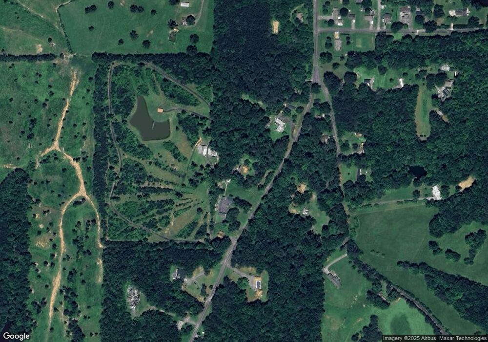
Map
Nearby Homes
- 00 Gaines Rd SE
- 104 Riverview Dr SE
- 2200 Ridge Rd SE
- 1142 Ben Hill Rd SE
- 4988 Tibbs Bridge Rd SE
- 3657 Airport Rd
- 01 Headrick Cir SE
- 00 Headrick Cir SE
- 000 Brown Bridge Rd
- 59 Terrace Ct
- 286 River Oaks Dr
- 4322 Banks Dr SE
- 760 Keith Rd SE
- 1271 Ridge Rd SE
- 2442 Tibbs Bridge Rd
- 871 Robinson Rd
- 2437 S Riverbend Rd
- 2180 S Riverbend Rd
- 988 Davenport Rd
- 185 Cedar Ridge Rd
- 1472 Sane Rd SE
- 1438 Sane Rd SE
- 1463 Sane Rd SE
- 1434 Sane Rd SE
- 1516 Land Rd SE
- 1503 Land Rd SE
- 1426 Sane Rd SE
- 1511 Land Rd SE
- 127 Brookshire Way
- 1495 Sane Rd SE
- 1498 Sane Rd SE
- 1554 Land Rd SE
- 0 Land Rd
- 161 Brookshire Way
- 1402 Sane Rd SE
- 1411 Sane Rd SE
- 1516 Sane Rd SE
- 1517 Sane Rd SE
- 189 Brookshire Way
- 1403 Sane Rd SE