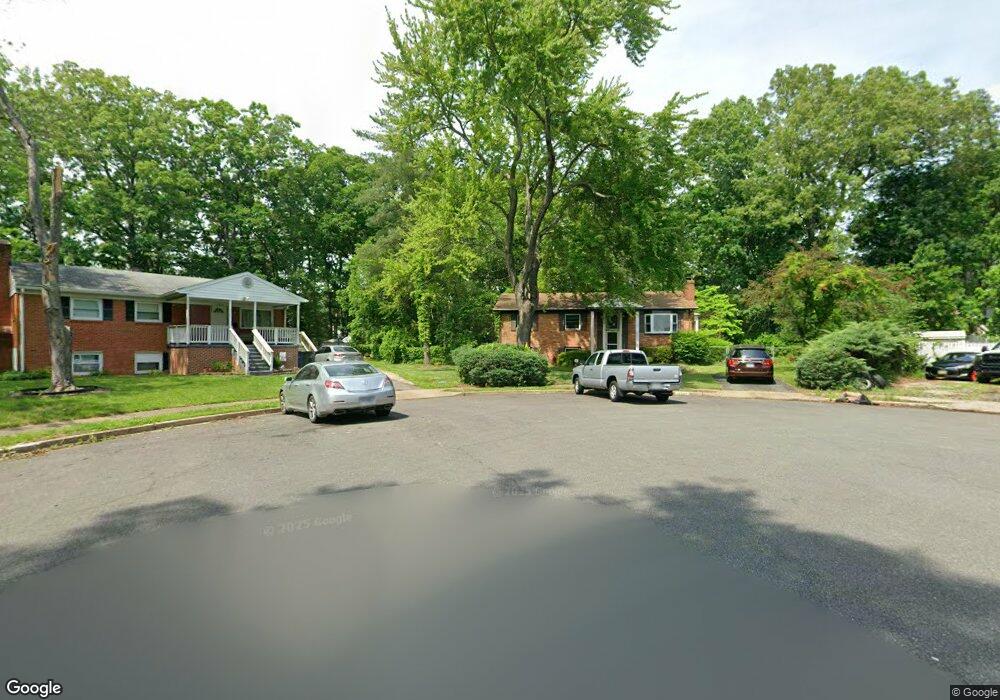
14600 Ashdale Ave Woodbridge, VA 22193
Ashdale NeighborhoodEstimated Value: $491,000 - $540,709
3
Beds
3
Baths
1,170
Sq Ft
$447/Sq Ft
Est. Value
About This Home
This home is located at 14600 Ashdale Ave, Woodbridge, VA 22193 and is currently estimated at $522,427, approximately $446 per square foot. 14600 Ashdale Ave is a home located in Prince William County with nearby schools including Dale City Elementary School, Rippon Middle School, and Freedom High School.
Ownership History
Date
Name
Owned For
Owner Type
Purchase Details
Closed on
Jul 5, 2018
Sold by
Mid-Atlantic Planning & Engineering Serv
Bought by
The Fajr Group Llc
Current Estimated Value
Create a Home Valuation Report for This Property
The Home Valuation Report is an in-depth analysis detailing your home's value as well as a comparison with similar homes in the area
Home Values in the Area
Average Home Value in this Area
Purchase History
| Date | Buyer | Sale Price | Title Company |
|---|---|---|---|
| The Fajr Group Llc | $190,000 | Vesta Settlements Llc |
Source: Public Records
Tax History Compared to Growth
Tax History
| Year | Tax Paid | Tax Assessment Tax Assessment Total Assessment is a certain percentage of the fair market value that is determined by local assessors to be the total taxable value of land and additions on the property. | Land | Improvement |
|---|---|---|---|---|
| 2025 | $4,330 | $492,900 | $149,300 | $343,600 |
| 2024 | $4,330 | $435,400 | $139,200 | $296,200 |
| 2023 | $4,374 | $420,400 | $136,400 | $284,000 |
| 2022 | $4,691 | $413,300 | $126,600 | $286,700 |
| 2021 | $4,725 | $385,400 | $114,500 | $270,900 |
| 2020 | $5,203 | $335,700 | $108,200 | $227,500 |
| 2019 | $5,165 | $333,200 | $104,100 | $229,100 |
| 2018 | $3,877 | $321,100 | $101,300 | $219,800 |
| 2017 | $3,795 | $305,400 | $95,700 | $209,700 |
| 2016 | $3,601 | $292,200 | $93,100 | $199,100 |
| 2015 | $3,155 | $270,700 | $90,100 | $180,600 |
| 2014 | $3,155 | $249,500 | $87,700 | $161,800 |
Source: Public Records
Map
Nearby Homes
- 14595 Charity Ct
- 14496 Aurora Dr
- 3017 Arkendale St
- 3206 Burbank Ln
- 14809 Ashdale Ave
- 3213 Bradford St
- 14308 Belleville Ave
- 14404 Birchdale Ave
- 14413 Brook Dr
- 15019 Ashdale Cir
- 14717 Barksdale St
- 14748 Barksdale St
- 14184 Cuddy Loop Unit 101
- 14657 Cloverdale Rd
- 14648 Bakersfield St
- 14151 Cuddy Loop Unit 301
- 14154 Cuddy Loop Unit 102
- 2636 Neabsco Common Place
- 2506 Neabsco Common Place
- 3615 Felmore Ct
- 14602 Ashdale Ave
- 14536 Gideon Dr
- 2925 Glory Ct
- 14601 Ashdale Ave
- 14503 Aurora Dr
- 14596 Charity Ct
- 14505 Aurora Dr
- 14501 Aurora Dr
- 14495 Aurora Dr
- 14590 Charity Ct
- 14499 Aurora Dr
- 14507 Aurora Dr
- 14604 Ashdale Ave
- 14600 Charity Ct
- 2932 Glory Ct
- 14603 Ashdale Ave
- 2928 Glory Ct
- 14491 Aurora Dr
- 3002 Adams St
- 2902 Adams St