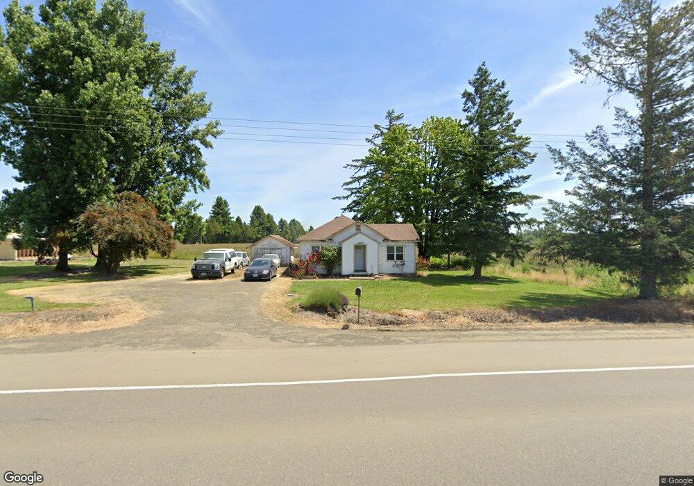
14600 S Pacific Hwy W Monmouth, OR 97361
Estimated Value: $348,000 - $799,051
4
Beds
2
Baths
2,220
Sq Ft
$249/Sq Ft
Est. Value
About This Home
This home is located at 14600 S Pacific Hwy W, Monmouth, OR 97361 and is currently estimated at $552,763, approximately $248 per square foot. 14600 S Pacific Hwy W is a home located in Polk County with nearby schools including Monmouth Elementary School, Talmadge Middle School, and Central High School.
Ownership History
Date
Name
Owned For
Owner Type
Purchase Details
Closed on
Mar 9, 2023
Sold by
Hauge Barbara
Bought by
Tobac Llc
Current Estimated Value
Home Financials for this Owner
Home Financials are based on the most recent Mortgage that was taken out on this home.
Original Mortgage
$273,334
Outstanding Balance
$223,168
Interest Rate
6.12%
Mortgage Type
New Conventional
Estimated Equity
$329,595
Create a Home Valuation Report for This Property
The Home Valuation Report is an in-depth analysis detailing your home's value as well as a comparison with similar homes in the area
Home Values in the Area
Average Home Value in this Area
Purchase History
| Date | Buyer | Sale Price | Title Company |
|---|---|---|---|
| Tobac Llc | -- | -- |
Source: Public Records
Mortgage History
| Date | Status | Borrower | Loan Amount |
|---|---|---|---|
| Open | Tobac Llc | $273,334 |
Source: Public Records
Tax History Compared to Growth
Tax History
| Year | Tax Paid | Tax Assessment Tax Assessment Total Assessment is a certain percentage of the fair market value that is determined by local assessors to be the total taxable value of land and additions on the property. | Land | Improvement |
|---|---|---|---|---|
| 2025 | $2,137 | $171,318 | $68,398 | $102,920 |
| 2024 | $2,137 | $166,337 | $66,417 | $99,920 |
| 2023 | $2,274 | $161,499 | $64,479 | $97,020 |
| 2022 | $1,997 | $156,804 | $62,604 | $94,200 |
| 2021 | $1,983 | $152,240 | $60,770 | $91,470 |
| 2020 | $1,926 | $147,807 | $59,017 | $88,790 |
| 2019 | $1,870 | $143,503 | $57,303 | $86,200 |
| 2018 | $1,801 | $139,329 | $55,619 | $83,710 |
| 2017 | $1,804 | $135,275 | $54,005 | $81,270 |
| 2016 | $1,867 | $131,339 | $52,429 | $78,910 |
| 2015 | -- | $127,520 | $50,910 | $76,610 |
Source: Public Records
Map
Nearby Homes
- 0 Highway 99w Unit 23169928
- 0 Unassigned Unit 21274407
- 39027 Trillium Ln
- 5970 NW Independence Hwy
- 1163 SW 11th Ave
- Lot 900 NE Hibiscus Dr
- 7120 SE Andrea Ln
- 7274 SE Ronelle Ct
- 7173 SE Cheryl Ct
- 7257 SE Berg Dr
- 3981 SE Weigel St
- 7061 Pinot Noir Dr
- 7080 Pinot Noir Dr
- 7071 SE Pinot Noir Dr
- 7063 Pinot Noir Dr
- 7065 Pinot Noir Dr
- 4135 NW Alder Ave
- 7064 Pinot Noir Dr
- 11660 Simpson Rd
- 11515 Buena Vista Rd
- 14295 S Pacific Hwy W
- 14135 S Pacific Hwy W
- 14510 S Pacific Hwy W
- 14020 S Pacific Hwy W
- 14020 S Pacific Hwy W
- 14020 Highway 99w
- 13860 S Pacific Hwy W
- 29264 Robison Rd
- 29148 Robison Rd
- 13895 S Pacific Hwy W
- 29262 Robison Rd
- 39268 Highway 99w
- 28815 Robison Rd
- 39254 Highway 99w
- 29178 Robison Rd
- 28917 Robison Rd
- 39243 Jeffrey Rd
- 13445 S Pacific Hwy W