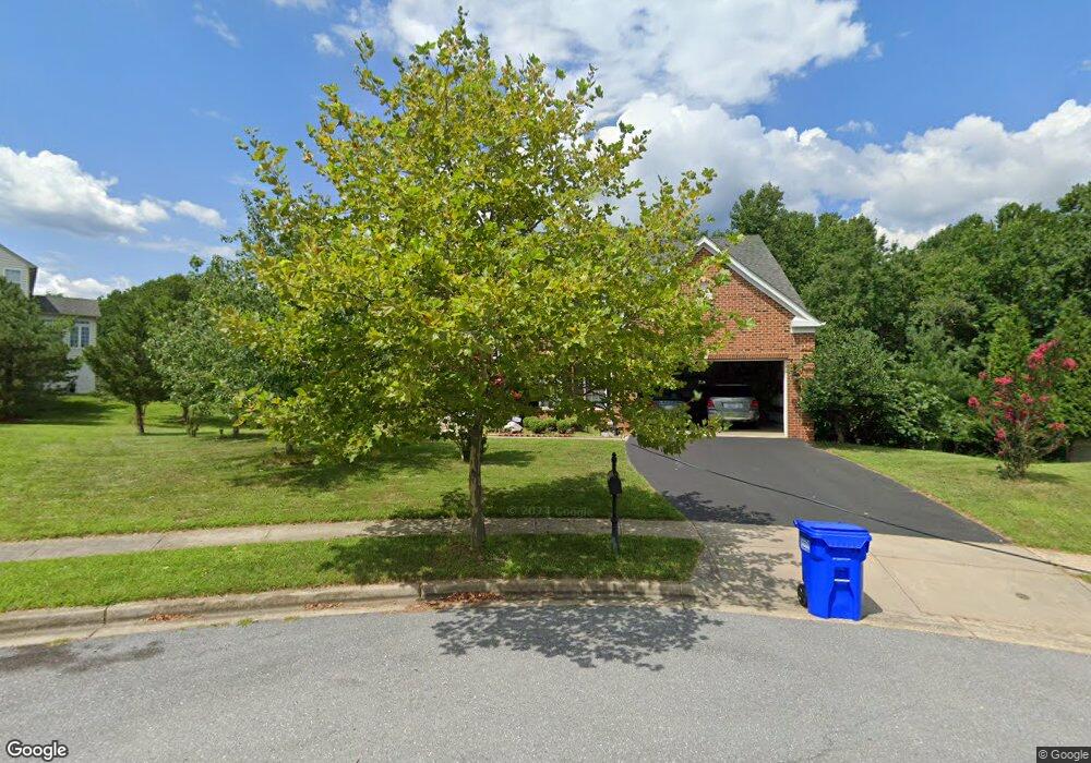
14602 Tallyrand Trail Laurel, MD 20707
Estimated Value: $762,600 - $865,000
--
Bed
4
Baths
3,484
Sq Ft
$235/Sq Ft
Est. Value
About This Home
This home is located at 14602 Tallyrand Trail, Laurel, MD 20707 and is currently estimated at $818,150, approximately $234 per square foot. 14602 Tallyrand Trail is a home located in Prince George's County with nearby schools including Bond Mill Elementary, Martin Luther King Jr. Middle School, and Laurel High School.
Ownership History
Date
Name
Owned For
Owner Type
Purchase Details
Closed on
Oct 6, 2023
Sold by
Khan Muhammad and Khan Nisha
Bought by
Khan Sarfraz Gibran
Current Estimated Value
Purchase Details
Closed on
Jun 27, 2008
Sold by
Nvr Inc
Bought by
Khan Muhammad and Khan Nisha
Purchase Details
Closed on
Jun 25, 2008
Sold by
Nvr Inc
Bought by
Khan Muhammad and Khan Nisha
Purchase Details
Closed on
Mar 6, 2008
Sold by
1325 G Street Associates L
Bought by
Nvr Inc
Purchase Details
Closed on
Feb 28, 2008
Sold by
1325 G Street Associates L
Bought by
Nvr Inc
Create a Home Valuation Report for This Property
The Home Valuation Report is an in-depth analysis detailing your home's value as well as a comparison with similar homes in the area
Home Values in the Area
Average Home Value in this Area
Purchase History
| Date | Buyer | Sale Price | Title Company |
|---|---|---|---|
| Khan Sarfraz Gibran | -- | None Listed On Document | |
| Khan Sarfraz Gibran | -- | None Listed On Document | |
| Khan Muhammad | $619,904 | -- | |
| Khan Muhammad | $619,904 | -- | |
| Nvr Inc | $120,041 | -- | |
| Nvr Inc | $120,041 | -- |
Source: Public Records
Tax History Compared to Growth
Tax History
| Year | Tax Paid | Tax Assessment Tax Assessment Total Assessment is a certain percentage of the fair market value that is determined by local assessors to be the total taxable value of land and additions on the property. | Land | Improvement |
|---|---|---|---|---|
| 2025 | $11,510 | $723,400 | $186,800 | $536,600 |
| 2024 | $11,510 | $669,467 | $0 | $0 |
| 2023 | $10,777 | $615,533 | $0 | $0 |
| 2022 | $9,937 | $561,600 | $126,800 | $434,800 |
| 2021 | $9,503 | $544,633 | $0 | $0 |
| 2020 | $9,291 | $527,667 | $0 | $0 |
| 2019 | $9,060 | $510,700 | $100,900 | $409,800 |
| 2018 | $8,866 | $501,767 | $0 | $0 |
| 2017 | $8,726 | $492,833 | $0 | $0 |
| 2016 | -- | $483,900 | $0 | $0 |
| 2015 | $7,591 | $469,667 | $0 | $0 |
| 2014 | $7,591 | $455,433 | $0 | $0 |
Source: Public Records
Map
Nearby Homes
- 7600 Lotus Ct
- 7709 Killbarron Dr
- 1013 Highpoint Trail
- 7312 Archsine Ln
- 15020 Cherrywood Dr
- 1023 Flester Ln
- 1027 Overlook Way
- 7610 Woodruff Ct
- 1106 Overlook Way
- 14811 Belle Ami Dr
- 15116 Laurel Oaks Ln
- 14201 Oakpointe Dr
- 14115 Downdale Dr
- 6703 Bonnett Ct
- 7914 Chapel Cove Dr
- 14206 Oxford Dr
- 13929 Anderson Garden Rd
- 7232 Contee Rd
- Elmwood Rear Load Garage Plan at Anderson's Green
- Elmwood Front Load garage Plan at Anderson's Green
- 14600 Tallyrand Trail
- 7322 Waterloo Walk
- 14604 Tallyrand Trail
- 7320 Waterloo Walk
- 14605 Tallyrand Trail
- 14603 Tallyrand Trail
- 14601 Tallyrand Trail
- 7318 Waterloo Walk
- 7323 Waterloo Walk
- 0 Waterloo Walk Unit PG6678227
- 0 Waterloo Walk Unit PG6678238
- 0 Waterloo Walk Unit 1008428364
- 0 Waterloo Walk Unit 1008428330
- 7318 Olive Branch Way
- 7319 Waterloo Walk
- 7316 Waterloo Walk
- 7316 Olive Branch Way
- 7315 Waterloo Walk
- 7314 Olive Branch Way
- 7314 Waterloo Walk