1461 Highway 2 Blue Ridge, GA 30513
Estimated Value: $281,000 - $450,000
--
Bed
--
Bath
1,432
Sq Ft
$256/Sq Ft
Est. Value
About This Home
This home is located at 1461 Highway 2, Blue Ridge, GA 30513 and is currently estimated at $366,079, approximately $255 per square foot. 1461 Highway 2 is a home with nearby schools including Fannin County High School.
Ownership History
Date
Name
Owned For
Owner Type
Purchase Details
Closed on
Mar 6, 2013
Sold by
Hopes David R
Bought by
Meaders Stanley R
Current Estimated Value
Home Financials for this Owner
Home Financials are based on the most recent Mortgage that was taken out on this home.
Original Mortgage
$95,243
Outstanding Balance
$67,846
Interest Rate
3.75%
Mortgage Type
FHA
Estimated Equity
$298,233
Purchase Details
Closed on
Oct 25, 1999
Sold by
Rose Estalee Calliha
Bought by
Hopes David R
Purchase Details
Closed on
May 23, 1997
Sold by
Clara Henry
Bought by
Rose Estalee Calliha
Purchase Details
Closed on
Aug 12, 1978
Bought by
Rose Estalee C and Rose Tal
Create a Home Valuation Report for This Property
The Home Valuation Report is an in-depth analysis detailing your home's value as well as a comparison with similar homes in the area
Home Values in the Area
Average Home Value in this Area
Purchase History
| Date | Buyer | Sale Price | Title Company |
|---|---|---|---|
| Meaders Stanley R | $97,000 | -- | |
| Hopes David R | $8,000 | -- | |
| Rose Estalee Calliha | -- | -- | |
| Rose Estalee C | -- | -- |
Source: Public Records
Mortgage History
| Date | Status | Borrower | Loan Amount |
|---|---|---|---|
| Open | Meaders Stanley R | $95,243 |
Source: Public Records
Tax History Compared to Growth
Tax History
| Year | Tax Paid | Tax Assessment Tax Assessment Total Assessment is a certain percentage of the fair market value that is determined by local assessors to be the total taxable value of land and additions on the property. | Land | Improvement |
|---|---|---|---|---|
| 2024 | $676 | $89,727 | $9,372 | $80,355 |
| 2023 | $632 | $73,801 | $9,372 | $64,429 |
| 2022 | $649 | $76,030 | $9,372 | $66,658 |
| 2021 | $610 | $48,509 | $9,372 | $39,137 |
| 2020 | $621 | $48,509 | $9,372 | $39,137 |
| 2019 | $633 | $48,509 | $9,372 | $39,137 |
| 2018 | $641 | $45,831 | $6,694 | $39,137 |
| 2017 | $822 | $46,440 | $6,694 | $39,746 |
| 2016 | $547 | $34,187 | $6,694 | $27,493 |
| 2015 | $579 | $34,624 | $6,694 | $27,930 |
| 2014 | $599 | $36,134 | $5,090 | $31,044 |
| 2013 | -- | $33,621 | $5,090 | $28,531 |
Source: Public Records
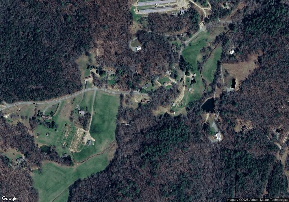
Map
Nearby Homes
- 2695 Highway 2
- 2695 Highway 2 Unit 3
- 237 Chestnut Gap Rd
- 2596 Highway 2
- 201 Jaquar Ln
- 120 Sunrock Mountain Trc
- 129 Old Bend Rd
- 120 Sunrock Mountain Trace
- 308 Hemlock Trail
- 65 Black Oak Ridge Rd
- 820 Ash Loop Rd
- LT 5 Sunrock Mountain Trace
- LT 4 Sunrock Mountain Trace
- 1264 Sun Rock Mountain Rd
- Lot 19 Black Oak Rd
- 401 Sunrock Mountain Trc
- LT 5 Sunrock Mountain Trc
- LT 4 Sunrock Mountain Trc
- 115 Black Oak Ridge Rd
- 222 Icy Ln
- 1505 Highway 2
- 1480 Highway 2
- 1480 Highway 2
- 1420 Highway 2
- 1490 Highway 2
- 1390 Highway 2
- 1159 Highway 2
- 1159 Highway 2
- 1159 Highway 2
- 1296 Highway 2
- 1580 Highway 2
- 1363 Highway 2
- 1310 Highway 2
- 1651 Highway 2
- 1250 Highway 2
- 308 Chestnut Gap Ln
- 250 Pond Cove
- 1717 Highway 2
- 1601 Highway 2
- 1851 Highway 2