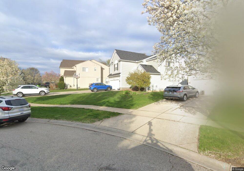
1461 Scio Ridge Ct Ann Arbor, MI 48103
Estimated Value: $516,987 - $563,000
3
Beds
4
Baths
2,034
Sq Ft
$263/Sq Ft
Est. Value
About This Home
This home is located at 1461 Scio Ridge Ct, Ann Arbor, MI 48103 and is currently estimated at $534,747, approximately $262 per square foot. 1461 Scio Ridge Ct is a home located in Washtenaw County with nearby schools including Dicken Elementary School, Slauson Middle School, and Pioneer High School.
Ownership History
Date
Name
Owned For
Owner Type
Purchase Details
Closed on
Oct 17, 2005
Sold by
Sabbagh Ammar and Sabbagh Amal
Bought by
Chakravarthy Venkatesan and Chakravarthy Bhavani
Current Estimated Value
Home Financials for this Owner
Home Financials are based on the most recent Mortgage that was taken out on this home.
Original Mortgage
$312,000
Outstanding Balance
$170,766
Interest Rate
6.12%
Mortgage Type
Fannie Mae Freddie Mac
Estimated Equity
$363,981
Create a Home Valuation Report for This Property
The Home Valuation Report is an in-depth analysis detailing your home's value as well as a comparison with similar homes in the area
Home Values in the Area
Average Home Value in this Area
Purchase History
| Date | Buyer | Sale Price | Title Company |
|---|---|---|---|
| Chakravarthy Venkatesan | $390,000 | -- |
Source: Public Records
Mortgage History
| Date | Status | Borrower | Loan Amount |
|---|---|---|---|
| Open | Chakravarthy Venkatesan | $312,000 |
Source: Public Records
Tax History Compared to Growth
Tax History
| Year | Tax Paid | Tax Assessment Tax Assessment Total Assessment is a certain percentage of the fair market value that is determined by local assessors to be the total taxable value of land and additions on the property. | Land | Improvement |
|---|---|---|---|---|
| 2025 | -- | $248,100 | $0 | $0 |
| 2024 | $4,616 | $265,400 | $0 | $0 |
| 2023 | $4,435 | $241,400 | $0 | $0 |
| 2022 | $6,213 | $216,100 | $0 | $0 |
| 2021 | $5,908 | $211,700 | $0 | $0 |
| 2020 | $6,049 | $207,400 | $0 | $0 |
| 2019 | $5,589 | $196,400 | $196,400 | $0 |
| 2018 | $5,441 | $188,600 | $0 | $0 |
| 2017 | $5,246 | $189,900 | $0 | $0 |
| 2016 | $3,686 | $144,948 | $0 | $0 |
| 2015 | -- | $144,515 | $0 | $0 |
| 2014 | -- | $140,000 | $0 | $0 |
| 2013 | -- | $140,000 | $0 | $0 |
Source: Public Records
Map
Nearby Homes
- 1419 N Bay Dr Unit 73
- 1366 N Bay Dr Unit 144
- 1599 Scio Ridge Rd
- 1770 Harley Dr
- 1860 Chicory Ridge
- 1929 Harley Dr
- 2512 Jade Ct Unit 18
- 1740 S Maple Rd Unit 2
- 2126 Pauline Blvd Unit 104
- 1225 S Maple Rd Unit 307
- 1235 S Maple Rd Unit 202
- 2120 Pauline Blvd Unit 305
- 1265 S Maple Rd Unit 207
- 2165 Pauline Ct Unit 14
- 813 E Summerfield Glen Cir
- 2147 Pauline Ct Unit 17
- 2104 Pauline Blvd Unit 305
- 2033 Pauline Ct
- 1021 Bluestem Ln Unit 29
- 609 Liberty Pointe Dr Unit 45
- 1467 Scio Ridge Ct
- 1455 Scio Ridge Ct
- 1473 Scio Ridge Ct
- 1441 Scio Ridge Ct
- 1479 Scio Ridge Ct
- 1479 Scio Ridge Rd
- 1435 Scio Ridge Ct
- 1485 Scio Ridge Rd
- 1485 Scio Ridge Ct
- 1442 Scio Ridge Rd
- 1442 Scio Ridge Ct
- 1480 Scio Ridge Ct
- 1468 Scio Ridge Ct
- 1448 Scio Ridge Ct
- 1454 Scio Ridge Rd
- 1460 Scio Ridge Ct
- 1454 Scio Ridge Ct
- 1491 Scio Ridge Ct
- 1491 Scio Ridge Rd
- 1562 Abigail Way