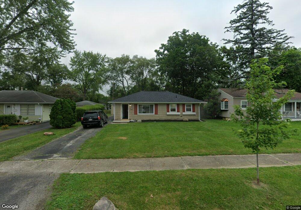
1461 Shady Lane Rd Columbus, OH 43227
Shady Lane NeighborhoodEstimated Value: $182,000 - $224,000
2
Beds
1
Bath
912
Sq Ft
$226/Sq Ft
Est. Value
About This Home
This home is located at 1461 Shady Lane Rd, Columbus, OH 43227 and is currently estimated at $205,872, approximately $225 per square foot. 1461 Shady Lane Rd is a home located in Franklin County with nearby schools including Shady Lane Elementary School, Sherwood Middle School, and Walnut Ridge High School.
Ownership History
Date
Name
Owned For
Owner Type
Purchase Details
Closed on
Mar 8, 2005
Sold by
Novastar Mortgage Inc
Bought by
Longstreth Craig A
Current Estimated Value
Home Financials for this Owner
Home Financials are based on the most recent Mortgage that was taken out on this home.
Original Mortgage
$63,000
Outstanding Balance
$31,939
Interest Rate
5.61%
Mortgage Type
Purchase Money Mortgage
Estimated Equity
$173,933
Purchase Details
Closed on
Jan 10, 2004
Sold by
Obernolte Natalie and Estate Of David W Hopkins
Bought by
Novastar Mortgage Inc
Purchase Details
Closed on
Mar 9, 1992
Bought by
Hopkins David W
Purchase Details
Closed on
Feb 7, 1989
Purchase Details
Closed on
Sep 1, 1986
Create a Home Valuation Report for This Property
The Home Valuation Report is an in-depth analysis detailing your home's value as well as a comparison with similar homes in the area
Home Values in the Area
Average Home Value in this Area
Purchase History
| Date | Buyer | Sale Price | Title Company |
|---|---|---|---|
| Longstreth Craig A | $63,000 | -- | |
| Novastar Mortgage Inc | -- | Sovereign | |
| Hopkins David W | -- | -- | |
| -- | -- | -- | |
| -- | $44,900 | -- |
Source: Public Records
Mortgage History
| Date | Status | Borrower | Loan Amount |
|---|---|---|---|
| Open | Longstreth Craig A | $63,000 |
Source: Public Records
Tax History Compared to Growth
Tax History
| Year | Tax Paid | Tax Assessment Tax Assessment Total Assessment is a certain percentage of the fair market value that is determined by local assessors to be the total taxable value of land and additions on the property. | Land | Improvement |
|---|---|---|---|---|
| 2024 | $2,403 | $52,430 | $18,130 | $34,300 |
| 2023 | $2,373 | $52,430 | $18,130 | $34,300 |
| 2022 | $1,228 | $23,100 | $6,790 | $16,310 |
| 2021 | $1,230 | $23,100 | $6,790 | $16,310 |
| 2020 | $1,327 | $23,100 | $6,790 | $16,310 |
| 2019 | $1,119 | $17,990 | $5,460 | $12,530 |
| 2018 | $1,138 | $17,990 | $5,460 | $12,530 |
| 2017 | $1,195 | $17,990 | $5,460 | $12,530 |
| 2016 | $1,272 | $18,730 | $5,360 | $13,370 |
| 2015 | $1,158 | $18,730 | $5,360 | $13,370 |
| 2014 | $1,161 | $18,730 | $5,360 | $13,370 |
| 2013 | $673 | $22,015 | $6,300 | $15,715 |
Source: Public Records
Map
Nearby Homes
- 4677 E Livingston Ave
- 4571 Aragon Ave
- 4501 Amesbury Rd
- 4530 Amesbury Rd
- 4484 Grimsby Rd
- 1563 Genoa Place
- 4467 Grimsby Rd
- 1571 Baxter Dr
- 1607 Shady Lane Rd
- 1281 Maetzel Dr
- 4701 Janis Dr
- 1691 Shady Lane Rd
- 1543 S Hamilton Rd
- 1678 Huxley Dr
- 1618 S Hamilton Rd
- 4295 Colby Ave
- 1130 Little Plum Ln
- 1693 Gaynor Rd
- 4589 Belfast Dr
- 1486 Efner Dr
- 1453 Shady Lane Rd
- 1445 Shady Lane Rd
- 1454 Simpson Dr
- 1460 Simpson Dr
- 1446 Simpson Dr
- 1485 Shady Lane Rd
- 1437 Shady Lane Rd
- 1468 Simpson Dr
- 1438 Simpson Dr
- 1474 Simpson Dr
- 1491 Shady Lane Rd
- 1429 Shady Lane Rd
- 1430 Simpson Dr
- 1501 Shady Lane Rd
- 1480 Simpson Dr
- 1421 Shady Lane Rd
- 1453 Simpson Dr
- 1422 Simpson Dr
- 1461 Simpson Dr
- 1439 Simpson Dr