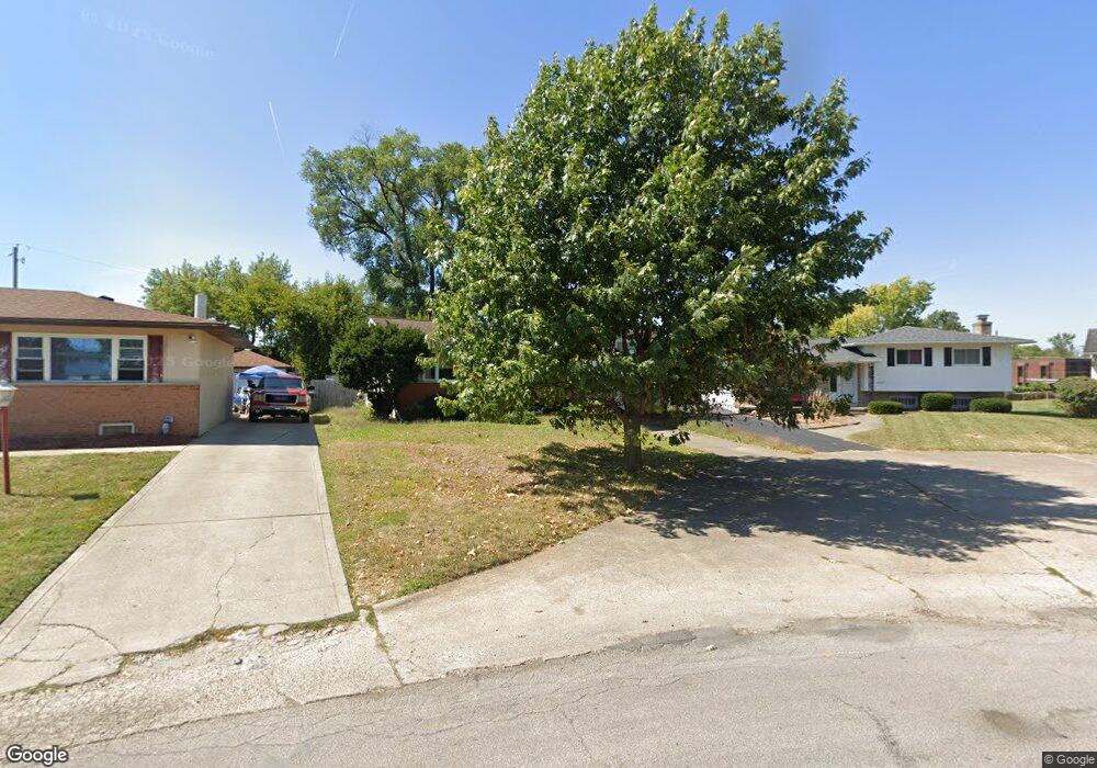
1461 Walkath Dr Columbus, OH 43227
Leawood NeighborhoodEstimated Value: $218,586 - $331,000
4
Beds
2
Baths
1,470
Sq Ft
$177/Sq Ft
Est. Value
About This Home
This home is located at 1461 Walkath Dr, Columbus, OH 43227 and is currently estimated at $259,647, approximately $176 per square foot. 1461 Walkath Dr is a home located in Franklin County with nearby schools including Leawood Elementary School, Sherwood Middle School, and Walnut Ridge High School.
Ownership History
Date
Name
Owned For
Owner Type
Purchase Details
Closed on
Jun 22, 2001
Sold by
Shanks Dolores A and Shanks Delores A
Bought by
Obrien Carl P and Obrien Margaret M
Current Estimated Value
Home Financials for this Owner
Home Financials are based on the most recent Mortgage that was taken out on this home.
Original Mortgage
$117,800
Outstanding Balance
$45,069
Interest Rate
7.2%
Mortgage Type
VA
Estimated Equity
$214,578
Purchase Details
Closed on
Oct 29, 1992
Bought by
Shanks Dolores A
Create a Home Valuation Report for This Property
The Home Valuation Report is an in-depth analysis detailing your home's value as well as a comparison with similar homes in the area
Home Values in the Area
Average Home Value in this Area
Purchase History
| Date | Buyer | Sale Price | Title Company |
|---|---|---|---|
| Obrien Carl P | $115,500 | Chicago Title | |
| Shanks Dolores A | -- | -- |
Source: Public Records
Mortgage History
| Date | Status | Borrower | Loan Amount |
|---|---|---|---|
| Open | Obrien Carl P | $117,800 |
Source: Public Records
Tax History Compared to Growth
Tax History
| Year | Tax Paid | Tax Assessment Tax Assessment Total Assessment is a certain percentage of the fair market value that is determined by local assessors to be the total taxable value of land and additions on the property. | Land | Improvement |
|---|---|---|---|---|
| 2024 | $3,008 | $67,030 | $21,140 | $45,890 |
| 2023 | $2,970 | $67,025 | $21,140 | $45,885 |
| 2022 | $2,237 | $43,130 | $5,850 | $37,280 |
| 2021 | $2,241 | $43,130 | $5,850 | $37,280 |
| 2020 | $2,244 | $43,130 | $5,850 | $37,280 |
| 2019 | $2,109 | $34,760 | $4,690 | $30,070 |
| 2018 | $1,947 | $34,760 | $4,690 | $30,070 |
| 2017 | $2,107 | $34,760 | $4,690 | $30,070 |
| 2016 | $1,971 | $29,760 | $4,240 | $25,520 |
| 2015 | $1,790 | $29,760 | $4,240 | $25,520 |
| 2014 | $1,794 | $29,760 | $4,240 | $25,520 |
| 2013 | $1,041 | $35,000 | $4,970 | $30,030 |
Source: Public Records
Map
Nearby Homes
- 1294 Dellwood Ave
- 1656 Vilardo Ln
- 1640 Striebel Rd
- 1254 Elderwood Ave
- 1252 Carolwood Ave
- 1490 Elaine Rd Unit 1462
- 1635 Elaine Rd
- 1220 Elderwood Ave
- 4181 Colby Ave
- 3861 Gilroy Rd
- 3945 Dillon Dr
- 3566 Seabrook Ave
- 1291 Westphal Ave
- 3955 E Fulton St
- 4295 Colby Ave
- 931 E Fulton St
- 1543 S Hamilton Rd
- 3598 Astor Ave
- 1618 S Hamilton Rd
- 1836 Penfield Ct S
- 1469 Walkath Dr
- 1457 Walkath Dr
- 1473 Walkath Dr
- 1450 Vilardo Ln
- 3946 Geormar Dr
- 1458 Vilardo Ln
- 1444 Vilardo Ln
- 1466 Vilardo Ln
- 3952 Geormar Dr
- 1485 Walkath Dr
- 3955 Geormar Dr
- 1438 Vilardo Ln
- 1472 Vilardo Ln
- 1478 Walkath Dr
- 1430 Vilardo Ln
- 1480 Vilardo Ln
- 1493 Walkath Dr
- 1486 Walkath Dr
- 1422 Vilardo Ln
- 1455 Striebel Rd