14610 County Road 19 West Unity, OH 43570
Estimated Value: $185,826 - $210,000
3
Beds
2
Baths
1,456
Sq Ft
$135/Sq Ft
Est. Value
About This Home
This home is located at 14610 County Road 19, West Unity, OH 43570 and is currently estimated at $196,957, approximately $135 per square foot. 14610 County Road 19 is a home with nearby schools including Hilltop Elementary School and Hilltop High School.
Ownership History
Date
Name
Owned For
Owner Type
Purchase Details
Closed on
Jul 25, 2019
Sold by
Reed Mitchell S and Reed Sherrill A
Bought by
Davis Paul and Davis Talisha
Current Estimated Value
Purchase Details
Closed on
Jun 21, 2006
Sold by
Reed Mitchel S and Reed Sherrill A
Bought by
Reed Mitchel S and Reed Sherrill A
Purchase Details
Closed on
Sep 26, 2003
Sold by
Reed Mitchell S
Bought by
Reed Mitchel S and Reed Sherrill A
Purchase Details
Closed on
Aug 10, 1994
Bought by
Reed Mitchell S
Create a Home Valuation Report for This Property
The Home Valuation Report is an in-depth analysis detailing your home's value as well as a comparison with similar homes in the area
Purchase History
| Date | Buyer | Sale Price | Title Company |
|---|---|---|---|
| Davis Paul | $50,000 | None Available | |
| Reed Mitchel S | -- | None Available | |
| Reed Mitchel S | $37,000 | -- | |
| Reed Mitchell S | $44,500 | -- |
Source: Public Records
Tax History
| Year | Tax Paid | Tax Assessment Tax Assessment Total Assessment is a certain percentage of the fair market value that is determined by local assessors to be the total taxable value of land and additions on the property. | Land | Improvement |
|---|---|---|---|---|
| 2025 | $1,959 | $54,180 | $13,720 | $40,460 |
| 2024 | $1,959 | $54,180 | $13,720 | $40,460 |
| 2023 | $1,996 | $41,410 | $12,320 | $29,090 |
| 2022 | $1,830 | $41,410 | $12,320 | $29,090 |
| 2021 | $1,831 | $41,410 | $12,320 | $29,090 |
| 2020 | $1,834 | $39,000 | $11,310 | $27,690 |
| 2019 | $1,780 | $39,000 | $11,310 | $27,690 |
| 2018 | $1,811 | $39,000 | $11,310 | $27,690 |
| 2017 | $1,066 | $23,280 | $10,010 | $13,270 |
| 2016 | $552 | $12,430 | $10,010 | $2,420 |
| 2015 | $587 | $12,430 | $10,010 | $2,420 |
| 2014 | $587 | $12,180 | $9,800 | $2,380 |
| 2013 | $589 | $12,180 | $9,800 | $2,380 |
Source: Public Records
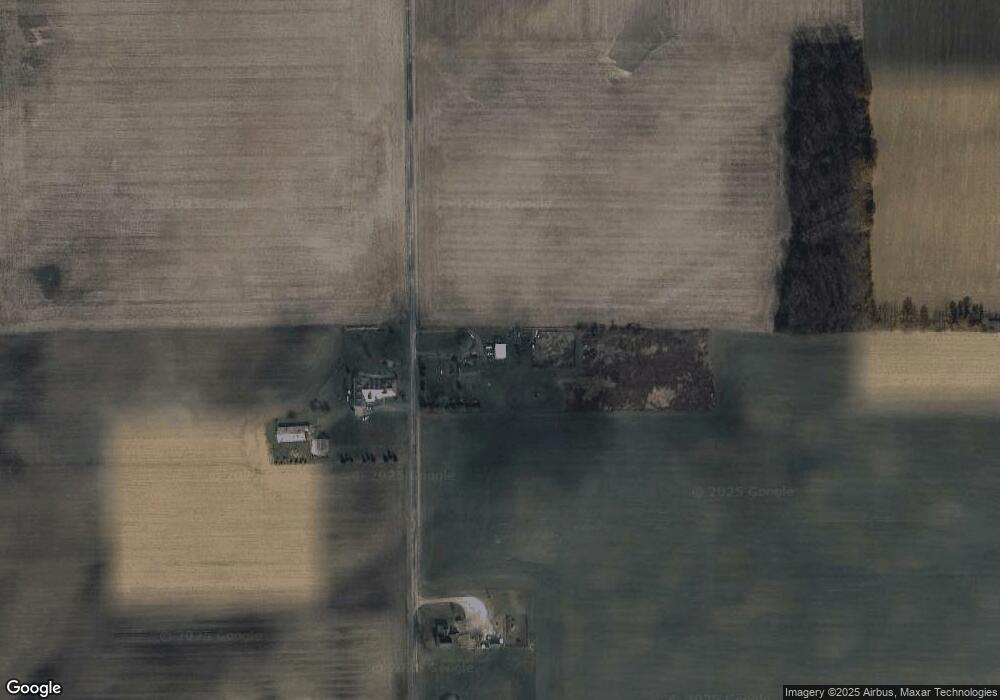
Map
Nearby Homes
- 502 N Lincoln St
- 613 W Jackson St
- 611 W Jackson St
- 000 W Jackson
- 902 E Church St
- 22227 Us Highway 20a
- 14605 County O
- 14857 U S 20
- 0 US Highway 20a
- 909 High Point Dr
- 14640 U S 20a
- 500 Briarwood Ln
- 9019 19-50 Rd
- 404 Clear Fork Dr
- 201 W Church St
- 10800 South Rd
- 14191 Lickley Rd
- 16724 U S 20
- 10918 Ohio 15
- 0 St Rt 15 Unit 10001011
- 14464 County Road 19
- 14464 Co Rd 19
- 14404 County Road 19
- 14340 County Road 19
- 14345 County Road 19
- 19104 County O
- 18998 County Road O
- 19015 County Road O
- 19286 County Road O
- 15005 County Road 19
- 15089 County Road 19
- 18992 County Road N30
- 19120 County Road N30
- 15052 County Road 19
- 18727 County Road O
- 9629 County Road 19-50
- 19550 County Road O
- 18631 County Road O
- 15005 County Road 1950
- 18524 County Road N30
Your Personal Tour Guide
Ask me questions while you tour the home.