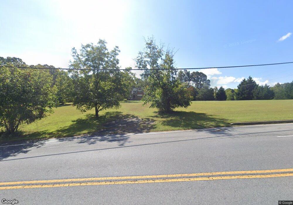
14611 Burnt Store Rd Hughesville, MD 20637
Estimated Value: $419,313 - $608,000
--
Bed
1
Bath
2,216
Sq Ft
$232/Sq Ft
Est. Value
About This Home
This home is located at 14611 Burnt Store Rd, Hughesville, MD 20637 and is currently estimated at $514,104, approximately $231 per square foot. 14611 Burnt Store Rd is a home located in Charles County with nearby schools including T.C. Martin Elementary School, Milton M. Somers Middle School, and St. Charles High School.
Ownership History
Date
Name
Owned For
Owner Type
Purchase Details
Closed on
Jan 12, 2022
Sold by
Stainbrook Michael B and Stainbrook Ludmilla
Bought by
Stainbrook Michael B and Hajdur-Stainbrook Ludmilla
Current Estimated Value
Purchase Details
Closed on
Sep 4, 1984
Sold by
Giordano Gilbert R and Giordano Maldonado B
Bought by
Stainbrook Michael B and Stainbrook Ludmilla H
Home Financials for this Owner
Home Financials are based on the most recent Mortgage that was taken out on this home.
Original Mortgage
$96,000
Interest Rate
14.38%
Create a Home Valuation Report for This Property
The Home Valuation Report is an in-depth analysis detailing your home's value as well as a comparison with similar homes in the area
Home Values in the Area
Average Home Value in this Area
Purchase History
| Date | Buyer | Sale Price | Title Company |
|---|---|---|---|
| Stainbrook Michael B | -- | None Listed On Document | |
| Stainbrook Michael B | $116,000 | -- |
Source: Public Records
Mortgage History
| Date | Status | Borrower | Loan Amount |
|---|---|---|---|
| Previous Owner | Stainbrook Michael B | $96,000 |
Source: Public Records
Tax History Compared to Growth
Tax History
| Year | Tax Paid | Tax Assessment Tax Assessment Total Assessment is a certain percentage of the fair market value that is determined by local assessors to be the total taxable value of land and additions on the property. | Land | Improvement |
|---|---|---|---|---|
| 2025 | $9,918 | $313,533 | -- | -- |
| 2024 | $4,269 | $295,167 | $0 | $0 |
| 2023 | $4,026 | $276,800 | $125,800 | $151,000 |
| 2022 | $3,826 | $265,667 | $0 | $0 |
| 2021 | $3,489 | $254,533 | $0 | $0 |
| 2020 | $3,489 | $243,400 | $125,800 | $117,600 |
| 2019 | $3,473 | $243,400 | $125,800 | $117,600 |
| 2018 | $3,433 | $243,400 | $125,800 | $117,600 |
| 2017 | $3,569 | $254,300 | $0 | $0 |
| 2016 | -- | $254,300 | $0 | $0 |
| 2015 | $3,212 | $254,300 | $0 | $0 |
| 2014 | $3,212 | $257,900 | $0 | $0 |
Source: Public Records
Map
Nearby Homes
- 6805 Pale Morning Ct
- 13311 Windjammer Ct
- 13301 Windjammer Ct
- 14815 Pale Morning Place
- 14439 Pathfinder Ct
- 14165 Shelwick Place
- 14150 Jaydale Place
- 6864 Carrico Mill Rd
- 6230 Cracklingtown Rd
- 8328 Old Leonardtown Rd
- 15190 Prince Frederick Rd
- 6290 Cracklingtown Rd
- 15275 Lukes Ln
- 15204 Hughesville School Rd
- 14413 Bittersweet Dr
- 0 Cracklingtown Rd Unit MDCH2048934
- 0 Leonardtown & Herbert Rd Unit MDCH2037732
- 7421 Sugar Cane Ct
- 7221 Leonardtown Rd
- 13810 Edelen Dr
- 6710 Pale Morning Ct
- 6705 Pale Morning Ct
- 14640 Burnt Store Rd
- 14660 Burnt Store Rd
- 6715 Pale Morning Ct
- 14525 Burnt Store Rd
- 14522 Burnt Store Rd
- 6735 Pale Morning Ct
- 14671 Burnt Store Rd
- 14680 Burnt Store Rd
- 14505 Burnt Store Rd
- 6745 Pale Morning Ct
- 6565 James Lee Dr
- 6599 James Lee Dr
- 6730 Pale Morning Ct
- 6755 Pale Morning Ct
- 6722 Caddis Place
- 6550 Maple Grove Place
- 6575 James Lee Dr
- 6585 James Lee Dr