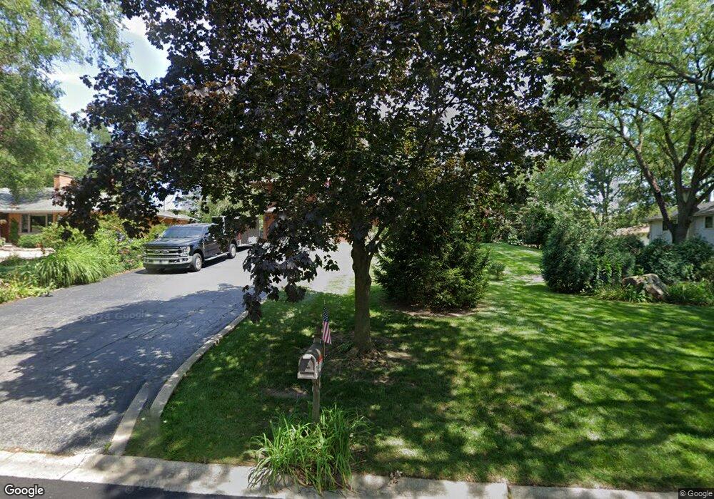
14611 Westwood Dr Orland Park, IL 60462
Orland Grove NeighborhoodEstimated Value: $383,628 - $512,000
3
Beds
2
Baths
1,936
Sq Ft
$226/Sq Ft
Est. Value
About This Home
This home is located at 14611 Westwood Dr, Orland Park, IL 60462 and is currently estimated at $438,157, approximately $226 per square foot. 14611 Westwood Dr is a home located in Cook County with nearby schools including Orland Park Elementary School, High Point Elementary School, and Orland Jr High School.
Ownership History
Date
Name
Owned For
Owner Type
Purchase Details
Closed on
May 21, 2004
Sold by
Latronica Gary J and Latronica Carol A
Bought by
Latronica Gary J and Latronica Carol A
Current Estimated Value
Home Financials for this Owner
Home Financials are based on the most recent Mortgage that was taken out on this home.
Original Mortgage
$160,000
Interest Rate
5.91%
Mortgage Type
New Conventional
Create a Home Valuation Report for This Property
The Home Valuation Report is an in-depth analysis detailing your home's value as well as a comparison with similar homes in the area
Home Values in the Area
Average Home Value in this Area
Purchase History
| Date | Buyer | Sale Price | Title Company |
|---|---|---|---|
| Latronica Gary J | -- | Ticor Title |
Source: Public Records
Mortgage History
| Date | Status | Borrower | Loan Amount |
|---|---|---|---|
| Closed | Latronica Gary J | $160,000 |
Source: Public Records
Tax History Compared to Growth
Tax History
| Year | Tax Paid | Tax Assessment Tax Assessment Total Assessment is a certain percentage of the fair market value that is determined by local assessors to be the total taxable value of land and additions on the property. | Land | Improvement |
|---|---|---|---|---|
| 2024 | $6,780 | $33,722 | $8,438 | $25,284 |
| 2023 | $6,570 | $36,001 | $8,438 | $27,563 |
| 2022 | $6,570 | $28,773 | $7,425 | $21,348 |
| 2021 | $7,361 | $28,773 | $7,425 | $21,348 |
| 2020 | $7,149 | $28,773 | $7,425 | $21,348 |
| 2019 | $7,659 | $31,334 | $6,750 | $24,584 |
| 2018 | $7,448 | $31,334 | $6,750 | $24,584 |
| 2017 | $7,295 | $31,334 | $6,750 | $24,584 |
| 2016 | $6,580 | $26,079 | $6,075 | $20,004 |
| 2015 | $6,482 | $26,079 | $6,075 | $20,004 |
| 2014 | $6,401 | $26,079 | $6,075 | $20,004 |
| 2013 | $6,022 | $26,125 | $6,075 | $20,050 |
Source: Public Records
Map
Nearby Homes
- 14405 Greenland Ave
- 14701 Crystal Tree Dr
- 10534 Golf Rd
- 15060 Hale Dr
- 15059 Hale Dr
- 10639 Misty Hill Rd
- 9750 Ravinia Ln Unit 303
- 15106 West Ave
- 14700 108th Ave
- 10227 Hilltop Dr
- 15168 Franchesca Ln
- 14340 108th Ave
- 10330 Hilltop Dr
- 10021 El Cameno Real Dr
- 14137 108th Ave
- 14445 S La Grange Rd
- 10801 Doyle Ct
- 10924 Crystal Springs Ln
- 10652 153rd Place
- 9925 Shady Ln Unit 5001
- 14551 Westwood Dr
- 14615 Westwood Dr
- 14600 Raneys Ln
- 14610 Raneys Ln
- 14560 Raneys Ln
- 14620 Raneys Ln
- 14625 Westwood Dr
- 14600 Westwood Dr
- 14541 Westwood Dr
- 14570 Westwood Dr
- 14610 Westwood Dr
- 14550 Raneys Ln
- 14630 Raneys Ln
- 14560 Westwood Dr
- 14620 Westwood Dr
- 14635 Westwood Dr
- 14615 Raneys Ln
- 14605 Oakley Ave
- 14531 Westwood Dr
- 14611 Raneys Ln