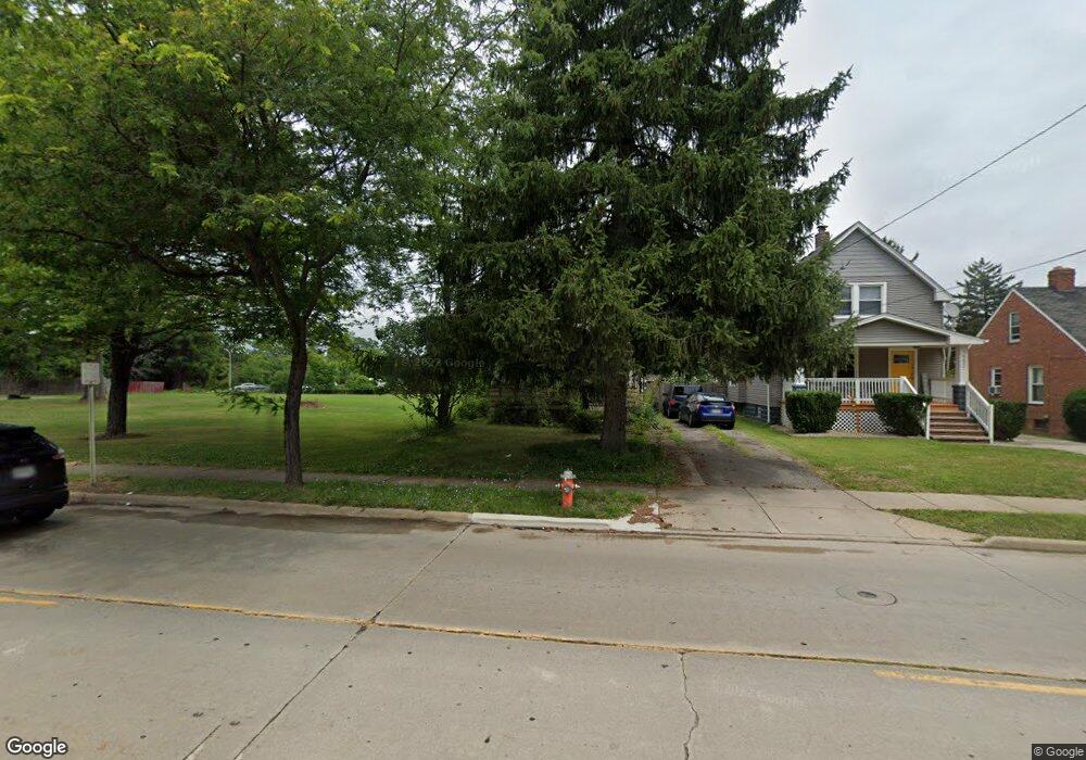
14615 Granger Rd Maple Heights, OH 44137
Estimated Value: $98,000 - $127,000
3
Beds
1
Bath
1,138
Sq Ft
$100/Sq Ft
Est. Value
About This Home
This home is located at 14615 Granger Rd, Maple Heights, OH 44137 and is currently estimated at $113,300, approximately $99 per square foot. 14615 Granger Rd is a home located in Cuyahoga County with nearby schools including Abraham Lincoln Elementary School, Rockside/ J.F. Kennedy School, and Italy High School.
Ownership History
Date
Name
Owned For
Owner Type
Purchase Details
Closed on
Jul 28, 2004
Sold by
Montagno Angelo
Bought by
Baker Linda Diana Montagno
Current Estimated Value
Purchase Details
Closed on
Jul 30, 1984
Sold by
Montagno Angelo
Bought by
Montagno Angelo
Purchase Details
Closed on
Jul 26, 1984
Sold by
Montagno Angelo and Montagno Mildred
Bought by
Montagno Angelo
Purchase Details
Closed on
Jan 1, 1975
Bought by
Montagno Angelo and Montagno Mildred
Create a Home Valuation Report for This Property
The Home Valuation Report is an in-depth analysis detailing your home's value as well as a comparison with similar homes in the area
Home Values in the Area
Average Home Value in this Area
Purchase History
| Date | Buyer | Sale Price | Title Company |
|---|---|---|---|
| Baker Linda Diana Montagno | -- | -- | |
| Montagno Angelo | -- | -- | |
| Montagno Angelo | -- | -- | |
| Montagno Angelo | -- | -- |
Source: Public Records
Tax History Compared to Growth
Tax History
| Year | Tax Paid | Tax Assessment Tax Assessment Total Assessment is a certain percentage of the fair market value that is determined by local assessors to be the total taxable value of land and additions on the property. | Land | Improvement |
|---|---|---|---|---|
| 2024 | $1,992 | $31,500 | $6,615 | $24,885 |
| 2023 | $1,495 | $21,670 | $3,920 | $17,750 |
| 2022 | $2,315 | $21,670 | $3,920 | $17,750 |
| 2021 | $2,467 | $21,670 | $3,920 | $17,750 |
| 2020 | $2,109 | $16,420 | $2,980 | $13,440 |
| 2019 | $2,098 | $46,900 | $8,500 | $38,400 |
| 2018 | $2,064 | $16,420 | $2,980 | $13,440 |
| 2017 | $2,202 | $17,120 | $3,780 | $13,340 |
| 2016 | $2,130 | $17,120 | $3,780 | $13,340 |
| 2015 | $2,021 | $17,120 | $3,780 | $13,340 |
| 2014 | $2,021 | $17,650 | $3,890 | $13,760 |
Source: Public Records
Map
Nearby Homes
- 14567 Pease Rd
- 15095 Granger Rd
- 14305 Granger Rd
- 5251 Forest Ave
- 5220 Forest Ave
- 5197 Milo Ave
- 5100 Greenhurst Dr
- 13704 Linn Ave
- 14417 Corridon Ave
- 15911 Friend Ave
- 5270 E 135th St
- 15505 Benhoff Dr
- 16174 Friendly St
- 13917 Maple Leaf Dr
- 4955 E 141st St
- 14404 Tokay Ave
- 5353 E 129th St
- 13300 Shady Oak Blvd
- 13116 Oak Park Blvd
- 13206 Shady Oak Blvd
- 14617 Granger Rd
- 14623 Granger Rd
- 5328 Kohout St
- 5324 Kohout St
- 14620 Granger Rd
- 14610 Granger Rd
- 14604 Granger Rd
- 5320 Kohout St
- 14616 Granger Rd
- 14624 Granger Rd
- 14701 Granger Rd
- 5335 Kohout St
- 14533 Granger Rd
- 14600 Granger Rd
- 14628 Granger Rd
- 14628 Granger Rd Unit 2
- 5331 Kohout St
- 5316 Kohout St
- 5325 Kohout St
- 14529 Granger Rd