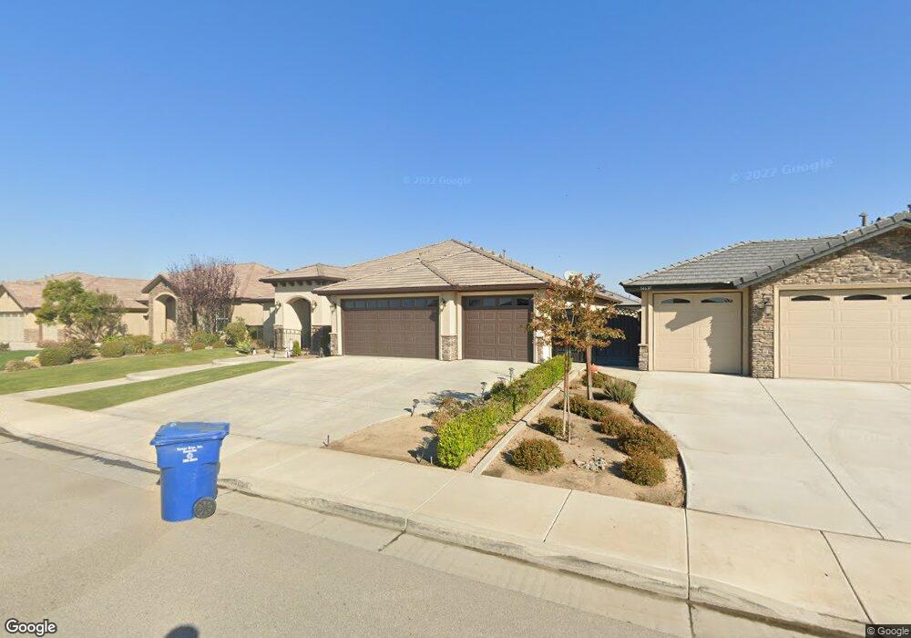
14616 Evadell Ct Bakersfield, CA 93314
Estimated Value: $603,965 - $722,000
About This Home
This home is located at 14616 Evadell Ct, Bakersfield, CA 93314 and is currently estimated at $672,741, approximately $243 per square foot. 14616 Evadell Ct is a home with nearby schools including Patriot Elementary School, Freedom Middle School, and Frontier High School.
Ownership History
We collect this data history from publicly available records. To have your information removed, we recommend requesting removal directly through your county’s website.
Purchase Details
Home Financials for this Owner
Home Financials are based on the most recent Mortgage that was taken out on this home.Purchase Details
Purchase Details
Home Financials for this Owner
Home Financials are based on the most recent Mortgage that was taken out on this home.Purchase Details
Home Financials for this Owner
Home Financials are based on the most recent Mortgage that was taken out on this home.Home Values in the Area
Average Home Value in this Area
Purchase History
We collect this data history from publicly available records. To have your information removed, we recommend requesting removal directly through your county’s website.
| Date | Buyer | Sale Price | Title Company |
|---|---|---|---|
| -- | Amrock Inc | ||
| -- | Amrock Inc | ||
| -- | None Available | ||
| $426,000 | Ticor Title Company | ||
| $80,000 | None Available |
Mortgage History
We collect this data history from publicly available records. To have your information removed, we recommend requesting removal directly through your county’s website.
| Date | Status | Borrower | Loan Amount |
|---|---|---|---|
| Open | $364,000 | ||
| Closed | $383,400 | ||
| Previous Owner | $400,000 |
Tax History
We collect this data history from publicly available records. To have your information removed, we recommend requesting removal directly through your county’s website.
| Year | Tax Paid | Tax Assessment Tax Assessment Total Assessment is a certain percentage of the fair market value that is determined by local assessors to be the total taxable value of land and additions on the property. | Land | Improvement |
|---|---|---|---|---|
| 2025 | $6,699 | $511,979 | $120,181 | $391,798 |
| 2024 | $6,539 | $501,941 | $117,825 | $384,116 |
| 2023 | $6,539 | $492,100 | $115,515 | $376,585 |
| 2022 | $6,394 | $482,451 | $113,250 | $369,201 |
| 2021 | $6,233 | $472,992 | $111,030 | $361,962 |
| 2020 | $6,139 | $468,143 | $109,892 | $358,251 |
| 2019 | $6,042 | $468,143 | $109,892 | $358,251 |
| 2018 | $5,882 | $449,967 | $105,626 | $344,341 |
| 2017 | $5,788 | $441,145 | $103,555 | $337,590 |
| 2016 | $5,464 | $432,496 | $101,525 | $330,971 |
| 2015 | $1,390 | $80,000 | $80,000 | $0 |
| 2014 | -- | $8,140 | $8,140 | $0 |
Map
- 14808 Wayne Lee Ct
- 14908 Cotton Blossom Ave
- 14803 Pams Way
- 14637 Alpenglow
- 14940 Pams Way
- 14732 Alpenglow
- 5404 Leonard Alvarado Rd
- 14717 Alpenglow St
- 14705 Alpenglow St
- 15119 Cotton Blossom Ave
- 15012 Pams Way
- 14328 Austin Creek Ave
- 14742 Alpenglow
- 14722 Alpenglow
- 14005 Austin Creek Ave
- 14332 Table Rock Ave
- 4140 Meadow Lake Dr
- 12403 Hageman Rd
- 12701 Hageman Rd
- 13612 Star Shine Dr
- 14621 Evadell Ct
- 14615 Evadell Ct
- 14627 Evadell Ct
- 14609 Evadell Ct
- 14622 Evadell Ct
- 14628 Evadell Ct
- 14705 Evadell Ct
- 14626 Pomegranate Ave
- 14610 Evadell Ct
- 14618 Pomegranate Ave
- 14603 Evadell Ct
- 14634 Pomegranate Ave
- 14610 Pomegranate Ave
- 14604 Evadell Ct
- 14704 Evadell Ct
- 14711 Evadell Ct
- 14602 Pomegranate Ave
- 14513 Evadell Ct
- 14700 Pomegranate Ave
- 14623 Wayne Lee Ct
Ask me questions while you tour the home.