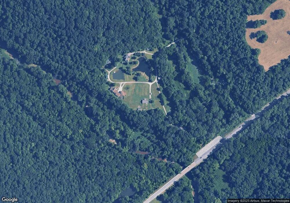
14617 Highway 62 Charlestown, IN 47111
Estimated Value: $304,866 - $434,000
3
Beds
2
Baths
1,583
Sq Ft
$224/Sq Ft
Est. Value
About This Home
This home is located at 14617 Highway 62, Charlestown, IN 47111 and is currently estimated at $354,967, approximately $224 per square foot. 14617 Highway 62 is a home located in Clark County with nearby schools including Pleasant Ridge Elementary School, Charlestown Senior High School, and St. Michael School.
Create a Home Valuation Report for This Property
The Home Valuation Report is an in-depth analysis detailing your home's value as well as a comparison with similar homes in the area
Home Values in the Area
Average Home Value in this Area
Tax History Compared to Growth
Tax History
| Year | Tax Paid | Tax Assessment Tax Assessment Total Assessment is a certain percentage of the fair market value that is determined by local assessors to be the total taxable value of land and additions on the property. | Land | Improvement |
|---|---|---|---|---|
| 2024 | $1,874 | $220,100 | $81,500 | $138,600 |
| 2023 | $1,409 | $185,400 | $67,200 | $118,200 |
| 2022 | $1,347 | $174,300 | $52,900 | $121,400 |
| 2021 | $1,070 | $148,800 | $42,900 | $105,900 |
| 2020 | $974 | $135,600 | $35,800 | $99,800 |
| 2019 | $852 | $129,500 | $35,800 | $93,700 |
| 2018 | $872 | $122,100 | $35,800 | $86,300 |
| 2017 | $698 | $116,000 | $35,800 | $80,200 |
| 2016 | $682 | $119,600 | $35,800 | $83,800 |
| 2014 | $687 | $115,200 | $35,800 | $79,400 |
| 2013 | -- | $115,500 | $35,800 | $79,700 |
Source: Public Records
Map
Nearby Homes
- 0 Pebble Brook Dr Unit 2025011276
- Onyx Plan at Rock Springs
- Sapphire Plan at Rock Springs
- Gem Plan at Rock Springs
- Emerald Plan at Rock Springs
- Ruby Plan at Rock Springs
- Emerald Bonus Plan at Rock Springs
- Gem Bonus Plan at Rock Springs
- Diamond Plan at Rock Springs
- Pearl Plan at Rock Springs
- 7625 Melrose (Lot 558) Ln
- Hadley Plan at Rock Springs
- Opal Plan at Rock Springs
- 3205 Edens Way
- 3206 Edens Way
- 3201 Edens Way
- 3101 Atocha Cir
- 3105 Atocha Cir
- 3103 Atocha Cir
- 16103 Beechwood Dr
- 14623 Highway 62
- 14615 Highway 62
- 14629 Highway 62
- 14621 Highway 62
- 12112 Highway 62
- 12112 Highway 62
- 14613 Highway 62
- 14410 Highway 62
- 2206 Blue Ridge Rd
- 14007 Highway 62
- 14007 Highway 62
- 11000 Highway 62
- 13909 Highway 62
- 15107 Highway 62
- 15117 Highway 62
- 3922 Tunnel Mill Rd
- 15204 Highway 62
- 13507 Highway 62
- 15102 Highway 62
- 225 Pebble Brook Dr