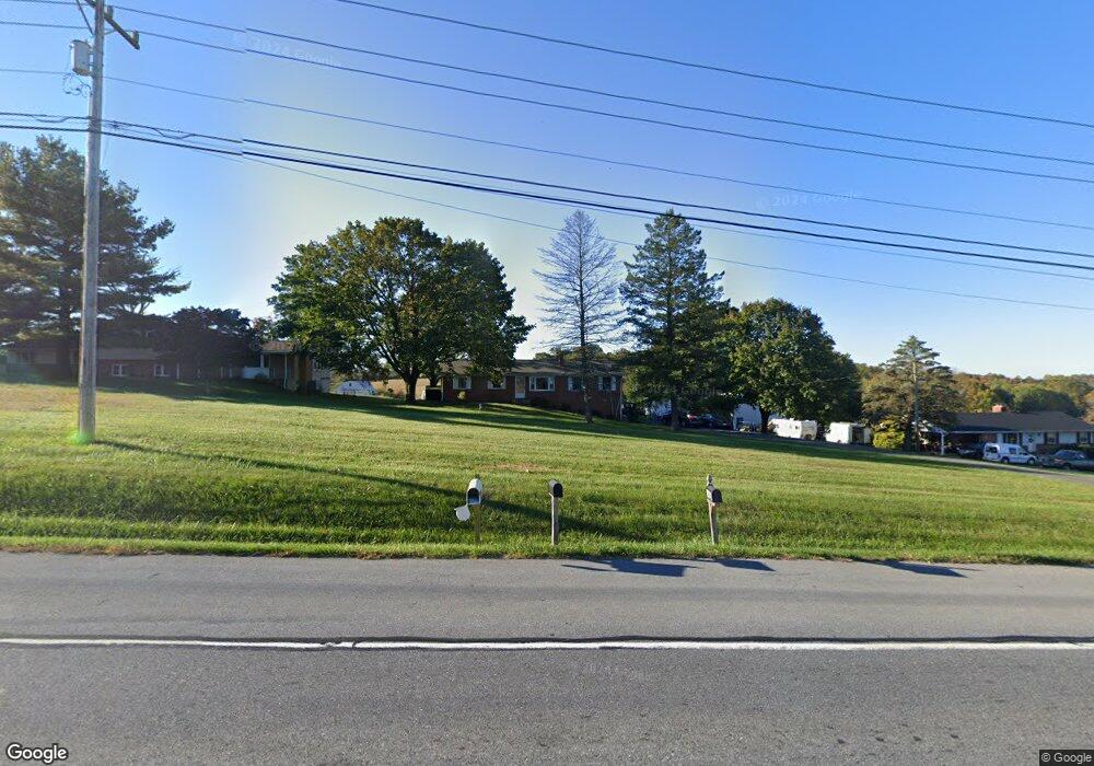
14623 Liberty Rd Mount Airy, MD 21771
Estimated Value: $363,437 - $627,000
--
Bed
1
Bath
1,534
Sq Ft
$326/Sq Ft
Est. Value
About This Home
This home is located at 14623 Liberty Rd, Mount Airy, MD 21771 and is currently estimated at $500,359, approximately $326 per square foot. 14623 Liberty Rd is a home located in Frederick County with nearby schools including Liberty Elementary School, New Market Middle School, and Linganore High School.
Ownership History
Date
Name
Owned For
Owner Type
Purchase Details
Closed on
Jan 5, 2021
Sold by
Rhoderick Curtis E and Rhoderick Samantha
Bought by
Rhoderick Curtis E and Rhoderick Samantha
Current Estimated Value
Home Financials for this Owner
Home Financials are based on the most recent Mortgage that was taken out on this home.
Original Mortgage
$175,000
Outstanding Balance
$127,848
Interest Rate
2.67%
Mortgage Type
New Conventional
Estimated Equity
$372,511
Purchase Details
Closed on
Dec 27, 2010
Sold by
Mcdermott Matthew J and Mcdermott Sandra
Bought by
Rhoderick Curtis E and Renalds Samantha J
Home Financials for this Owner
Home Financials are based on the most recent Mortgage that was taken out on this home.
Original Mortgage
$219,300
Interest Rate
4.17%
Mortgage Type
Purchase Money Mortgage
Create a Home Valuation Report for This Property
The Home Valuation Report is an in-depth analysis detailing your home's value as well as a comparison with similar homes in the area
Home Values in the Area
Average Home Value in this Area
Purchase History
| Date | Buyer | Sale Price | Title Company |
|---|---|---|---|
| Rhoderick Curtis E | -- | Accommodation | |
| Rhoderick Curtis E | $258,000 | -- |
Source: Public Records
Mortgage History
| Date | Status | Borrower | Loan Amount |
|---|---|---|---|
| Open | Rhoderick Curtis E | $175,000 | |
| Closed | Rhoderick Curtis E | $219,300 |
Source: Public Records
Tax History Compared to Growth
Tax History
| Year | Tax Paid | Tax Assessment Tax Assessment Total Assessment is a certain percentage of the fair market value that is determined by local assessors to be the total taxable value of land and additions on the property. | Land | Improvement |
|---|---|---|---|---|
| 2025 | $3,568 | $346,700 | $129,100 | $217,600 |
| 2024 | $3,568 | $315,767 | $0 | $0 |
| 2023 | $3,258 | $284,833 | $0 | $0 |
| 2022 | $3,097 | $253,900 | $87,600 | $166,300 |
| 2021 | $2,949 | $247,533 | $0 | $0 |
| 2020 | $2,949 | $241,167 | $0 | $0 |
| 2019 | $2,875 | $234,800 | $79,300 | $155,500 |
| 2018 | $2,900 | $234,800 | $79,300 | $155,500 |
| 2017 | $2,875 | $234,800 | $0 | $0 |
| 2016 | $2,867 | $238,800 | $0 | $0 |
| 2015 | $2,867 | $237,833 | $0 | $0 |
| 2014 | $2,867 | $236,867 | $0 | $0 |
Source: Public Records
Map
Nearby Homes
- 3816 A Jim Smith Ln
- 0 New Windsor Rd Unit MDFR2073236
- 3720 Buffalo Rd
- 14901 New Windsor Rd
- 15602 Wildrose Ct
- 4417 Buffalo Rd
- 3870 Roop Rd
- 7309 Talbot Run Rd
- 7407 Woodville Rd
- 10015 Parsonage Ln
- 3204 Hooper Rd
- 13201 Nittany Ct
- 0 Keys Chapel Rd Unit MDFR2040360
- 8730 Mapleville Rd
- 15332 New Windsor Rd
- 7208 Wilson Rd
- 2990 Honeywood Dr
- 2995 Sams Creek Rd
- 9522 Bessie Clemson Rd
- 4828 Ridge Rd
- 14627 Liberty Rd
- 14615 Liberty Rd
- 14601 Liberty Rd
- 14513 Liberty Rd
- 14512 Liberty Rd
- 14602 Liberty Rd
- 14511 Liberty Rd
- 14760 Liberty Rd
- 14806A Liberty Rd
- 14806B Liberty Rd
- 14703 Liberty Rd
- 14442A Liberty Rd
- 14442B Liberty Rd
- 14442A Liberty Rd
- 14442 Liberty Rd
- 14442C Liberty Rd
- 14442 Liberty Rd
- 14505 Liberty Rd
- 14428 Liberty Rd
- 14443 Unionville Rd