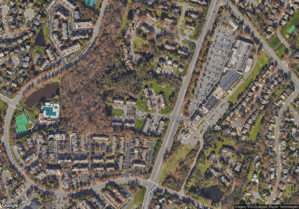
14626 Stone Range Dr Centreville, VA 20120
Estimated Value: $447,000 - $522,000
3
Beds
4
Baths
1,280
Sq Ft
$382/Sq Ft
Est. Value
About This Home
This home is located at 14626 Stone Range Dr, Centreville, VA 20120 and is currently estimated at $488,459, approximately $381 per square foot. 14626 Stone Range Dr is a home located in Fairfax County with nearby schools including Deer Park Elementary School, Ormond Stone Middle School, and Westfield High School.
Ownership History
Date
Name
Owned For
Owner Type
Purchase Details
Closed on
Oct 29, 2010
Sold by
Moreno Jose A and Moreno Cecilia I
Bought by
Ma Ying and Shen Jin M
Current Estimated Value
Home Financials for this Owner
Home Financials are based on the most recent Mortgage that was taken out on this home.
Original Mortgage
$174,400
Outstanding Balance
$115,768
Interest Rate
4.39%
Mortgage Type
New Conventional
Estimated Equity
$372,691
Purchase Details
Closed on
Oct 28, 1997
Sold by
Dutcher Floyd C and Dutcher Shirley A
Bought by
Moreno Jose A and Moreno Cecilia
Home Financials for this Owner
Home Financials are based on the most recent Mortgage that was taken out on this home.
Original Mortgage
$125,869
Interest Rate
7.48%
Mortgage Type
FHA
Create a Home Valuation Report for This Property
The Home Valuation Report is an in-depth analysis detailing your home's value as well as a comparison with similar homes in the area
Home Values in the Area
Average Home Value in this Area
Purchase History
| Date | Buyer | Sale Price | Title Company |
|---|---|---|---|
| Ma Ying | $218,000 | -- | |
| Moreno Jose A | $126,000 | -- |
Source: Public Records
Mortgage History
| Date | Status | Borrower | Loan Amount |
|---|---|---|---|
| Open | Ma Ying | $174,400 | |
| Previous Owner | Moreno Jose A | $125,869 |
Source: Public Records
Tax History
| Year | Tax Paid | Tax Assessment Tax Assessment Total Assessment is a certain percentage of the fair market value that is determined by local assessors to be the total taxable value of land and additions on the property. | Land | Improvement |
|---|---|---|---|---|
| 2025 | $5,119 | $468,570 | $150,000 | $318,570 |
| 2024 | $5,119 | $441,840 | $130,000 | $311,840 |
| 2023 | $4,677 | $414,480 | $130,000 | $284,480 |
| 2022 | $4,622 | $404,240 | $130,000 | $274,240 |
| 2021 | $4,402 | $375,140 | $115,000 | $260,140 |
| 2020 | $4,245 | $358,640 | $100,000 | $258,640 |
| 2019 | $4,015 | $339,260 | $90,000 | $249,260 |
| 2018 | $3,684 | $320,390 | $85,000 | $235,390 |
| 2017 | $3,548 | $305,580 | $84,000 | $221,580 |
| 2016 | $3,467 | $299,240 | $82,000 | $217,240 |
Source: Public Records
Map
Nearby Homes
- 14722 Stream Pond Dr
- 5820 Watermark Cir
- 5515 Buggy Whip Dr
- 14516 Awbrey Patent Dr
- 14669 Battery Ridge Ln
- 14661 Battery Ridge Ln
- 5502 Buggy Whip Dr
- 14801 Carlbern Dr
- 5870 Linden Creek Ct
- 5708 Harrison House Ct
- 14578 Olde Kent Rd
- 14855 Lynhodge Ct
- 14724 Braddock Rd
- 14367 N Slope St
- 5920 Baron Kent Ln
- 14812 Smethwick Place
- 5915 Havener House Way
- 14368 Gringsby Ct
- 13914 Cristo Ct
- 14348 Winding Woods Ct
- 14628 Stone Range Dr
- 14624 Stone Range Dr
- 14630 Stone Range Dr
- 14622 Stone Range Dr
- 14620 Stone Range Dr
- 14618 Stone Range Dr
- 14616 Stone Range Dr
- 14632 Stone Range Dr
- 14606 Stone Range Dr
- 14608 Stone Range Dr
- 14627 Stone Range Dr
- 14604 Stone Range Dr
- 14610 Stone Range Dr
- 14602 Stone Range Dr
- 14614 Stone Range Dr
- 14634 Stone Range Dr
- 14612 Stone Range Dr
- 14625 Stone Range Dr
- 14636 Stone Range Dr
- 14623 Stone Range Dr
