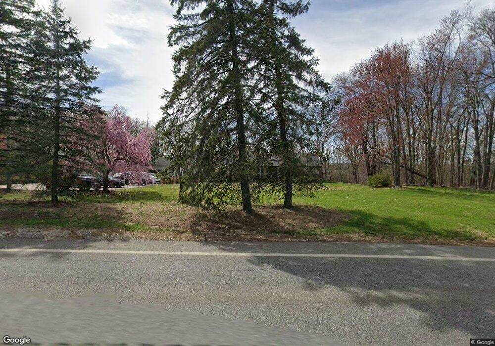
1463 MacOpin Rd West Milford, NJ 07480
Estimated Value: $825,272 - $896,000
--
Bed
--
Bath
3,558
Sq Ft
$243/Sq Ft
Est. Value
About This Home
This home is located at 1463 MacOpin Rd, West Milford, NJ 07480 and is currently estimated at $866,318, approximately $243 per square foot. 1463 MacOpin Rd is a home located in Passaic County with nearby schools including Macopin Middle School and West Milford High School.
Ownership History
Date
Name
Owned For
Owner Type
Purchase Details
Closed on
Jan 24, 2020
Sold by
Sbf 1 Properties Llc
Bought by
Scioto Properties Sp 16 Llc
Current Estimated Value
Purchase Details
Closed on
Jun 5, 2018
Sold by
Advo Propco Llc
Bought by
Sbf 1 Properties Llc
Purchase Details
Closed on
Oct 31, 2016
Sold by
Gi Advo Propco Llc
Bought by
Advo Propco Llc
Purchase Details
Closed on
Dec 5, 2012
Sold by
Nussbaum David and Nussbaum Elaine
Bought by
Gi Advo Properties Llc
Create a Home Valuation Report for This Property
The Home Valuation Report is an in-depth analysis detailing your home's value as well as a comparison with similar homes in the area
Home Values in the Area
Average Home Value in this Area
Purchase History
| Date | Buyer | Sale Price | Title Company |
|---|---|---|---|
| Scioto Properties Sp 16 Llc | -- | Fidelity Natl Ttl Westervill | |
| Sbf 1 Properties Llc | $462,000 | Os National Llc | |
| Advo Propco Llc | -- | -- | |
| Gi Advo Properties Llc | $440,000 | Group 21 Title Agency |
Source: Public Records
Tax History Compared to Growth
Tax History
| Year | Tax Paid | Tax Assessment Tax Assessment Total Assessment is a certain percentage of the fair market value that is determined by local assessors to be the total taxable value of land and additions on the property. | Land | Improvement |
|---|---|---|---|---|
| 2025 | $17,432 | $430,000 | $98,800 | $331,200 |
| 2024 | $17,523 | $430,000 | $98,800 | $331,200 |
| 2022 | $16,632 | $430,000 | $98,800 | $331,200 |
| 2021 | $16,276 | $430,000 | $98,800 | $331,200 |
| 2020 | $16,104 | $430,000 | $98,800 | $331,200 |
| 2019 | $15,889 | $430,000 | $98,800 | $331,200 |
| 2018 | $15,850 | $430,000 | $98,800 | $331,200 |
| 2017 | $15,923 | $430,000 | $98,800 | $331,200 |
| 2016 | $15,949 | $430,000 | $98,800 | $331,200 |
| 2015 | $15,764 | $430,000 | $98,800 | $331,200 |
| 2014 | $15,381 | $430,000 | $98,800 | $331,200 |
Source: Public Records
Map
Nearby Homes
- 43 Bisset Dr
- 54 Nosenzo Pond Rd
- 0 Rock Ledge Rd Unit 25030488
- 0 Rock Ledge Rd Unit 3983243
- 11 Eagles Nest Terrace
- 24 Alpine Ln
- 24 Eagles Nest Terrace
- 33 Eagles Nest Terrace
- 2 Iron Hill
- 95 Morris Ave
- 16 Pond View Dr
- 60 Eagles Nest Terrace
- 45 Heritage Dr
- 9 Somerset Place
- 82 Heritage Dr
- 0 Laurel Hollow
- 91 Heritage Dr
- 66 Lindys Dr
- 1731 MacOpin Rd
- 853 Union Valley Rd
- 1459 MacOpin Rd
- 1469 MacOpin Rd
- 1453 MacOpin Rd
- 1471 MacOpin Rd
- 1447 MacOpin Rd
- 1477 MacOpin Rd
- 1483 MacOpin Rd
- 1480 MacOpin Rd
- 1484 MacOpin Rd
- 1441 MacOpin Rd
- 1487 MacOpin Rd
- 0 Vreeland Rd
- 1435 MacOpin Rd
- 1488 MacOpin Rd
- 1493 MacOpin Rd
- 1431 MacOpin Rd
- 1432 MacOpin Rd
- 39 Virginia Ln
- 1497 MacOpin Rd
- 1494 MacOpin Rd