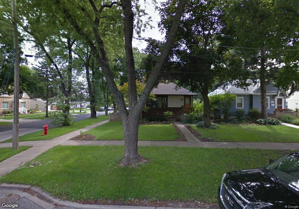
1463 Maple St Des Plaines, IL 60018
Estimated Value: $299,000 - $465,000
2
Beds
2
Baths
1,006
Sq Ft
$363/Sq Ft
Est. Value
About This Home
This home is located at 1463 Maple St, Des Plaines, IL 60018 and is currently estimated at $364,731, approximately $362 per square foot. 1463 Maple St is a home located in Cook County with nearby schools including Central Elementary School, Chippewa Middle School, and Maine West High School.
Ownership History
Date
Name
Owned For
Owner Type
Purchase Details
Closed on
Apr 3, 2019
Sold by
Polisky Jennifer
Bought by
Leichenko John S and Polisky Jennifer
Current Estimated Value
Purchase Details
Closed on
Feb 2, 2009
Sold by
Grossi Francine and Graben Edgar Auf Dem
Bought by
Polisky Jennifer
Home Financials for this Owner
Home Financials are based on the most recent Mortgage that was taken out on this home.
Original Mortgage
$239,000
Outstanding Balance
$148,532
Interest Rate
5.03%
Mortgage Type
Unknown
Estimated Equity
$216,199
Purchase Details
Closed on
Jun 26, 2000
Sold by
Spitzer Randall E
Bought by
Graben Edgar Auf Dem and Grossi Francine
Home Financials for this Owner
Home Financials are based on the most recent Mortgage that was taken out on this home.
Original Mortgage
$180,000
Interest Rate
8.15%
Create a Home Valuation Report for This Property
The Home Valuation Report is an in-depth analysis detailing your home's value as well as a comparison with similar homes in the area
Home Values in the Area
Average Home Value in this Area
Purchase History
| Date | Buyer | Sale Price | Title Company |
|---|---|---|---|
| Leichenko John S | -- | Attorney | |
| Polisky Jennifer | $279,000 | Attorneys Title Guaranty Fun | |
| Graben Edgar Auf Dem | $225,000 | -- |
Source: Public Records
Mortgage History
| Date | Status | Borrower | Loan Amount |
|---|---|---|---|
| Open | Polisky Jennifer | $239,000 | |
| Previous Owner | Graben Edgar Auf Dem | $180,000 |
Source: Public Records
Tax History
| Year | Tax Paid | Tax Assessment Tax Assessment Total Assessment is a certain percentage of the fair market value that is determined by local assessors to be the total taxable value of land and additions on the property. | Land | Improvement |
|---|---|---|---|---|
| 2025 | $4,830 | $30,000 | $6,932 | $23,068 |
| 2024 | $4,830 | $21,634 | $6,162 | $15,472 |
| 2023 | $4,686 | $21,634 | $6,162 | $15,472 |
| 2022 | $4,686 | $21,634 | $6,162 | $15,472 |
| 2021 | $4,392 | $17,618 | $5,006 | $12,612 |
| 2020 | $4,387 | $17,618 | $5,006 | $12,612 |
| 2019 | $4,345 | $19,576 | $5,006 | $14,570 |
| 2018 | $3,609 | $15,504 | $4,428 | $11,076 |
| 2017 | $4,078 | $17,255 | $4,428 | $12,827 |
| 2016 | $4,466 | $18,567 | $4,428 | $14,139 |
| 2015 | $3,589 | $14,494 | $3,851 | $10,643 |
| 2014 | $3,529 | $14,494 | $3,851 | $10,643 |
| 2013 | $3,424 | $14,494 | $3,851 | $10,643 |
Source: Public Records
Map
Nearby Homes
- 1700 E Forest Ave
- 1990 Berry Ln
- 1640 S River Rd
- 1509 Center St
- 1689 S Elm St
- 1630 Henry Ave
- 1445 Everett Ave
- 1638 Oakwood Ave
- 1649 Ashland Ave Unit 501
- 1524 Oakwood Ave
- 1551 Ashland Ave Unit 306
- 1600 E Thacker St Unit 513
- 1380 Oakwood Ave Unit 306
- 905 Center St Unit B208
- 1922 Fargo Ave
- 900 Center St Unit 3A
- 1080 Bogart St
- 2035 Fargo Ave
- 711 S River Rd Unit 617
- 711 S River Rd Unit 704
Your Personal Tour Guide
Ask me questions while you tour the home.