14632 Parker Branch Rd West Fork, AR 72774
Estimated Value: $189,000 - $250,000
2
Beds
1
Bath
1,056
Sq Ft
$213/Sq Ft
Est. Value
About This Home
This home is located at 14632 Parker Branch Rd, West Fork, AR 72774 and is currently estimated at $224,667, approximately $212 per square foot. 14632 Parker Branch Rd is a home located in Washington County with nearby schools including Greenland Middle School, Greenland Elementary School, and Greenland High School.
Ownership History
Date
Name
Owned For
Owner Type
Purchase Details
Closed on
Feb 2, 2011
Bought by
Corner Stone Bank
Current Estimated Value
Purchase Details
Closed on
Sep 4, 1996
Bought by
Harper Kirby Eugene
Purchase Details
Closed on
Aug 1, 1989
Bought by
Harper Kirby E and Judith Ann
Purchase Details
Closed on
Jan 1, 1985
Bought by
Oliver William and Oliver Jeanette
Create a Home Valuation Report for This Property
The Home Valuation Report is an in-depth analysis detailing your home's value as well as a comparison with similar homes in the area
Home Values in the Area
Average Home Value in this Area
Purchase History
| Date | Buyer | Sale Price | Title Company |
|---|---|---|---|
| Corner Stone Bank | -- | -- | |
| Harper Kirby Eugene | -- | -- | |
| Harper Kirby E | $26,000 | -- | |
| Oliver William | -- | -- |
Source: Public Records
Tax History Compared to Growth
Tax History
| Year | Tax Paid | Tax Assessment Tax Assessment Total Assessment is a certain percentage of the fair market value that is determined by local assessors to be the total taxable value of land and additions on the property. | Land | Improvement |
|---|---|---|---|---|
| 2025 | -- | $11,890 | $3,750 | $8,140 |
| 2024 | $40 | $11,890 | $3,750 | $8,140 |
| 2023 | $122 | $11,890 | $3,750 | $8,140 |
| 2022 | $405 | $7,830 | $2,670 | $5,160 |
| 2021 | $405 | $7,830 | $2,670 | $5,160 |
| 2020 | $405 | $7,830 | $2,670 | $5,160 |
| 2019 | $322 | $6,030 | $2,130 | $3,900 |
| 2018 | $322 | $6,030 | $2,130 | $3,900 |
| 2017 | $401 | $8,810 | $2,130 | $6,680 |
| 2016 | $446 | $8,810 | $2,130 | $6,680 |
| 2015 | $426 | $8,810 | $2,130 | $6,680 |
| 2014 | $392 | $7,620 | $1,330 | $6,290 |
Source: Public Records
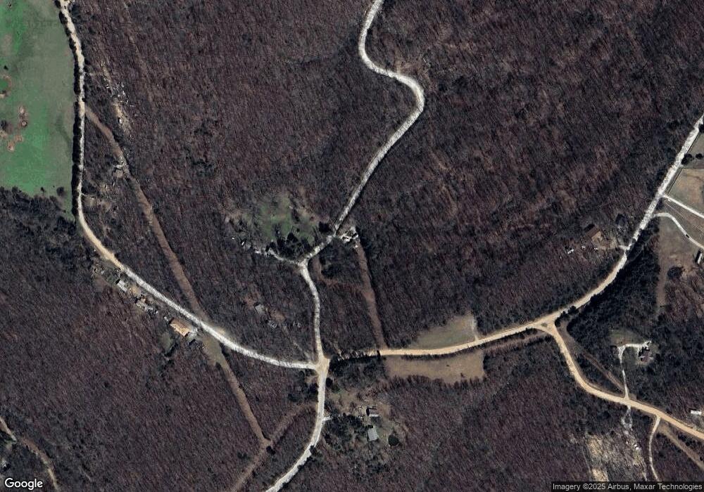
Map
Nearby Homes
- 14206 Parker Branch Rd
- 15500 Low Gap Rd
- 14710 Summer Shade Rd
- 14161 Low Gap Rd
- 163 Acres Low Gap Rd
- 15731 Parker Branch Rd
- TBD Truelove Rd
- 14642 Truelove Rd
- 14416 & 14425 Truelove Rd
- 12812 Parker Branch Rd
- 14211 Sugar Mountain Rd
- 16618 S Highway 71
- 16712 S Highway 71
- 13608 Sugar Mountain Rd
- 16801 S Highway 71
- 13590 Sugar Mountain Rd
- 14159 Low Gap Wc 100 Rd
- 13829 French Rd
- 16075 Chocolate Flats
- 14163 Low Gap Rd
- 14641 Parker Branch Rd
- 14512 Parker Branch Rd Wc 45 Rd
- 0 Low Gap Wc 100 Rd Unit 1247871
- 15966 Low Gap Wc 100 Rd
- 14734 Parker Branch Rd
- 15873 Low Gap Rd
- 15909 Low Gap Rd
- TBD Parker Branch Rd
- 15806 Low Gap Rd
- 16095 Low Gap Wc 100 Rd
- 14397 Parker Branch Rd
- 14811 Parker Branch Rd
- 16185 Low Gap Rd
- 14854 Parker Branch Rd
- 14857 Parker Branch Rd
- 16193 Low Gap Rd
- 16189 Low Gap Rd
- 14748 Summer Shade Rd
- 360 Acres Parker Branch Rd
- 14904 Parker Branch Rd