1464 Bucksnort Rd Jackson, GA 30233
Southwest Butts NeighborhoodEstimated Value: $426,000 - $517,000
Studio
3
Baths
2,252
Sq Ft
$213/Sq Ft
Est. Value
About This Home
This home is located at 1464 Bucksnort Rd, Jackson, GA 30233 and is currently estimated at $478,920, approximately $212 per square foot. 1464 Bucksnort Rd is a home located in Butts County with nearby schools including Jackson High School.
Ownership History
Date
Name
Owned For
Owner Type
Purchase Details
Closed on
Feb 20, 2024
Sold by
Letson Carol
Bought by
Price Jordan Renee and Price William Royce
Current Estimated Value
Purchase Details
Closed on
Feb 15, 2024
Sold by
Hindman William D
Bought by
Hindman Timothy Mark and Hindman William D
Purchase Details
Closed on
Apr 24, 2006
Sold by
Letson Reginald Steve
Bought by
Letson Reginald Steve
Create a Home Valuation Report for This Property
The Home Valuation Report is an in-depth analysis detailing your home's value as well as a comparison with similar homes in the area
Home Values in the Area
Average Home Value in this Area
Purchase History
| Date | Buyer | Sale Price | Title Company |
|---|---|---|---|
| Price Jordan Renee | $475,000 | -- | |
| Price Jordan Renee | $475,000 | -- | |
| Hindman Timothy Mark | -- | -- | |
| Letson Reginald Steve | -- | -- | |
| Letson Jane Waites | -- | -- |
Source: Public Records
Tax History
| Year | Tax Paid | Tax Assessment Tax Assessment Total Assessment is a certain percentage of the fair market value that is determined by local assessors to be the total taxable value of land and additions on the property. | Land | Improvement |
|---|---|---|---|---|
| 2025 | $3,368 | $190,143 | $49,706 | $140,437 |
| 2024 | $3,368 | $195,600 | $49,706 | $145,894 |
| 2023 | $4,757 | $211,723 | $37,708 | $174,015 |
| 2022 | $3,554 | $163,887 | $37,708 | $126,179 |
| 2021 | $3,728 | $161,300 | $37,708 | $123,592 |
| 2020 | $3,208 | $139,346 | $37,708 | $101,638 |
| 2019 | $3,141 | $140,770 | $37,708 | $103,062 |
| 2018 | $2,229 | $106,416 | $37,708 | $68,708 |
| 2017 | $2,667 | $119,308 | $37,708 | $81,600 |
| 2016 | $2,734 | $119,308 | $37,708 | $81,600 |
| 2015 | $2,564 | $119,308 | $37,708 | $81,600 |
| 2014 | $2,600 | $113,932 | $37,708 | $76,224 |
Source: Public Records
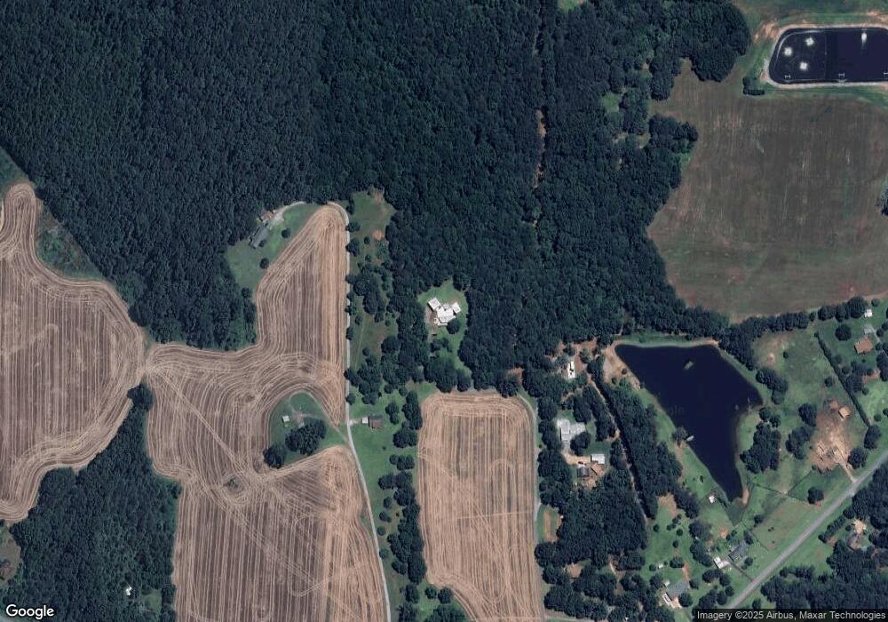
Map
Nearby Homes
- 856 Colwell Rd
- 240 Harkness Rd
- 309 High Falls Rd
- 0 White Tail Hills Dr Unit 10708295
- 106 Big Buck Ct
- 136 Turkey Trail
- 148 White Tail Hills Dr
- 261 Mcintosh Cir
- 262 Windy Ln
- 1388 Chappell Mill Rd
- 209 Windy Ln
- 1045 High Falls Rd
- 109 Tyler Way
- 117 Truman Ct
- 113 Truman Ct
- 137 Kennedy Blvd
- 139 Kennedy Blvd
- 138 Lewis Rd
- 6018 Jackson Rd
- 121 Magnolia Farms Dr
- 1478 Bucksnort Rd
- 1452 Bucksnort Rd
- 1480 Bucksnort Rd
- 872 Colwell Rd
- 1448 Bucksnort Rd
- 864 Colwell Rd
- 1512 Bucksnort Rd
- 1453 Bucksnort Rd
- 852 Colwell Rd
- 1424 Bucksnort Rd
- 1435 Bucksnort Rd
- 851 Colwell Rd
- 1538 Bucksnort Rd
- 802 Colwell Rd
- 839 Colwell Rd
- 1400 Bucksnort Rd
- 1539 Bucksnort Rd
- 1545 Bucksnort Rd
- 1548 Bucksnort Rd
- 1596 Bucksnort Rd
Your Personal Tour Guide
Ask me questions while you tour the home.