Estimated Value: $299,091 - $745,000
--
Bed
--
Bath
--
Sq Ft
6,229
Sq Ft Lot
About This Home
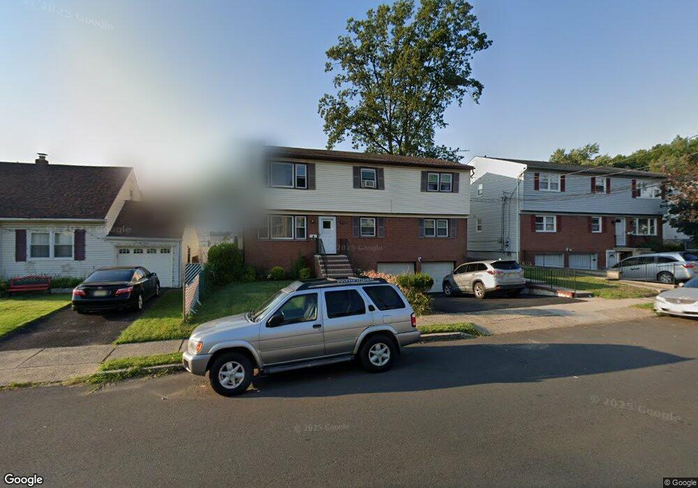
This home is located at 1464 Burnet Ave, Union, NJ 07083 and is currently estimated at $552,023. 1464 Burnet Ave is a home located in Union County with nearby schools including Union High School and St Michael Parish School.
Ownership History
Date
Name
Owned For
Owner Type
Purchase Details
Closed on
Nov 1, 2006
Sold by
Joseph Real
Bought by
Joseph Real and Joseph Josette
Current Estimated Value
Home Financials for this Owner
Home Financials are based on the most recent Mortgage that was taken out on this home.
Original Mortgage
$345,000
Outstanding Balance
$205,787
Interest Rate
6.36%
Mortgage Type
New Conventional
Estimated Equity
$346,236
Purchase Details
Closed on
Nov 29, 1999
Sold by
Kutenski Joan
Bought by
Joseph Real
Home Financials for this Owner
Home Financials are based on the most recent Mortgage that was taken out on this home.
Original Mortgage
$208,283
Interest Rate
7.86%
Mortgage Type
FHA
Purchase Details
Closed on
Sep 29, 1994
Sold by
Chiu Thomas and Chiu Suey
Bought by
Kutenski Joan
Create a Home Valuation Report for This Property
The Home Valuation Report is an in-depth analysis detailing your home's value as well as a comparison with similar homes in the area
Home Values in the Area
Average Home Value in this Area
Purchase History
| Date | Buyer | Sale Price | Title Company |
|---|---|---|---|
| Joseph Real | -- | None Available | |
| Joseph Real | $210,000 | Atlantic Title Agency Inc | |
| Kutenski Joan | $175,000 | -- |
Source: Public Records
Mortgage History
| Date | Status | Borrower | Loan Amount |
|---|---|---|---|
| Open | Joseph Real | $345,000 | |
| Closed | Joseph Real | $208,283 |
Source: Public Records
Tax History Compared to Growth
Tax History
| Year | Tax Paid | Tax Assessment Tax Assessment Total Assessment is a certain percentage of the fair market value that is determined by local assessors to be the total taxable value of land and additions on the property. | Land | Improvement |
|---|---|---|---|---|
| 2025 | $14,126 | $63,200 | $20,800 | $42,400 |
| 2024 | $13,695 | $63,200 | $20,800 | $42,400 |
| 2023 | $13,695 | $63,200 | $20,800 | $42,400 |
| 2022 | $13,219 | $63,200 | $20,800 | $42,400 |
| 2021 | $12,898 | $63,200 | $20,800 | $42,400 |
| 2020 | $12,641 | $63,200 | $20,800 | $42,400 |
| 2019 | $12,471 | $63,200 | $20,800 | $42,400 |
| 2018 | $12,259 | $63,200 | $20,800 | $42,400 |
| 2017 | $12,078 | $63,200 | $20,800 | $42,400 |
| 2016 | $11,783 | $63,200 | $20,800 | $42,400 |
| 2015 | $11,588 | $63,200 | $20,800 | $42,400 |
| 2014 | $11,328 | $63,200 | $20,800 | $42,400 |
Source: Public Records
Map
Nearby Homes
- 2269 Copper Hill Dr
- 2265 Copper Hill Dr
- 16 Hart Place
- 2 Hart Place
- 4 Sadie Cir Unit 4103
- 4 Sadie Cir Unit 4205
- 274 Indiana St
- 287 Ohio St
- 1707 Burnet Ave
- 289 Indiana St
- 297 Oswald Place
- 257 Hilton Ave
- 385 Stiles St
- 1208 Francyne Way
- 2510 Crane Place
- 1163 Burnet Ave
- 1239 Rony Rd
- 2140 Springfield Ave
- 2253 Vauxhall Rd
- 1164 Commerce Ave