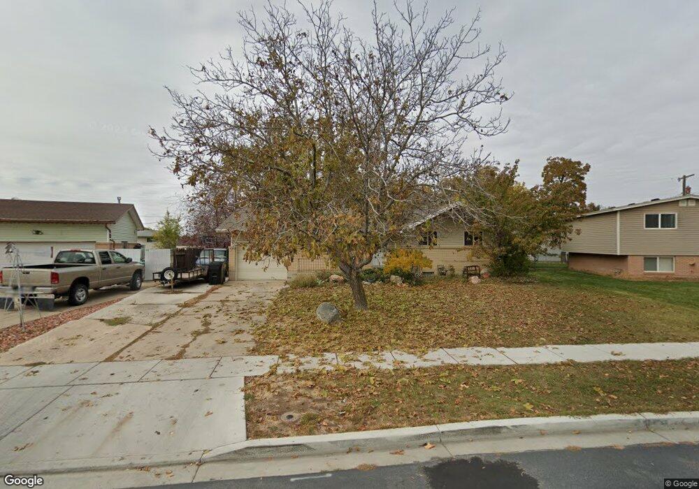
1464 S Melanie Ln Syracuse, UT 84075
Estimated Value: $406,000 - $437,000
5
Beds
2
Baths
2,000
Sq Ft
$213/Sq Ft
Est. Value
About This Home
This home is located at 1464 S Melanie Ln, Syracuse, UT 84075 and is currently estimated at $425,574, approximately $212 per square foot. 1464 S Melanie Ln is a home located in Davis County with nearby schools including Cook School, Syracuse Junior High School, and Syracuse High School.
Ownership History
Date
Name
Owned For
Owner Type
Purchase Details
Closed on
Jun 21, 2021
Sold by
Andre Todd J
Bought by
Andre Rental Homes Llc
Current Estimated Value
Purchase Details
Closed on
Mar 5, 2020
Sold by
Andre Todd
Bought by
Andre Todd J
Home Financials for this Owner
Home Financials are based on the most recent Mortgage that was taken out on this home.
Original Mortgage
$155,000
Interest Rate
3.6%
Mortgage Type
New Conventional
Purchase Details
Closed on
Nov 23, 2011
Sold by
Fisher S Camille and Fisher Martin J
Bought by
Andre Todd
Home Financials for this Owner
Home Financials are based on the most recent Mortgage that was taken out on this home.
Original Mortgage
$118,000
Interest Rate
4.09%
Mortgage Type
New Conventional
Purchase Details
Closed on
May 27, 2003
Sold by
Fisher Martin J and Fisher Susan C
Bought by
Fisher S Camille and Fisher Martin J
Create a Home Valuation Report for This Property
The Home Valuation Report is an in-depth analysis detailing your home's value as well as a comparison with similar homes in the area
Home Values in the Area
Average Home Value in this Area
Purchase History
| Date | Buyer | Sale Price | Title Company |
|---|---|---|---|
| Andre Rental Homes Llc | -- | None Available | |
| Andre Todd J | -- | Metro Natl Title | |
| Andre Todd | -- | Bonneville Superior Tit | |
| Fisher S Camille | -- | -- |
Source: Public Records
Mortgage History
| Date | Status | Borrower | Loan Amount |
|---|---|---|---|
| Previous Owner | Andre Todd J | $155,000 | |
| Previous Owner | Andre Todd | $118,000 |
Source: Public Records
Tax History Compared to Growth
Tax History
| Year | Tax Paid | Tax Assessment Tax Assessment Total Assessment is a certain percentage of the fair market value that is determined by local assessors to be the total taxable value of land and additions on the property. | Land | Improvement |
|---|---|---|---|---|
| 2025 | $2,235 | $215,600 | $123,707 | $91,893 |
| 2024 | $2,157 | $209,549 | $101,129 | $108,420 |
| 2023 | $2,028 | $197,450 | $77,537 | $119,912 |
| 2022 | $2,154 | $380,000 | $147,845 | $232,155 |
| 2021 | $2,011 | $302,000 | $120,031 | $181,969 |
| 2020 | $1,760 | $256,000 | $105,154 | $150,846 |
| 2019 | $1,595 | $229,000 | $102,057 | $126,943 |
| 2018 | $1,404 | $200,000 | $98,955 | $101,045 |
| 2016 | $1,184 | $88,495 | $38,008 | $50,487 |
| 2015 | $1,149 | $81,785 | $38,008 | $43,777 |
| 2014 | $1,116 | $80,925 | $38,008 | $42,917 |
| 2013 | -- | $73,509 | $28,435 | $45,074 |
Source: Public Records
Map
Nearby Homes
- 1481 S Melanie Ln
- 1384 S Melanie Ln
- 1413 S David St
- 1656 Marilyn Dr
- 1327 S 1650 W
- 1466 Earl Cir
- 1251 S 1650 W
- 1240 S 1575 W
- 1158 S 1375 W
- 1154 W 1700 S
- 1166 Dallas St
- 1385 S 1100 W
- 1242 S 1700 W
- 1622 S 1000 W
- 1153 W 1875 S
- Everglade Plan at Wilcox Farms
- Echo Plan at Wilcox Farms
- Granite Plan at Wilcox Farms
- 1553 S 900 W
- 1553 S 900 W Unit 139
- 1450 S Melanie Ln
- 1478 S Melanie Ln
- 1459 Marilyn Dr
- 1479 Marilyn Dr
- 1449 Marilyn Dr
- 1436 S Melanie Ln
- 1492 S Melanie Ln
- 1461 S Melanie Ln
- 1439 Marilyn Dr
- 1495 Marilyn Dr
- 1495 Marilyn Dr
- 1424 S Melanie Ln
- 1429 Marilyn Dr
- 1506 S Melanie Ln
- 1499 S Melanie Ln
- 1452 S 1350 W
- 1511 Marilyn Dr
- 1452 Stoker Ln
- 1410 S Melanie Ln
- 1472 Marilyn Dr