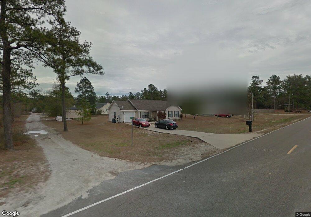
1464 Shaw Hwy Rocky Point, NC 28457
Estimated Value: $158,000 - $277,000
3
Beds
2
Baths
1,137
Sq Ft
$169/Sq Ft
Est. Value
About This Home
This home is located at 1464 Shaw Hwy, Rocky Point, NC 28457 and is currently estimated at $191,943, approximately $168 per square foot. 1464 Shaw Hwy is a home located in Pender County with nearby schools including Rocky Point Elementary School, Cape Fear Middle School, and Heide Trask High School.
Ownership History
Date
Name
Owned For
Owner Type
Purchase Details
Closed on
Mar 6, 2025
Sold by
Moore Jeffrey T
Bought by
Fresia Brandon
Current Estimated Value
Home Financials for this Owner
Home Financials are based on the most recent Mortgage that was taken out on this home.
Original Mortgage
$149,786
Interest Rate
6.62%
Mortgage Type
FHA
Purchase Details
Closed on
Feb 26, 2008
Sold by
Carolina Granite Construction Inc
Bought by
Moore Virginia S and Moore Jeffrey T
Home Financials for this Owner
Home Financials are based on the most recent Mortgage that was taken out on this home.
Original Mortgage
$153,000
Interest Rate
5.65%
Mortgage Type
New Conventional
Create a Home Valuation Report for This Property
The Home Valuation Report is an in-depth analysis detailing your home's value as well as a comparison with similar homes in the area
Home Values in the Area
Average Home Value in this Area
Purchase History
| Date | Buyer | Sale Price | Title Company |
|---|---|---|---|
| Fresia Brandon | $165,000 | None Listed On Document | |
| Fresia Brandon | $165,000 | None Listed On Document | |
| Moore Virginia S | $153,000 | -- |
Source: Public Records
Mortgage History
| Date | Status | Borrower | Loan Amount |
|---|---|---|---|
| Previous Owner | Fresia Brandon | $149,786 | |
| Previous Owner | Moore Virginia S | $153,000 |
Source: Public Records
Tax History Compared to Growth
Tax History
| Year | Tax Paid | Tax Assessment Tax Assessment Total Assessment is a certain percentage of the fair market value that is determined by local assessors to be the total taxable value of land and additions on the property. | Land | Improvement |
|---|---|---|---|---|
| 2024 | $1,538 | $143,818 | $32,750 | $111,068 |
| 2023 | $1,538 | $143,818 | $32,750 | $111,068 |
| 2022 | $1,314 | $143,818 | $32,750 | $111,068 |
| 2021 | $1,314 | $143,818 | $32,750 | $111,068 |
| 2020 | $1,297 | $143,818 | $32,750 | $111,068 |
| 2019 | $1,297 | $143,818 | $32,750 | $111,068 |
| 2018 | $1,149 | $107,410 | $13,000 | $94,410 |
| 2017 | $1,149 | $107,410 | $13,000 | $94,410 |
| 2016 | $1,138 | $107,410 | $13,000 | $94,410 |
| 2015 | $1,103 | $107,410 | $13,000 | $94,410 |
| 2014 | $881 | $107,410 | $13,000 | $94,410 |
| 2013 | -- | $107,410 | $13,000 | $94,410 |
| 2012 | -- | $104,160 | $9,750 | $94,410 |
Source: Public Records
Map
Nearby Homes
- 293 Talbert Dr
- 257 Talbert Dr
- 274 Talbert Dr
- 163 Talbert Dr
- 125 Talbert Dr
- 71 Talbert Dr
- 151 Talbert Dr
- 214 Talbert Dr
- 74 Talbert Dr
- 94 Talbert Dr
- 116 Talbert Dr
- 52 Talbert Dr
- 200 Bumpy Ln
- 50 S Lord Wallace Ct
- 0 Canal Rd
- 65 Amos Ct
- 70 Little Pond Rd
- 9348 Nc Highway 210
- 312 Riva Ridge
- 200 E T Batson Rd