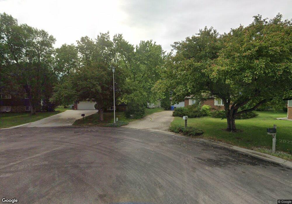
1464 W Gateway Cir S Fargo, ND 58103
Westgate NeighborhoodEstimated Value: $354,000 - $401,043
5
Beds
3
Baths
2,816
Sq Ft
$133/Sq Ft
Est. Value
About This Home
This home is located at 1464 W Gateway Cir S, Fargo, ND 58103 and is currently estimated at $373,761, approximately $132 per square foot. 1464 W Gateway Cir S is a home located in Cass County with nearby schools including Lewis & Clark Elementary School, Carl Ben Eielson Middle School, and South High School.
Ownership History
Date
Name
Owned For
Owner Type
Purchase Details
Closed on
Nov 7, 2018
Sold by
Modin Michelle and Slagle Anthony
Bought by
Palazzo Anthony M
Current Estimated Value
Home Financials for this Owner
Home Financials are based on the most recent Mortgage that was taken out on this home.
Original Mortgage
$178,500
Outstanding Balance
$156,634
Interest Rate
4.7%
Mortgage Type
New Conventional
Estimated Equity
$217,127
Purchase Details
Closed on
Aug 18, 2011
Sold by
Olson Thomas L and Olson Karen A
Bought by
Modin Michelle and Slagle Anthony
Home Financials for this Owner
Home Financials are based on the most recent Mortgage that was taken out on this home.
Original Mortgage
$160,110
Interest Rate
4.64%
Mortgage Type
New Conventional
Create a Home Valuation Report for This Property
The Home Valuation Report is an in-depth analysis detailing your home's value as well as a comparison with similar homes in the area
Home Values in the Area
Average Home Value in this Area
Purchase History
| Date | Buyer | Sale Price | Title Company |
|---|---|---|---|
| Palazzo Anthony M | $238,000 | Regency Title | |
| Modin Michelle | -- | None Available |
Source: Public Records
Mortgage History
| Date | Status | Borrower | Loan Amount |
|---|---|---|---|
| Open | Palazzo Anthony M | $178,500 | |
| Previous Owner | Modin Michelle | $160,110 |
Source: Public Records
Tax History Compared to Growth
Tax History
| Year | Tax Paid | Tax Assessment Tax Assessment Total Assessment is a certain percentage of the fair market value that is determined by local assessors to be the total taxable value of land and additions on the property. | Land | Improvement |
|---|---|---|---|---|
| 2024 | $5,127 | $178,350 | $50,250 | $128,100 |
| 2023 | $4,481 | $155,100 | $50,250 | $104,850 |
| 2022 | $4,533 | $155,100 | $50,250 | $104,850 |
| 2021 | $4,108 | $142,050 | $52,750 | $89,300 |
| 2020 | $3,950 | $137,900 | $52,750 | $85,150 |
| 2019 | $3,953 | $137,900 | $32,950 | $104,950 |
| 2018 | $3,906 | $137,900 | $32,950 | $104,950 |
| 2017 | $3,699 | $131,350 | $32,950 | $98,400 |
| 2016 | $3,275 | $127,500 | $32,950 | $94,550 |
| 2015 | $2,815 | $101,250 | $22,400 | $78,850 |
| 2014 | $2,674 | $93,250 | $22,400 | $70,850 |
| 2013 | $2,677 | $93,250 | $22,400 | $70,850 |
Source: Public Records
Map
Nearby Homes
- 2867 Westgate Dr S
- 1402 E Gateway Cir S Unit M
- 3305 15th Ave S Unit B
- 3311 15th Ave S Unit E
- 3249 16th Ave S Unit 4
- 21 Birch Ln S
- 3237 17th Ave S Unit 101
- 3253 17th Ave S Unit 101
- 3253 17th Ave S Unit 102
- 2402 N Flickertail Dr S Unit 1
- 3420 17th Ave S Unit A
- 2202 15th Ave S
- 3325 W Prairiewood Dr S
- 1129 22nd St S Unit B09
- 1129 22nd St S Unit B12
- 2013 13th Ave S
- 1737 Park Blvd S
- 1407 17th St S
- 2326 20th Ave S Unit 9
- 2320 20th Ave S Unit 7
- 1470 W Gateway Cir S
- 1458 W Gateway Cir S
- 1434 W Gateway Cir S
- 2855 Westgate Dr S
- 1440 W Gateway Cir S
- 2849 Westgate Dr S
- 2861 Westgate Dr S
- 1476 W Gateway Cir S
- 2843 Westgate Dr S
- 1452 W Gateway Cir S
- 1446 W Gateway Cir S
- 1428 W Gateway Cir S
- 2837 Westgate Dr S
- 1482 W Gateway Cir S
- 2873 Westgate Dr S
- 2831 Westgate Dr S
- 1422 W Gateway Cir S
- 1422 W Gateway Cir S
- 2868 Westgate Dr S
- 2825 Westgate Dr S