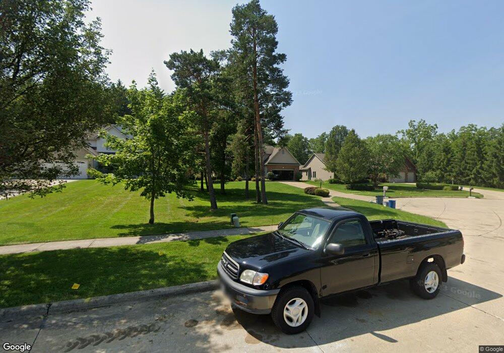
14641 Walking Stick Way Strongsville, OH 44136
Estimated Value: $508,000 - $607,000
4
Beds
4
Baths
2,808
Sq Ft
$195/Sq Ft
Est. Value
About This Home
This home is located at 14641 Walking Stick Way, Strongsville, OH 44136 and is currently estimated at $548,053, approximately $195 per square foot. 14641 Walking Stick Way is a home located in Cuyahoga County with nearby schools including Strongsville High School, Royal Redeemer Lutheran School, and Sts Joseph & John Interparochial School.
Ownership History
Date
Name
Owned For
Owner Type
Purchase Details
Closed on
Dec 6, 2016
Sold by
Papineau Arthur
Bought by
Papineau Michelle and Papineau Michelle A
Current Estimated Value
Home Financials for this Owner
Home Financials are based on the most recent Mortgage that was taken out on this home.
Original Mortgage
$243,000
Interest Rate
3.47%
Mortgage Type
New Conventional
Purchase Details
Closed on
Sep 19, 2016
Sold by
Papineau Arthur
Bought by
Papineau Michelle A
Purchase Details
Closed on
Jul 13, 2006
Sold by
New Century Builders Inc
Bought by
Papineau Arthur B and Papineau Michelle A
Home Financials for this Owner
Home Financials are based on the most recent Mortgage that was taken out on this home.
Original Mortgage
$288,500
Interest Rate
6.72%
Mortgage Type
Purchase Money Mortgage
Create a Home Valuation Report for This Property
The Home Valuation Report is an in-depth analysis detailing your home's value as well as a comparison with similar homes in the area
Home Values in the Area
Average Home Value in this Area
Purchase History
| Date | Buyer | Sale Price | Title Company |
|---|---|---|---|
| Papineau Michelle | -- | Northstar Title Services Llc | |
| Papineau Michelle A | -- | Attorney | |
| Papineau Arthur B | $320,795 | First American Title Ins Co |
Source: Public Records
Mortgage History
| Date | Status | Borrower | Loan Amount |
|---|---|---|---|
| Closed | Papineau Michelle | $243,000 | |
| Closed | Papineau Arthur B | $288,500 |
Source: Public Records
Tax History Compared to Growth
Tax History
| Year | Tax Paid | Tax Assessment Tax Assessment Total Assessment is a certain percentage of the fair market value that is determined by local assessors to be the total taxable value of land and additions on the property. | Land | Improvement |
|---|---|---|---|---|
| 2024 | $7,546 | $160,720 | $29,435 | $131,285 |
| 2023 | $7,666 | $122,430 | $39,480 | $82,950 |
| 2022 | $7,610 | $122,430 | $39,480 | $82,950 |
| 2021 | $7,550 | $122,430 | $39,480 | $82,950 |
| 2020 | $8,051 | $115,500 | $37,240 | $78,260 |
| 2019 | $7,815 | $330,000 | $106,400 | $223,600 |
| 2018 | $7,074 | $115,500 | $37,240 | $78,260 |
| 2017 | $7,186 | $108,330 | $27,720 | $80,610 |
| 2016 | $7,128 | $108,330 | $27,720 | $80,610 |
| 2015 | $7,055 | $108,330 | $27,720 | $80,610 |
| 2014 | $7,229 | $108,330 | $27,720 | $80,610 |
Source: Public Records
Map
Nearby Homes
- 14558 Drake Rd
- 14132 Walking Stick Way
- 18987 Laurell Cir
- 18229 Howe Rd
- 14985 Camden Cir
- 13448 Compass Point Dr
- 17130 Golden Star Dr
- 14292 Trenton Ave
- 19252 Hidden Woods Ln
- 13335 Tradewinds Dr
- 19297 Hunt Rd
- 19813 Cross Trail S
- 19694 Benbow Rd
- 15188 Trails Landing
- 19740 Benbow Rd
- 15604-REAR Boston Rd
- 15772 Boston Rd
- 16650 Lanier Ave
- 3137 Blackburn Ln
- 16711 Beech Cir
- 14663 Walking Stick Way
- 14619 Walking Stick Way
- 14577 Walking Stick Way
- 18118 W Bend Dr
- 18080 W Bend Dr
- 18156 W Bend Dr
- 18069 Hunt Rd
- 18042 W Bend Dr
- 18115 Hunt Rd
- 18194 W Bend Dr
- 14658 Walking Stick Way
- 14614 Walking Stick Way
- 18159 Hunt Rd
- 18205 Hunt Rd
- 18232 W Bend Dr
- 18061 Hunt Rd
- 14572 Walking Stick Way
- 14550 Walking Stick Way
- 18270 W Bend Dr
- 18015 Hunt Rd
