14644 Stone Range Dr Centreville, VA 20120
Estimated Value: $526,938 - $557,000
3
Beds
4
Baths
1,320
Sq Ft
$407/Sq Ft
Est. Value
About This Home
This home is located at 14644 Stone Range Dr, Centreville, VA 20120 and is currently estimated at $537,735, approximately $407 per square foot. 14644 Stone Range Dr is a home located in Fairfax County with nearby schools including Deer Park Elementary School, Ormond Stone Middle School, and Westfield High School.
Ownership History
Date
Name
Owned For
Owner Type
Purchase Details
Closed on
Sep 14, 2004
Sold by
Lin William Wei
Bought by
Smith Rodney E
Current Estimated Value
Home Financials for this Owner
Home Financials are based on the most recent Mortgage that was taken out on this home.
Original Mortgage
$305,000
Outstanding Balance
$152,514
Interest Rate
6.02%
Mortgage Type
New Conventional
Estimated Equity
$385,221
Create a Home Valuation Report for This Property
The Home Valuation Report is an in-depth analysis detailing your home's value as well as a comparison with similar homes in the area
Home Values in the Area
Average Home Value in this Area
Purchase History
| Date | Buyer | Sale Price | Title Company |
|---|---|---|---|
| Smith Rodney E | $305,000 | -- |
Source: Public Records
Mortgage History
| Date | Status | Borrower | Loan Amount |
|---|---|---|---|
| Open | Smith Rodney E | $305,000 |
Source: Public Records
Tax History Compared to Growth
Tax History
| Year | Tax Paid | Tax Assessment Tax Assessment Total Assessment is a certain percentage of the fair market value that is determined by local assessors to be the total taxable value of land and additions on the property. | Land | Improvement |
|---|---|---|---|---|
| 2025 | $5,230 | $478,400 | $150,000 | $328,400 |
| 2024 | $5,230 | $451,440 | $130,000 | $321,440 |
| 2023 | $4,776 | $423,250 | $130,000 | $293,250 |
| 2022 | $4,719 | $412,680 | $130,000 | $282,680 |
| 2021 | $4,496 | $383,120 | $115,000 | $268,120 |
| 2020 | $4,338 | $366,560 | $100,000 | $266,560 |
| 2019 | $4,105 | $346,890 | $90,000 | $256,890 |
| 2018 | $3,767 | $327,580 | $85,000 | $242,580 |
| 2017 | $3,630 | $312,640 | $84,000 | $228,640 |
| 2016 | $3,547 | $306,160 | $82,000 | $224,160 |
| 2015 | $3,345 | $299,760 | $80,000 | $219,760 |
| 2014 | $3,338 | $299,760 | $80,000 | $219,760 |
Source: Public Records
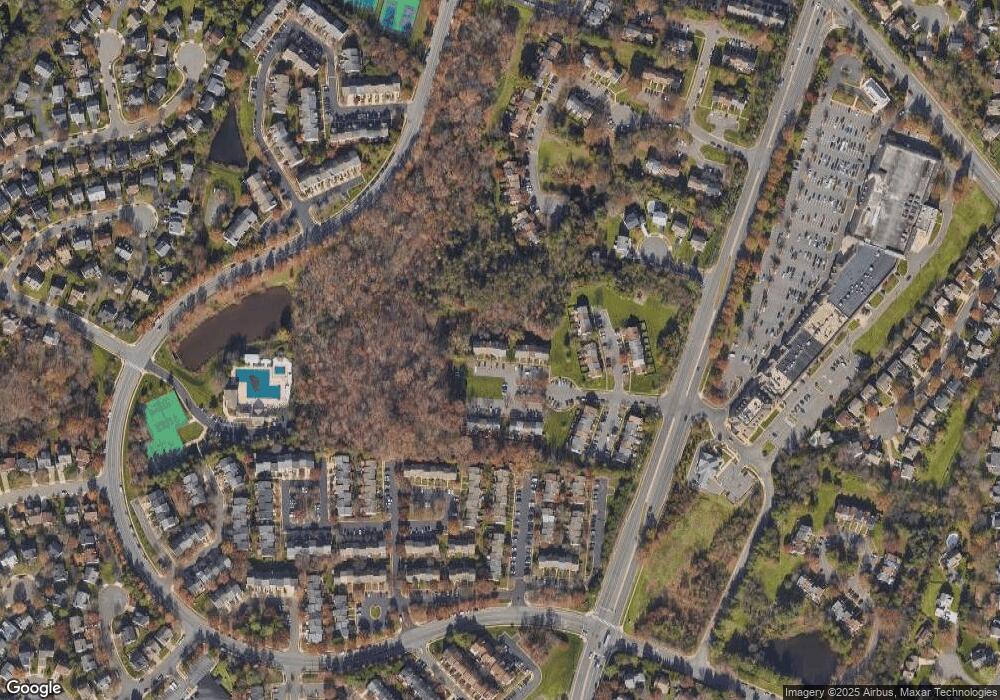
Map
Nearby Homes
- 14600 Stone Range Dr
- 5705 Croatan Ct
- 14617 Woodspring Ct
- 14719 Winterfield Ct
- 5570 Village Center Dr
- 14708 Stone Creek Ct
- 14621 Stream Pond Dr
- 5834 Stone Ridge Dr
- 14714 Cranoke St
- 14669 Battery Ridge Ln
- 5515 Buggy Whip Dr
- 14700 Cranoke St
- 14646 Olde Kent Rd
- 14816 Lynhodge Ct
- 5213 Knoughton Way
- 14722 Braddock Rd
- 5707 Ottawa Rd
- 5986 Manorwood Dr
- 14812 Smethwick Place
- 6018 Regents Park Rd
- 14646 Stone Range Dr
- 14642 Stone Range Dr
- 14648 Stone Range Dr
- 14650 Stone Range Dr
- 14640 Stone Range Dr
- 14638 Stone Range Dr
- 14636 Stone Range Dr
- 14634 Stone Range Dr
- 14632 Stone Range Dr
- 14641 Stone Range Dr
- 14639 Stone Range Dr
- 14643 Stone Range Dr
- 14645 Stone Range Dr
- 14637 Stone Range Dr
- 14647 Stone Range Dr
- 14635 Stone Range Dr
- 14633 Stone Range Dr
- 14618 Stone Range Dr
- 14620 Stone Range Dr
- 14631 Stone Range Dr