Estimated Value: $921,784
Studio
--
Bath
16,180
Sq Ft
$57/Sq Ft
Est. Value
About This Home
This home is located at 14646 Watson Rd, Pekin, IL 61554 and is currently estimated at $921,784, approximately $56 per square foot. 14646 Watson Rd is a home located in Tazewell County with nearby schools including Tremont Elementary School, Tremont Middle School, and Tremont High School.
Ownership History
Date
Name
Owned For
Owner Type
Purchase Details
Closed on
Jul 8, 2008
Sold by
S M E
Bought by
Manufacturing Maintenance Solutions Inc
Current Estimated Value
Home Financials for this Owner
Home Financials are based on the most recent Mortgage that was taken out on this home.
Original Mortgage
$410,000
Outstanding Balance
$92,242
Interest Rate
6.1%
Mortgage Type
Commercial
Estimated Equity
$829,542
Create a Home Valuation Report for This Property
The Home Valuation Report is an in-depth analysis detailing your home's value as well as a comparison with similar homes in the area
Purchase History
| Date | Buyer | Sale Price | Title Company |
|---|---|---|---|
| Manufacturing Maintenance Solutions Inc | $600,000 | None Available |
Source: Public Records
Mortgage History
| Date | Status | Borrower | Loan Amount |
|---|---|---|---|
| Open | Manufacturing Maintenance Solutions Inc | $410,000 |
Source: Public Records
Tax History
| Year | Tax Paid | Tax Assessment Tax Assessment Total Assessment is a certain percentage of the fair market value that is determined by local assessors to be the total taxable value of land and additions on the property. | Land | Improvement |
|---|---|---|---|---|
| 2024 | $12,970 | $200,550 | $40,760 | $159,790 |
| 2023 | $12,970 | $184,120 | $37,420 | $146,700 |
| 2022 | $12,601 | $171,420 | $34,840 | $136,580 |
| 2021 | $12,256 | $164,830 | $33,500 | $131,330 |
| 2020 | $12,116 | $161,590 | $32,840 | $128,750 |
| 2019 | $12,126 | $161,590 | $32,840 | $128,750 |
| 2018 | $11,917 | $161,590 | $32,840 | $128,750 |
| 2017 | $11,715 | $158,410 | $32,190 | $126,220 |
| 2016 | $11,558 | $158,410 | $32,190 | $126,220 |
| 2015 | $11,264 | $0 | $0 | $0 |
| 2013 | $11,113 | $158,410 | $32,190 | $126,220 |
Source: Public Records
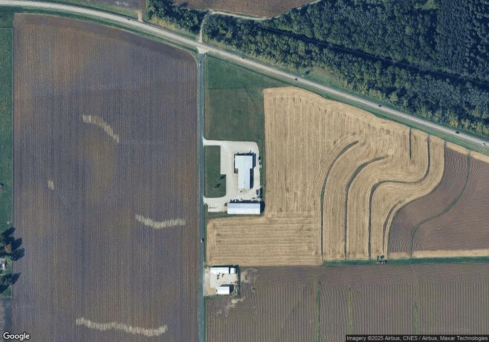
Map
Nearby Homes
- 116 Lost Creek Ct
- 201 Royal Point Ct
- 106 Royal Point Ct
- 107 Lost Creek Ct
- 105 Royal Point Ct
- 1920 - 1922 Mayflower Dr
- 1960-1962 Mayflower Dr
- 1960 Mayflower Dr
- 21184 Allentown Rd
- 16810 Springfield Rd
- 417 N Toepfer St
- 313 W South St
- 4507 Greenlawn Ct
- 2841 Allentown Rd
- 0 Gunion Ave
- 357 Bessler Lake Dr
- 104 Thrush Ave
- 303 Powers Ave
- 100 Thrush Ave
- 111 Pin Oak Dr
- 14646 County Road 2050 E
- 14646 County Road 2050 E
- 20237 State Route 9
- 20231 State Route 9
- 14364 Watson Rd
- 14364 Watson Rd
- 14157 Watson Rd
- 20176 State Route 9
- 14664 Springfield Rd
- 19871 State Route 9
- 14600 Springfield Rd
- 20022 State Route 9
- 20100 State Route 9
- 14558 Springfield Rd
- 19764 Illinois Route 9
- 19764 Il Route 9
- 115 Cape Ann Ct
- 19720 State Route 9
- 19720 State Route 9
- 117 Cape Ann Ct
Your Personal Tour Guide
Ask me questions while you tour the home.