1465 1st St Unit FIRST Adrian, MI 49221
Estimated Value: $223,000 - $269,786
3
Beds
3
Baths
1,471
Sq Ft
$165/Sq Ft
Est. Value
About This Home
This home is located at 1465 1st St Unit FIRST, Adrian, MI 49221 and is currently estimated at $242,929, approximately $165 per square foot. 1465 1st St Unit FIRST is a home located in Lenawee County with nearby schools including Adrian High School, St. Joseph Academy, and St. Joseph's Academy.
Ownership History
Date
Name
Owned For
Owner Type
Purchase Details
Closed on
Jan 10, 2014
Sold by
Pnc Bank Na
Bought by
Clair Ii Richard St
Current Estimated Value
Home Financials for this Owner
Home Financials are based on the most recent Mortgage that was taken out on this home.
Original Mortgage
$74,000
Outstanding Balance
$56,080
Interest Rate
4.49%
Mortgage Type
New Conventional
Estimated Equity
$186,849
Purchase Details
Closed on
Dec 6, 2012
Sold by
Nieto Gilbert and Nieto Brooke L
Bought by
Pnc Bank Na
Create a Home Valuation Report for This Property
The Home Valuation Report is an in-depth analysis detailing your home's value as well as a comparison with similar homes in the area
Home Values in the Area
Average Home Value in this Area
Purchase History
| Date | Buyer | Sale Price | Title Company |
|---|---|---|---|
| Clair Ii Richard St | $74,000 | None Available | |
| Pnc Bank Na | $152,012 | None Available |
Source: Public Records
Mortgage History
| Date | Status | Borrower | Loan Amount |
|---|---|---|---|
| Open | Clair Ii Richard St | $74,000 |
Source: Public Records
Tax History Compared to Growth
Tax History
| Year | Tax Paid | Tax Assessment Tax Assessment Total Assessment is a certain percentage of the fair market value that is determined by local assessors to be the total taxable value of land and additions on the property. | Land | Improvement |
|---|---|---|---|---|
| 2025 | $2,937 | $100,200 | $0 | $0 |
| 2024 | $1,330 | $99,100 | $0 | $0 |
| 2023 | $2,415 | $95,600 | $0 | $0 |
| 2022 | $1,239 | $85,600 | $0 | $0 |
| 2021 | $2,776 | $77,600 | $0 | $0 |
| 2020 | $2,775 | $70,400 | $0 | $0 |
| 2019 | $186,327 | $66,900 | $0 | $0 |
| 2018 | $2,163 | $66,929 | $0 | $0 |
| 2017 | $1,814 | $64,649 | $0 | $0 |
| 2016 | $1,796 | $62,082 | $0 | $0 |
| 2014 | -- | $60,092 | $0 | $0 |
Source: Public Records
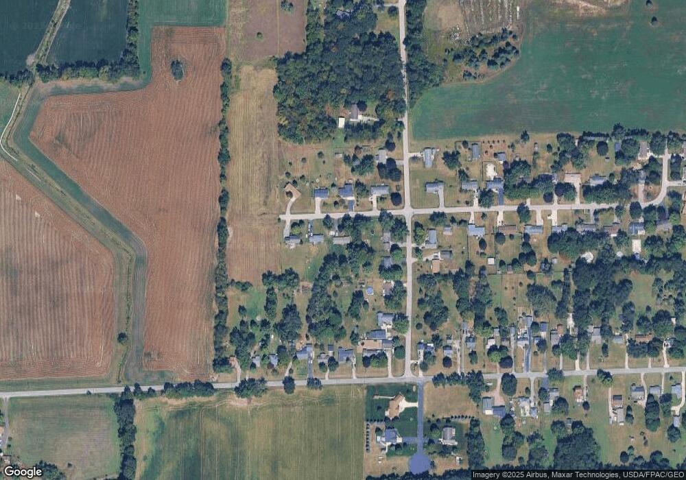
Map
Nearby Homes
- 1000 E 1st St
- 3852 Tanner Marie Dr
- 1010 W Valley Rd
- 4623 N Adrian Hwy
- 3311 N Adrian Hwy
- 3283 Birch Run S
- 4126 Mckenna Dr
- 3185 Pender Ct
- 3129 Beaver Creek Ridge
- 2306 Woodlawn Ln
- 3057 Beaver Creek Dr
- 3245 Brookview Ct
- 2263 Sutton Rd
- 2835 Carson Hwy
- 5679 Catawba Dr
- 41 Bailey Dr
- 3000 Breckel Hwy
- 4571 N Adrian Hwy
- 3264 N Adrian Hwy
- 4705 Robin Hood Trail