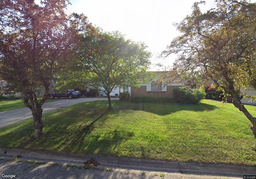
1465 Lonsdale Rd Columbus, OH 43232
Shady Lane NeighborhoodEstimated Value: $269,860 - $320,000
4
Beds
3
Baths
1,726
Sq Ft
$172/Sq Ft
Est. Value
About This Home
This home is located at 1465 Lonsdale Rd, Columbus, OH 43232 and is currently estimated at $297,465, approximately $172 per square foot. 1465 Lonsdale Rd is a home located in Franklin County with nearby schools including Woodcrest Elementary School, Sherwood Middle School, and Walnut Ridge High School.
Ownership History
Date
Name
Owned For
Owner Type
Purchase Details
Closed on
Oct 30, 2007
Sold by
Starr Kenneth H and Starr Kathryn J
Bought by
Federowicz Edmund A and Federowicz Hilary E
Current Estimated Value
Home Financials for this Owner
Home Financials are based on the most recent Mortgage that was taken out on this home.
Original Mortgage
$121,600
Outstanding Balance
$21,858
Interest Rate
6.45%
Mortgage Type
Purchase Money Mortgage
Estimated Equity
$275,607
Purchase Details
Closed on
Sep 21, 1999
Sold by
Starr Kathryn J and Starr Kenneth H
Bought by
Starr Kenneth H and Starr Kathryn J
Purchase Details
Closed on
Jun 15, 1982
Bought by
Starr Kathryn J
Purchase Details
Closed on
Apr 1, 1978
Create a Home Valuation Report for This Property
The Home Valuation Report is an in-depth analysis detailing your home's value as well as a comparison with similar homes in the area
Home Values in the Area
Average Home Value in this Area
Purchase History
| Date | Buyer | Sale Price | Title Company |
|---|---|---|---|
| Federowicz Edmund A | $152,000 | Stewart Tit | |
| Starr Kenneth H | -- | -- | |
| Starr Kathryn J | -- | -- | |
| -- | $59,000 | -- |
Source: Public Records
Mortgage History
| Date | Status | Borrower | Loan Amount |
|---|---|---|---|
| Open | Federowicz Edmund A | $121,600 |
Source: Public Records
Tax History Compared to Growth
Tax History
| Year | Tax Paid | Tax Assessment Tax Assessment Total Assessment is a certain percentage of the fair market value that is determined by local assessors to be the total taxable value of land and additions on the property. | Land | Improvement |
|---|---|---|---|---|
| 2024 | $3,816 | $85,020 | $16,380 | $68,640 |
| 2023 | $3,767 | $85,015 | $16,380 | $68,635 |
| 2022 | $2,777 | $53,550 | $7,630 | $45,920 |
| 2021 | $2,782 | $53,550 | $7,630 | $45,920 |
| 2020 | $2,786 | $53,550 | $7,630 | $45,920 |
| 2019 | $2,606 | $42,950 | $6,130 | $36,820 |
| 2018 | $2,427 | $42,950 | $6,130 | $36,820 |
| 2017 | $2,544 | $42,950 | $6,130 | $36,820 |
| 2016 | $2,483 | $37,490 | $7,670 | $29,820 |
| 2015 | $2,254 | $37,490 | $7,670 | $29,820 |
| 2014 | $2,260 | $37,490 | $7,670 | $29,820 |
| 2013 | $1,239 | $41,650 | $8,505 | $33,145 |
Source: Public Records
Map
Nearby Homes
- 5366 Yorkshire Village Ln Unit B-22
- 1616 Coppertree Rd Unit 1615
- 1759 Lonsdale Rd
- 1718 Sunapple Way
- 5596 Autumn Chase Dr
- 5337 Ivyhurst Dr
- 5789 Riverton Rd
- 1591 Stephanie Ct Unit 15912
- 1486 Efner Dr
- 1859 Woodette Rd
- 1320 Nancy Ln
- 1314 Yorkland Rd Unit C
- 1120 Fairway Blvd
- 5194 Orlando Ct
- 5036 Brinwood Place
- 1942 Bairsford Dr Unit 944
- 4991 Justin Rd
- 1930 Walnut Hill Park Dr
- 6004 Radekin Rd
- 931 Antwerp Rd
- 1453 Lonsdale Rd
- 1477 Lonsdale Rd
- 1456 Devonhurst Dr
- 1464 Devonhurst Dr
- 1444 Devonhurst Dr
- 1445 Lonsdale Rd
- 1485 Lonsdale Rd
- 1466 Lonsdale Rd
- 1478 Lonsdale Rd
- 1454 Lonsdale Rd
- 1432 Devonhurst Dr
- 1476 Devonhurst Dr
- 1433 Lonsdale Rd
- 1446 Lonsdale Rd
- 1499 Yorktown Rd
- 5430 York Ln S
- 1484 Devonhurst Dr
- 1424 Devonhurst Dr
- 5418 York Ln S
- 1491 Yorktown Rd