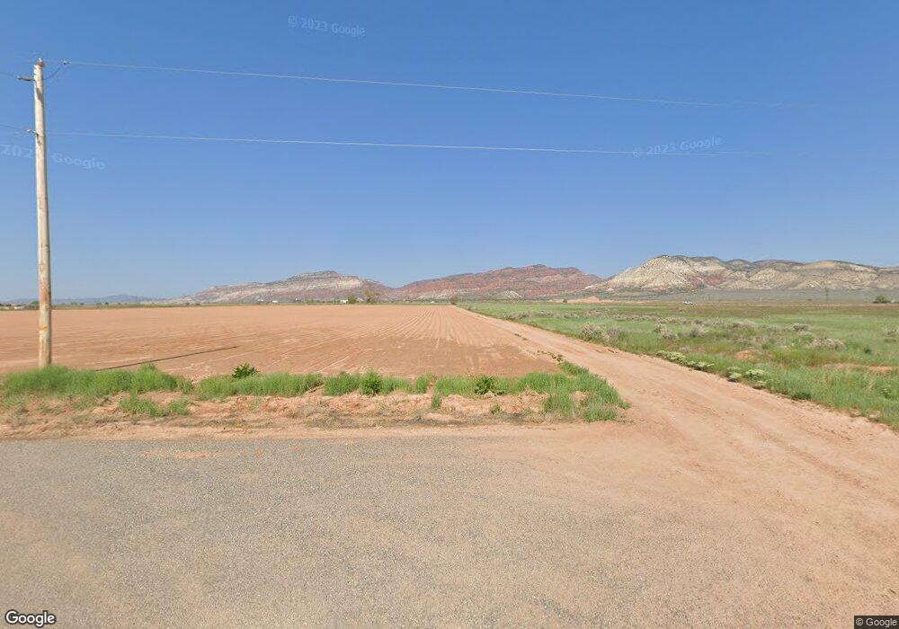
1465 N State St Sigurd, UT 84657
Estimated Value: $350,191 - $372,000
Studio
--
Bath
2,313
Sq Ft
$157/Sq Ft
Est. Value
About This Home
This home is located at 1465 N State St, Sigurd, UT 84657 and is currently estimated at $362,298, approximately $156 per square foot. 1465 N State St is a home with nearby schools including Pahvant School, Ashman School, and Red Hills Middle School.
Create a Home Valuation Report for This Property
The Home Valuation Report is an in-depth analysis detailing your home's value as well as a comparison with similar homes in the area
Tax History
| Year | Tax Paid | Tax Assessment Tax Assessment Total Assessment is a certain percentage of the fair market value that is determined by local assessors to be the total taxable value of land and additions on the property. | Land | Improvement |
|---|---|---|---|---|
| 2025 | $1,608 | $187,008 | $32,095 | $154,913 |
| 2024 | $1,608 | $200,571 | $28,200 | $172,371 |
| 2023 | $1,752 | $203,896 | $27,103 | $176,793 |
| 2022 | $1,751 | $174,778 | $25,366 | $149,412 |
| 2021 | $1,931 | $161,930 | $25,366 | $136,564 |
| 2020 | $1,364 | $106,686 | $16,243 | $90,443 |
| 2019 | $1,235 | $103,120 | $16,230 | $86,890 |
| 2018 | $1,232 | $91,680 | $15,470 | $76,210 |
| 2017 | $1,235 | $87,960 | $15,470 | $72,490 |
| 2016 | $931 | $83,830 | $0 | $0 |
| 2015 | $931 | $83,830 | $0 | $0 |
| 2014 | $931 | $79,460 | $0 | $0 |
Source: Public Records
Map
Nearby Homes
- 2220 N State St Unit 14
- 305 E 2690 N
- 180 N State St
- 733 S Black Knoll Rd
- 701 S Black Unit 4
- 680 E 300 S Unit 110
- 2200 N Hwy 260 (Approximately) W
- 2203 S 1770 W Unit 1
- 79 S 250 E
- 1800 N Vermillion Canal Rd
- 218 E 200 S
- 57 N 100 W
- 30 N Main St
- 376 W 200 N
- 675 N 300 W Unit 111
- 695 N 300 W Unit 112
- 725 N 300 W Unit 113
- 35 W 200 N
- 1526 N Black Knoll Rd
- 110 N 400 E
