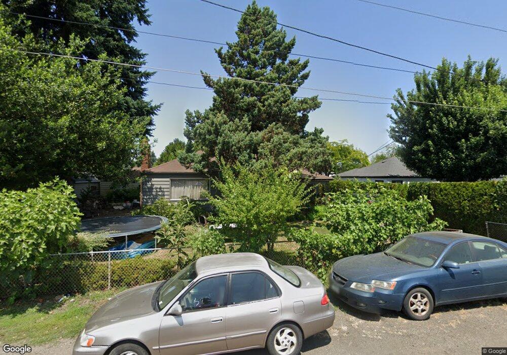
1465 Silverton Rd Woodburn, OR 97071
Estimated Value: $357,000 - $447,000
3
Beds
2
Baths
1,434
Sq Ft
$271/Sq Ft
Est. Value
About This Home
This home is located at 1465 Silverton Rd, Woodburn, OR 97071 and is currently estimated at $389,266, approximately $271 per square foot. 1465 Silverton Rd is a home located in Marion County with nearby schools including Lincoln Elementary School, French Prairie Middle School, and Woodburn Arthur Academy.
Ownership History
Date
Name
Owned For
Owner Type
Purchase Details
Closed on
Apr 26, 2011
Sold by
Fannie Mae
Bought by
Toran Akaty
Current Estimated Value
Purchase Details
Closed on
Jan 3, 2011
Sold by
Sumler Wanda M
Bought by
Federal National Mortgage Association
Purchase Details
Closed on
Mar 25, 2002
Sold by
Card Eugene M and Card Eugene Marion
Bought by
Sumler Wanda M
Home Financials for this Owner
Home Financials are based on the most recent Mortgage that was taken out on this home.
Original Mortgage
$109,467
Interest Rate
6.85%
Mortgage Type
FHA
Create a Home Valuation Report for This Property
The Home Valuation Report is an in-depth analysis detailing your home's value as well as a comparison with similar homes in the area
Home Values in the Area
Average Home Value in this Area
Purchase History
| Date | Buyer | Sale Price | Title Company |
|---|---|---|---|
| Toran Akaty | $85,500 | Amerititle | |
| Federal National Mortgage Association | $157,483 | Fatco | |
| Sumler Wanda M | $110,500 | First American |
Source: Public Records
Mortgage History
| Date | Status | Borrower | Loan Amount |
|---|---|---|---|
| Previous Owner | Sumler Wanda M | $109,467 |
Source: Public Records
Tax History Compared to Growth
Tax History
| Year | Tax Paid | Tax Assessment Tax Assessment Total Assessment is a certain percentage of the fair market value that is determined by local assessors to be the total taxable value of land and additions on the property. | Land | Improvement |
|---|---|---|---|---|
| 2024 | $3,149 | $163,290 | -- | -- |
| 2023 | $3,129 | $158,540 | $0 | $0 |
| 2022 | $2,964 | $153,930 | $0 | $0 |
| 2021 | $2,877 | $149,450 | $0 | $0 |
| 2020 | $2,792 | $145,100 | $0 | $0 |
| 2019 | $2,715 | $140,880 | $0 | $0 |
| 2018 | $2,658 | $0 | $0 | $0 |
| 2017 | $2,580 | $0 | $0 | $0 |
| 2016 | $2,503 | $0 | $0 | $0 |
| 2015 | $2,429 | $0 | $0 | $0 |
| 2014 | $2,309 | $0 | $0 | $0 |
Source: Public Records
Map
Nearby Homes
- 1390 George St
- 1500 George St
- 1078 Young St
- 365 Bryan St
- 1700 NE Laurel Ave
- 119 N Pacific Hwy
- 955 Bryan St
- 885 Mckinley St
- 778 E Lincoln St
- 1600 E Blk Lincoln Rd
- 1600 blk E Lincoln Rd
- 500 Marshall St
- 888 Wilson St
- 1051 Orchard Ln
- 1151 Queen City Blvd
- 795 Corby St
- 680 Cupids Ct
- 185 E Lincoln St
- 749 N Front St Unit 755
- 860 N 1st St
- 1495 Silverton Rd
- 1435 Silverton Rd
- 1360 George St
- 1330 George St
- 1295 Young St
- 1505 Silverton Rd
- 1400 George St
- 1300 George St
- 1265 Young St
- 1430 George St
- 1535 Silverton Rd
- 1365 George St
- 1395 George St
- 1335 George St
- 1235 Young St
- 1405 George St
- 1305 George St
- 1460 George St
- 1290 Young St
- 1435 George St