1465 Stringtown Rd Greenup, KY 41144
Estimated Value: $79,000 - $136,000
Studio
--
Bath
1,176
Sq Ft
$87/Sq Ft
Est. Value
About This Home
This home is located at 1465 Stringtown Rd, Greenup, KY 41144 and is currently estimated at $102,487, approximately $87 per square foot. 1465 Stringtown Rd is a home located in Greenup County with nearby schools including Greenup County High School.
Ownership History
Date
Name
Owned For
Owner Type
Purchase Details
Closed on
Apr 25, 2014
Sold by
Donald Donald and Baker Cheryl J
Bought by
Skees Patrick T and Skees Elisha D
Current Estimated Value
Home Financials for this Owner
Home Financials are based on the most recent Mortgage that was taken out on this home.
Original Mortgage
$36,000
Outstanding Balance
$27,531
Interest Rate
4.5%
Mortgage Type
Adjustable Rate Mortgage/ARM
Estimated Equity
$74,956
Purchase Details
Closed on
Oct 22, 2008
Sold by
Baker Loretta
Bought by
Baker James David
Create a Home Valuation Report for This Property
The Home Valuation Report is an in-depth analysis detailing your home's value as well as a comparison with similar homes in the area
Purchase History
| Date | Buyer | Sale Price | Title Company |
|---|---|---|---|
| Skees Patrick T | $45,000 | -- | |
| Baker James David | -- | -- |
Source: Public Records
Mortgage History
| Date | Status | Borrower | Loan Amount |
|---|---|---|---|
| Open | Skees Patrick T | $36,000 |
Source: Public Records
Tax History
| Year | Tax Paid | Tax Assessment Tax Assessment Total Assessment is a certain percentage of the fair market value that is determined by local assessors to be the total taxable value of land and additions on the property. | Land | Improvement |
|---|---|---|---|---|
| 2025 | $767 | $45,000 | $9,000 | $36,000 |
| 2024 | $765 | $45,000 | $9,000 | $36,000 |
| 2023 | $722 | $45,000 | $9,000 | $36,000 |
| 2022 | $700 | $45,000 | $9,000 | $36,000 |
| 2021 | $697 | $45,000 | $9,000 | $36,000 |
| 2020 | $686 | $45,000 | $9,000 | $36,000 |
| 2019 | $692 | $45,000 | $9,000 | $36,000 |
| 2018 | $709 | $45,000 | $9,000 | $36,000 |
| 2017 | $682 | $45,000 | $9,000 | $36,000 |
| 2016 | $682 | $45,000 | $9,000 | $36,000 |
| 2015 | $677 | $45,000 | $9,000 | $36,000 |
| 2014 | $620 | $41,536 | $9,000 | $32,536 |
| 2011 | -- | $41,536 | $9,000 | $32,536 |
Source: Public Records
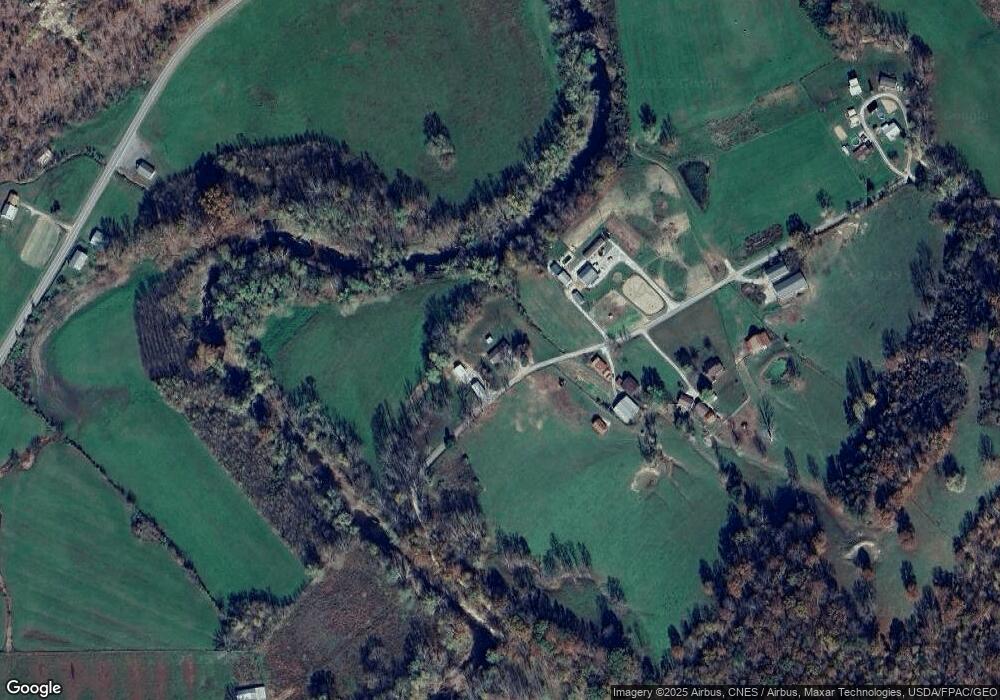
Map
Nearby Homes
- 1834 Howe Hollow Hoods Run Rd
- 6547 State Route 2
- 3304 Laurel Rd
- 0 Brushy Creek Rd
- 1860 Brushy Rd
- 0 Buckner Hollow Unit LotWP001
- 3427 Brushy Creek Rd
- 107 McGuire Cemetery Rd
- 135 Tortoise St
- 3730 Kentucky 2
- Whetstone Road 795
- 423 Bertram Hollow
- 0 Claylick Creek
- 325 Sinking Rd
- Lots E and F Beechy Creek Rd
- 2849 Beechy Creek Rd
- 10640 Kentucky 9
- 13256 State Route 1
- 0 Treasure Cove Rd
- 0 Beauty Ridge Rd
- 1385 Stringtown Rd
- 1557 Stringtown Rd
- 93 Gray Family Cir
- 70 Gray Family Cir
- 96 Gray Family Cir
- 18836 State Route 7
- 56 Gray Family Cir
- 1862 Hoods Run Rd
- 19142 State Route 7
- 3710 Hoods Run Rd
- 18246 State Route 7
- 1043 Hoods Run Rd
- 19462 State Route 7
- 3547 Hoods Run Rd
- 19589 State Route 7
- 19602 State Route 7
- 944 Hoods Run Rd
- 19665 State Route 7
- 503 Hungry Hollow
- 19801 State Route 7
Your Personal Tour Guide
Ask me questions while you tour the home.