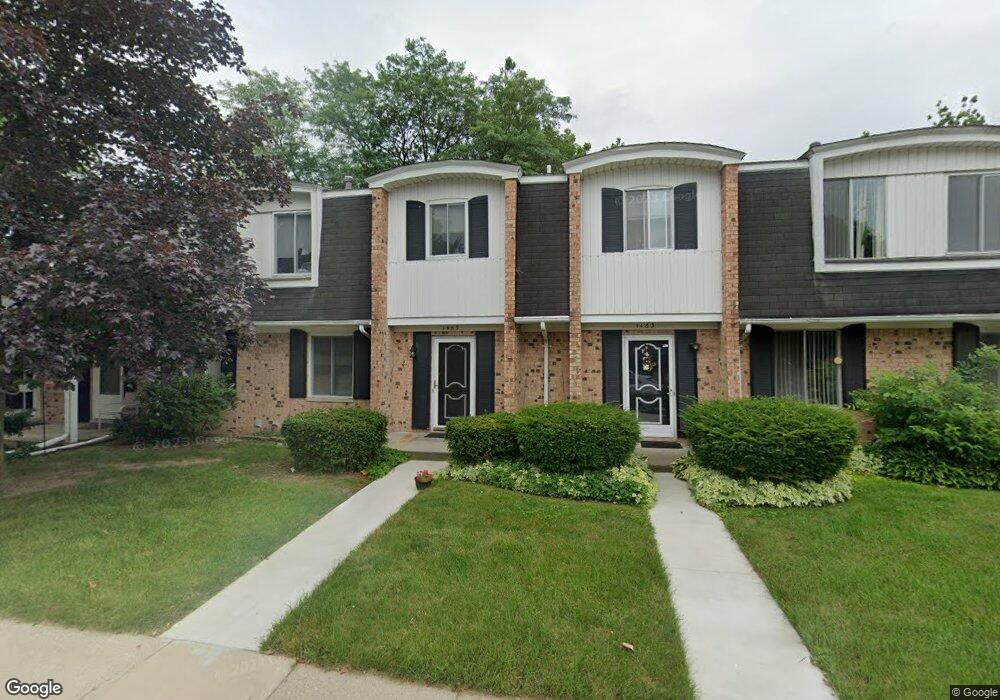
1465 Wexford Dr Unit 6C Davison, MI 48423
Estimated Value: $141,000 - $149,000
--
Bed
1
Bath
1,144
Sq Ft
$126/Sq Ft
Est. Value
About This Home
This home is located at 1465 Wexford Dr Unit 6C, Davison, MI 48423 and is currently estimated at $144,155, approximately $126 per square foot. 1465 Wexford Dr Unit 6C is a home located in Genesee County with nearby schools including Thomson Elementary School, Gates Elementary School, and Hill Elementary School.
Ownership History
Date
Name
Owned For
Owner Type
Purchase Details
Closed on
Jul 8, 2005
Sold by
Thom Katherine L and Root Katherine L
Bought by
Maybank Maureen E
Current Estimated Value
Home Financials for this Owner
Home Financials are based on the most recent Mortgage that was taken out on this home.
Original Mortgage
$72,800
Interest Rate
5.8%
Mortgage Type
Fannie Mae Freddie Mac
Purchase Details
Closed on
Oct 8, 1999
Sold by
Hamilton Patricia A
Bought by
Root Katherine L
Create a Home Valuation Report for This Property
The Home Valuation Report is an in-depth analysis detailing your home's value as well as a comparison with similar homes in the area
Home Values in the Area
Average Home Value in this Area
Purchase History
| Date | Buyer | Sale Price | Title Company |
|---|---|---|---|
| Maybank Maureen E | $91,000 | Lawyers Title | |
| Root Katherine L | $79,900 | Sargents Title Company Llc |
Source: Public Records
Mortgage History
| Date | Status | Borrower | Loan Amount |
|---|---|---|---|
| Previous Owner | Maybank Maureen E | $72,800 |
Source: Public Records
Tax History Compared to Growth
Tax History
| Year | Tax Paid | Tax Assessment Tax Assessment Total Assessment is a certain percentage of the fair market value that is determined by local assessors to be the total taxable value of land and additions on the property. | Land | Improvement |
|---|---|---|---|---|
| 2025 | $2,098 | $69,000 | $0 | $0 |
| 2024 | $384 | $63,100 | $0 | $0 |
| 2023 | $366 | $54,800 | $0 | $0 |
| 2022 | $1,886 | $47,400 | $0 | $0 |
| 2021 | $1,876 | $44,900 | $0 | $0 |
| 2020 | $335 | $42,500 | $0 | $0 |
| 2019 | $329 | $38,700 | $0 | $0 |
| 2018 | $1,592 | $35,400 | $0 | $0 |
| 2017 | $1,535 | $35,400 | $0 | $0 |
| 2016 | $1,504 | $33,100 | $0 | $0 |
| 2015 | -- | $31,300 | $0 | $0 |
| 2012 | -- | $28,600 | $28,600 | $0 |
Source: Public Records
Map
Nearby Homes
- 8368 E Lippincott Blvd
- 2215 Lily Ct
- 0 Lapeer Rd Unit G50060188
- 0 Lapeer Rd Unit G50047586
- 9005 Championship Dr
- 00 Lapeer Rd
- 1120 Crystal Wood Dr
- 9331 Varodell Dr Unit 1
- 1075 Crystal Wood Dr Unit 24
- 00 E Lippincott Blvd
- VL E Lippincott Blvd
- 0 Misty Ln Unit 25040305
- 2318 Crossings Cir Unit 33
- 2393 Crossings Cir
- 9033 Copper Ridge Dr
- integrity 1830 Plan at Villages of Wicklow
- Integrity 2000 Plan at Villages of Wicklow
- Integrity 2080 Plan at Villages of Wicklow
- 2231 Antrim Dr
- 2223 Antrim Dr
- 1467 Wexford Dr
- 1461 Wexford Dr
- 1469 Wexford Dr
- 1459 Wexford Dr
- 1513 Wexford Dr
- 1489 Wexford Dr
- 1515 Wexford Dr
- 1507 Wexford Dr Unit 1F
- 1502 Westbury Dr
- 1502 Westbury Dr Unit Bldg 7 Unit A
- 1500 Westbury Dr
- 1487 Wexford Dr Unit 15
- 1498 Westbury Dr Unit C7
- 1517 Wexford Dr
- 1517 Wexford Dr Unit C
- 1505 Wexford Dr Unit 1E
- 1496 Westbury Dr Unit 7D
- 1512 Westbury Dr Unit 3F
- 1494 Westbury Dr
- 1503 Wexford Dr