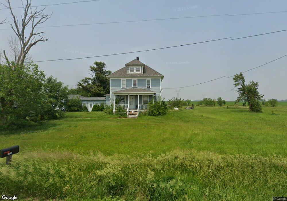
14655 E 1100 Rd N Pontiac, IL 61764
Estimated Value: $235,000 - $267,000
4
Beds
1
Bath
1,680
Sq Ft
$149/Sq Ft
Est. Value
About This Home
This home is located at 14655 E 1100 Rd N, Pontiac, IL 61764 and is currently estimated at $249,707, approximately $148 per square foot. 14655 E 1100 Rd N is a home located in Livingston County with nearby schools including Central Elementary School, Lincoln Elementary School, and Washington Elementary School.
Create a Home Valuation Report for This Property
The Home Valuation Report is an in-depth analysis detailing your home's value as well as a comparison with similar homes in the area
Home Values in the Area
Average Home Value in this Area
Tax History Compared to Growth
Tax History
| Year | Tax Paid | Tax Assessment Tax Assessment Total Assessment is a certain percentage of the fair market value that is determined by local assessors to be the total taxable value of land and additions on the property. | Land | Improvement |
|---|---|---|---|---|
| 2024 | $4,549 | $65,333 | $7,410 | $57,923 |
| 2023 | $4,291 | $59,610 | $6,761 | $52,849 |
| 2022 | $3,638 | $49,836 | $6,231 | $43,605 |
| 2021 | $3,421 | $46,838 | $5,856 | $40,982 |
| 2020 | $3,303 | $44,607 | $5,577 | $39,030 |
| 2019 | $3,423 | $44,607 | $5,577 | $39,030 |
| 2018 | $2,633 | $44,928 | $7,534 | $37,394 |
| 2017 | $2,522 | $43,620 | $7,315 | $36,305 |
| 2016 | $2,418 | $42,350 | $7,102 | $35,248 |
| 2015 | $2,229 | $35,971 | $6,600 | $29,371 |
| 2013 | $2,209 | $32,121 | $6,682 | $25,439 |
Source: Public Records
Map
Nearby Homes
- 31439 2nd St
- 11 Block
- 14373 N 1700 Rd E
- 602 N 4th Ave
- 301 N 2nd Ave
- 503 N Commercial St
- 605 Morningside Dr
- 319 N Letcher St
- 10788 N 1000 Rd E
- 725 Sheridan St
- 9898 E 1200 North Rd
- 1702 S Plum St
- 29758 N 2850 East Rd
- 922 S Mill St
- 220 W Bennett St
- 219 W Bennett St
- 1204 W Reynolds St
- 319 W Moulton St
- 105 Carol Ct Unit C-1
- 811 W South St