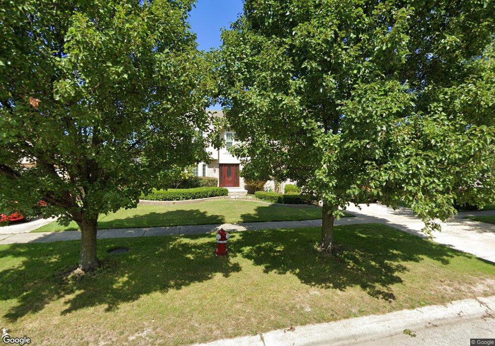
14657 Patterson Dr Shelby Township, MI 48315
Estimated Value: $483,930 - $553,000
4
Beds
3
Baths
2,609
Sq Ft
$198/Sq Ft
Est. Value
About This Home
This home is located at 14657 Patterson Dr, Shelby Township, MI 48315 and is currently estimated at $516,983, approximately $198 per square foot. 14657 Patterson Dr is a home located in Macomb County with nearby schools including Browning Elementary School, Bemis Junior High School, and Henry Ford II High School.
Ownership History
Date
Name
Owned For
Owner Type
Purchase Details
Closed on
Jul 7, 2005
Sold by
Tithof M Charles and Tithof Lisa C
Bought by
Dallo Mark and Dallo Susan
Current Estimated Value
Purchase Details
Closed on
Mar 16, 2001
Sold by
Pozolo Gary T
Bought by
Tithof M C
Purchase Details
Closed on
Dec 14, 1995
Sold by
Lombardo Enterprise
Bought by
Pozolo G and Pozolo C
Create a Home Valuation Report for This Property
The Home Valuation Report is an in-depth analysis detailing your home's value as well as a comparison with similar homes in the area
Home Values in the Area
Average Home Value in this Area
Purchase History
| Date | Buyer | Sale Price | Title Company |
|---|---|---|---|
| Dallo Mark | $296,000 | Metropolitan Title Company | |
| Tithof M C | $260,000 | -- | |
| Pozolo G | $197,500 | -- |
Source: Public Records
Mortgage History
| Date | Status | Borrower | Loan Amount |
|---|---|---|---|
| Closed | Tithof M C | -- |
Source: Public Records
Tax History Compared to Growth
Tax History
| Year | Tax Paid | Tax Assessment Tax Assessment Total Assessment is a certain percentage of the fair market value that is determined by local assessors to be the total taxable value of land and additions on the property. | Land | Improvement |
|---|---|---|---|---|
| 2025 | $4,403 | $220,000 | $0 | $0 |
| 2024 | $2,601 | $205,300 | $0 | $0 |
| 2023 | $2,463 | $180,400 | $0 | $0 |
| 2022 | $3,981 | $162,100 | $0 | $0 |
| 2021 | $3,873 | $156,000 | $0 | $0 |
| 2020 | $2,268 | $147,300 | $0 | $0 |
| 2019 | $3,547 | $135,400 | $0 | $0 |
| 2018 | $3,505 | $139,300 | $0 | $0 |
| 2017 | $3,442 | $143,000 | $30,850 | $112,150 |
| 2016 | $3,416 | $143,000 | $0 | $0 |
| 2015 | $3,368 | $128,450 | $0 | $0 |
| 2013 | $3,772 | $111,150 | $0 | $0 |
Source: Public Records
Map
Nearby Homes
- 14760 Ashton Ln
- 14710 Palmetto Ct
- 47630 Robins Nest Dr
- 14930 Crofton Dr
- 13808 Stone Falcon Dr
- 14257 Mandarin Dr
- 14892 Carver Ct
- 48535 Sugarbush Ct
- 14229 Mandarin Dr
- 48619 Sugarbush Ct Unit 282
- 48679 Aberdeen Ct
- 14890 Dover Ct Unit 80
- 48459 Cheyenne Ct
- 14728 Kings Mill Dr
- 15280 Valerie Dr
- 47387 Royal Rd
- 15297 Spruce Dr
- 47315 Royal Rd
- 15430 Windmill Dr
- 47630 Barbara Rd
- 14595 Patterson Dr
- 14711 Patterson Dr
- 14698 Ashton Dr
- 14723 Patterson Dr
- 14589 Patterson Dr
- 14598 Ashton Dr
- 14714 Ashton Dr
- 14590 Ashton Dr
- 14726 Ashton Dr
- 14571 Patterson Dr
- 14727 Patterson Dr
- 14640 Patterson Dr
- 14708 Patterson Dr
- 14594 Patterson Dr
- 14588 Ashton Dr
- 14722 Patterson Dr
- 14588 Patterson Dr
- 14734 Ashton Dr
- 14566 Ashton Dr
- 14563 Patterson Dr