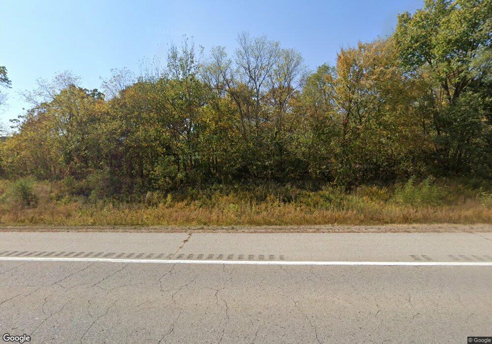
14663 S Highway 71 West Fork, AR 72774
Estimated Value: $231,326 - $389,000
--
Bed
3
Baths
1,872
Sq Ft
$165/Sq Ft
Est. Value
About This Home
This home is located at 14663 S Highway 71, West Fork, AR 72774 and is currently estimated at $309,442, approximately $165 per square foot. 14663 S Highway 71 is a home located in Washington County with nearby schools including West Fork Elementary School, West Fork Middle School, and West Fork High School.
Ownership History
Date
Name
Owned For
Owner Type
Purchase Details
Closed on
Jun 27, 2023
Sold by
Commissioner Of State Lands
Bought by
Pine Mitchell O W and Cossey Amber
Current Estimated Value
Purchase Details
Closed on
May 17, 2016
Sold by
Patrick Danny and Patrick Joyce
Bought by
Black Hills Energy Arkansas Inc and Black Hills Energy
Purchase Details
Closed on
Jul 23, 1996
Bought by
Vandeusen Ruth C
Purchase Details
Closed on
Feb 28, 1967
Bought by
Vandeusen Ruth C
Purchase Details
Closed on
Sep 1, 1966
Bought by
Vandeusen Ruth C
Create a Home Valuation Report for This Property
The Home Valuation Report is an in-depth analysis detailing your home's value as well as a comparison with similar homes in the area
Home Values in the Area
Average Home Value in this Area
Purchase History
| Date | Buyer | Sale Price | Title Company |
|---|---|---|---|
| Pine Mitchell O W | $1,577 | None Listed On Document | |
| Black Hills Energy Arkansas Inc | -- | None Available | |
| Vandeusen Ruth C | -- | -- | |
| Vandeusen Ruth C | -- | -- | |
| Vandeusen Ruth C | -- | -- |
Source: Public Records
Tax History Compared to Growth
Tax History
| Year | Tax Paid | Tax Assessment Tax Assessment Total Assessment is a certain percentage of the fair market value that is determined by local assessors to be the total taxable value of land and additions on the property. | Land | Improvement |
|---|---|---|---|---|
| 2025 | $647 | $27,630 | $3,350 | $24,280 |
| 2024 | $694 | $27,630 | $3,350 | $24,280 |
| 2023 | $720 | $27,630 | $3,350 | $24,280 |
| 2022 | $744 | $26,620 | $2,600 | $24,020 |
| 2021 | $697 | $26,620 | $2,600 | $24,020 |
| 2020 | $651 | $26,620 | $2,600 | $24,020 |
| 2019 | $979 | $19,310 | $2,300 | $17,010 |
| 2018 | $979 | $19,310 | $2,300 | $17,010 |
| 2017 | $900 | $19,310 | $2,300 | $17,010 |
| 2016 | $950 | $19,310 | $2,300 | $17,010 |
| 2015 | $900 | $19,310 | $2,300 | $17,010 |
| 2014 | $946 | $20,290 | $3,060 | $17,230 |
Source: Public Records
Map
Nearby Homes
- 696 E Thornstone Ave
- TBD Wooten Rd Rd
- 222 Rivendale Dr
- 503 Clark Ave
- 497 Clark Ave
- 170 Arkansas 170
- 0000- Hwy 170 Devils Arkansas 170
- Springs 1445 Plan at Rolling Plains
- Eureka 1536 Plan at Rolling Plains
- Oak 1463 Plan at Rolling Plains
- Magnolia 1556 Plan at Rolling Plains
- Ashton 1496 Plan at Rolling Plains
- Ouachita 1669 Plan at Rolling Plains
- Osage 1567 Plan at Rolling Plains
- Maple 1659 Plan at Rolling Plains
- 1320 Mcknight Ave
- 14832 S Highway 71
- 1340 Mcknight Ave
- 1270 Mcknight Ave
- 11830 Corley Mountain Rd
- 1345 Mcknight Ave
- 11836 Corley Mountain Rd
- 0 County 35 Rd Unit 592135
- 0 County 35 Rd Unit 642051
- 14829 Woolsey Rd
- 12.48 ac Schull Estates
- 15064 Woolsey Rd
- 14925 Woolsey Rd
- 157 W Egg Hill Rd
- 16.73 Acres Mcknight Ave
- 14955 Woolsey Rd
- 157 Eagle Rock Rd
- 14916 S Highway 71
- 1135 Mcknight Ave
- 15017 Woolsey Rd
