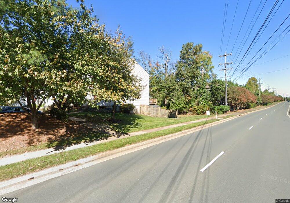
14664 Basingstoke Loop Centreville, VA 20120
Estimated Value: $445,486 - $479,000
3
Beds
2
Baths
1,080
Sq Ft
$425/Sq Ft
Est. Value
About This Home
This home is located at 14664 Basingstoke Loop, Centreville, VA 20120 and is currently estimated at $459,122, approximately $425 per square foot. 14664 Basingstoke Loop is a home located in Fairfax County with nearby schools including London Towne Elementary School, Ormond Stone Middle School, and Westfield High School.
Ownership History
Date
Name
Owned For
Owner Type
Purchase Details
Closed on
Apr 23, 2001
Sold by
Burnett Robert F
Bought by
Palmer James T
Current Estimated Value
Home Financials for this Owner
Home Financials are based on the most recent Mortgage that was taken out on this home.
Original Mortgage
$133,900
Outstanding Balance
$48,920
Interest Rate
6.9%
Mortgage Type
Purchase Money Mortgage
Estimated Equity
$410,202
Create a Home Valuation Report for This Property
The Home Valuation Report is an in-depth analysis detailing your home's value as well as a comparison with similar homes in the area
Home Values in the Area
Average Home Value in this Area
Purchase History
| Date | Buyer | Sale Price | Title Company |
|---|---|---|---|
| Palmer James T | $134,900 | -- |
Source: Public Records
Mortgage History
| Date | Status | Borrower | Loan Amount |
|---|---|---|---|
| Open | Palmer James T | $133,900 |
Source: Public Records
Tax History
| Year | Tax Paid | Tax Assessment Tax Assessment Total Assessment is a certain percentage of the fair market value that is determined by local assessors to be the total taxable value of land and additions on the property. | Land | Improvement |
|---|---|---|---|---|
| 2025 | $4,798 | $454,420 | $165,000 | $289,420 |
| 2024 | $4,798 | $414,120 | $140,000 | $274,120 |
| 2023 | $4,389 | $388,960 | $125,000 | $263,960 |
| 2022 | $4,108 | $359,210 | $115,000 | $244,210 |
| 2021 | $3,892 | $331,650 | $105,000 | $226,650 |
| 2020 | $3,631 | $306,780 | $92,000 | $214,780 |
| 2019 | $3,561 | $300,850 | $92,000 | $208,850 |
| 2018 | $3,278 | $285,000 | $82,000 | $203,000 |
| 2017 | $3,208 | $276,330 | $77,000 | $199,330 |
| 2016 | $3,113 | $268,730 | $72,000 | $196,730 |
Source: Public Records
Map
Nearby Homes
- 14669 Battery Ridge Ln
- 14661 Battery Ridge Ln
- 5847 Belcher Farm Dr
- 14730 Basingstoke Loop
- 14636 Olde Kent Rd
- 14609 Olde Kent Rd
- 14611 Winterfield Dr
- 14706 Deer Lake Ct
- 14511 Oak Cluster Dr
- 14816 Millicent Ct
- 14513 Battery Ridge Ln
- 5840 Watermark Cir
- 14617 Woodspring Ct
- 5812 Stone Creek Dr
- 14525 Four Chimney Dr
- 14632 Woodspring Ct
- 5870 Linden Creek Ct
- 14445 Salisbury Plain Ct
- 5814 Deer Pond Rd
- 5661 Thorndyke Ct
- 14666 Basingstoke Loop Unit 219
- 14668 Basingstoke Loop Unit 218
- 14670 Basingstoke Loop
- 14672 Basingstoke Loop Unit 216
- 14674 Basingstoke Loop
- 14676 Basingstoke Loop
- 14676 Basingstoke Loop Unit 214
- 14678 Basingstoke Loop
- 14678 Basingstoke Loop Unit 213
- 14601 Stream Pond Dr
- 14603 Stream Pond Dr
- 14605 Stream Pond Dr
- 14607 Stream Pond Dr
- 5825 Stone Ridge Dr
- 14609 Stream Pond Dr
- 14680 Basingstoke Loop
- 14680 Basingstoke Loop Unit 212
- 14682 Basingstoke Loop Unit 211
- 14682 Basingstoke Loop
- 14611 Stream Pond Dr
Your Personal Tour Guide
Ask me questions while you tour the home.