14668 Mccracken Ln Neosho, MO 64850
Estimated Value: $246,000 - $342,000
3
Beds
2
Baths
1,507
Sq Ft
$190/Sq Ft
Est. Value
About This Home
This home is located at 14668 Mccracken Ln, Neosho, MO 64850 and is currently estimated at $285,639, approximately $189 per square foot. 14668 Mccracken Ln is a home located in Newton County with nearby schools including Westview Elementary School.
Ownership History
Date
Name
Owned For
Owner Type
Purchase Details
Closed on
Aug 9, 2021
Sold by
Rider Reynolds Thomas and Rider Lanie
Bought by
Carroll Curtis E
Current Estimated Value
Purchase Details
Closed on
Sep 17, 2020
Sold by
Travis Hollaway
Bought by
Reynolds Thomas Rider
Home Financials for this Owner
Home Financials are based on the most recent Mortgage that was taken out on this home.
Original Mortgage
$153,075
Interest Rate
2.8%
Mortgage Type
FHA
Purchase Details
Closed on
May 9, 2018
Sold by
Hardy Dunn
Bought by
Dunn Joann
Home Financials for this Owner
Home Financials are based on the most recent Mortgage that was taken out on this home.
Original Mortgage
$20,750
Interest Rate
4.44%
Mortgage Type
New Conventional
Create a Home Valuation Report for This Property
The Home Valuation Report is an in-depth analysis detailing your home's value as well as a comparison with similar homes in the area
Home Values in the Area
Average Home Value in this Area
Purchase History
| Date | Buyer | Sale Price | Title Company |
|---|---|---|---|
| Carroll Curtis E | -- | None Listed On Document | |
| Carroll Curtis E | -- | None Listed On Document | |
| Reynolds Thomas Rider | $154,605 | None Listed On Document | |
| Reynolds Thomas Rider | -- | None Listed On Document | |
| Dunn Joann | $27,597 | -- |
Source: Public Records
Mortgage History
| Date | Status | Borrower | Loan Amount |
|---|---|---|---|
| Previous Owner | Reynolds Thomas Rider | $153,075 | |
| Previous Owner | Dunn Joann | $20,750 |
Source: Public Records
Tax History Compared to Growth
Tax History
| Year | Tax Paid | Tax Assessment Tax Assessment Total Assessment is a certain percentage of the fair market value that is determined by local assessors to be the total taxable value of land and additions on the property. | Land | Improvement |
|---|---|---|---|---|
| 2024 | $1,359 | $25,760 | -- | -- |
| 2023 | $1,359 | $25,760 | $11,363 | $14,397 |
| 2022 | $1,359 | $25,760 | -- | -- |
| 2021 | $1,331 | $25,410 | $0 | $0 |
| 2020 | $1,228 | $23,470 | $0 | $0 |
| 2019 | $1,224 | $23,470 | $0 | $0 |
| 2018 | $0 | $15,040 | $0 | $0 |
| 2017 | $675 | $15,040 | $0 | $0 |
| 2016 | $675 | $14,790 | $0 | $0 |
| 2015 | -- | $14,790 | $0 | $0 |
| 2014 | -- | $14,510 | $0 | $0 |
Source: Public Records
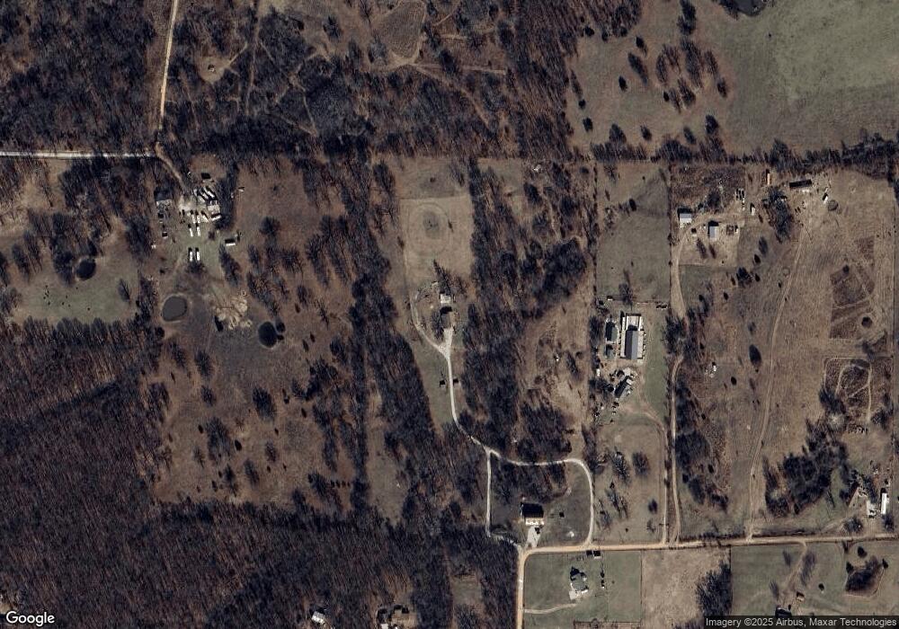
Map
Nearby Homes
- 13115 Falcon Rd
- 2012 Eagle Dr
- 5711 Westview Rd
- 0000 Gazelle Rd
- 11802 Emden Ln
- 8637 Oxbow Ln
- 17414 Evanston Ln
- 000 Condor Dr Unit Tract 1
- 6962 Olive Ln
- 0000 Gazelle Dr
- 8406 Jasmine Dr
- 21+/- Acres Goldfinch Rd
- 000 Old 60 Drive- Tract 3
- 000 Goldfinch Rd
- 000 Old 60 Drive- Tract 1
- 18284 B-1 Gazelle Dr
- 18284 B-2 Gazelle Dr
- 15481 Heron Dr
- 15481 Dr
- 14672 Mccracken Ln
- 14629 Mccracken Ln
- 14629 McCraken Ln
- 6982 Maple Dr
- 14672 McCraken Ln
- 14548 McCraken Ln
- 14668 McCraken Ln
- 14675 Mccracken Ln
- 6924 Maple Dr
- 7326 Maple Dr
- 14500 Mccracken Ln
- 7394 Maple Dr
- 7466 Maple Dr
- 6943 Maple Dr Unit 1
- 6943 Maple Dr
- 6927 Mulberry Rd
- 14447 Highway Cc
- 14371 Highway Cc
- 6871 Maple Dr
- 7420 Maple Dr