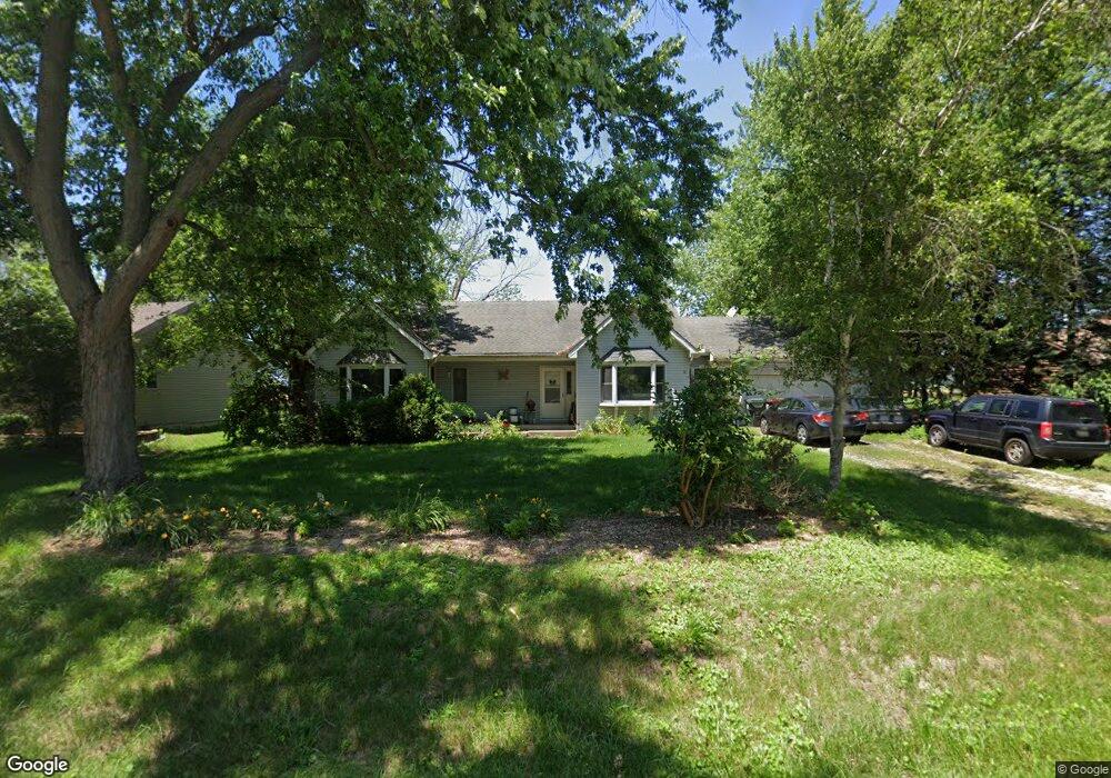
1467 N Eagle Island Rd Kankakee, IL 60901
Estimated Value: $253,000 - $348,000
3
Beds
3
Baths
1,550
Sq Ft
$194/Sq Ft
Est. Value
About This Home
This home is located at 1467 N Eagle Island Rd, Kankakee, IL 60901 and is currently estimated at $300,541, approximately $193 per square foot. 1467 N Eagle Island Rd is a home located in Kankakee County with nearby schools including Momence Junior High School, Je-Neir Elementary School, and Momence High School.
Ownership History
Date
Name
Owned For
Owner Type
Purchase Details
Closed on
Jun 27, 2012
Sold by
Bloomquist Roger L
Bought by
Fisher Charles E and Fisher Angelina C
Current Estimated Value
Home Financials for this Owner
Home Financials are based on the most recent Mortgage that was taken out on this home.
Original Mortgage
$159,065
Outstanding Balance
$109,540
Interest Rate
3.62%
Mortgage Type
FHA
Estimated Equity
$191,001
Create a Home Valuation Report for This Property
The Home Valuation Report is an in-depth analysis detailing your home's value as well as a comparison with similar homes in the area
Home Values in the Area
Average Home Value in this Area
Purchase History
| Date | Buyer | Sale Price | Title Company |
|---|---|---|---|
| Fisher Charles E | $162,000 | Standard Title |
Source: Public Records
Mortgage History
| Date | Status | Borrower | Loan Amount |
|---|---|---|---|
| Open | Fisher Charles E | $159,065 |
Source: Public Records
Tax History Compared to Growth
Tax History
| Year | Tax Paid | Tax Assessment Tax Assessment Total Assessment is a certain percentage of the fair market value that is determined by local assessors to be the total taxable value of land and additions on the property. | Land | Improvement |
|---|---|---|---|---|
| 2024 | $5,690 | $87,091 | $15,000 | $72,091 |
| 2023 | $4,986 | $76,929 | $14,999 | $61,930 |
| 2022 | $5,155 | $76,929 | $14,999 | $61,930 |
| 2021 | $4,760 | $69,936 | $14,999 | $54,937 |
| 2020 | $3,756 | $55,314 | $8,333 | $46,981 |
| 2019 | $3,838 | $55,314 | $8,333 | $46,981 |
| 2018 | $3,837 | $55,314 | $8,333 | $46,981 |
| 2017 | $3,839 | $55,314 | $8,333 | $46,981 |
| 2016 | $3,830 | $55,314 | $8,333 | $46,981 |
| 2015 | $3,680 | $53,059 | $4,152 | $48,907 |
| 2014 | $4,103 | $53,059 | $4,152 | $48,907 |
| 2013 | -- | $54,004 | $4,226 | $49,778 |
Source: Public Records
Map
Nearby Homes
- 1391 N Riverside Dr
- 0000 E 4th St
- 9 S Maple St
- 0000 N Roosevelt Ave
- 6340 E River Ct
- 1005 Paul Dr
- 864 Ash Dr
- 988 S Spruce Ln
- 10258 E River South Rd
- Lot 1 E 2000 Rd N
- 5596 Aspen Dr
- VACANT LOT Virden St
- 222 Cherry Ln
- NONE, S Hieland Rd
- 33 Hill St
- 7861 E 2250s Rd
- 1425 Shorewood Dr
- 1701 Woodcrest Dr
- 5265 E 4000 Rd N
- 428 W 6th St
- 1447 N Eagle Island Rd
- 1447 N Eagle Island Rd
- 1493 N Eagle Island Rd
- 1414 N Eagle Island Rd
- 1409 N Eagle Island Rd
- 1379 N Eagle Island Rd
- 1361 N Eagle Island Rd
- 1092 N Riverside Dr
- 1210 N Riverside Dr
- 1232 N Riverside Dr
- 1343 N Eagle Island Rd
- 1240 N Riverside Dr
- 1109 N Riverside Dr
- 1256 N Riverside Dr
- 1171 N Riverside Dr
- 1335 N Eagle Island Rd
- 1075 N Riverside Dr
- 1051 N Riverside Dr
- 1233 N Riverside Dr
- 1286 N Riverside Dr