1467 New Woodbridge Rd Camdenton, MI 65020
Estimated Value: $320,964 - $434,000
3
Beds
3
Baths
1,891
Sq Ft
$204/Sq Ft
Est. Value
About This Home
This home is located at 1467 New Woodbridge Rd, Camdenton, MI 65020 and is currently estimated at $386,241, approximately $204 per square foot. 1467 New Woodbridge Rd is a home located in Camden County with nearby schools including Camdenton High School.
Ownership History
Date
Name
Owned For
Owner Type
Purchase Details
Closed on
May 23, 2022
Sold by
Chrisman Joshua A
Bought by
Carter Karen
Current Estimated Value
Purchase Details
Closed on
Aug 15, 2020
Sold by
Burbach Ronald S and Burbach Heather L
Bought by
Chrisman Joshua A
Home Financials for this Owner
Home Financials are based on the most recent Mortgage that was taken out on this home.
Original Mortgage
$190,120
Interest Rate
3%
Mortgage Type
Construction
Purchase Details
Closed on
Feb 21, 2014
Bought by
Burbach Ronald S
Create a Home Valuation Report for This Property
The Home Valuation Report is an in-depth analysis detailing your home's value as well as a comparison with similar homes in the area
Home Values in the Area
Average Home Value in this Area
Purchase History
| Date | Buyer | Sale Price | Title Company |
|---|---|---|---|
| Carter Karen | -- | Sunrise Abstracting & Title Sv | |
| Chrisman Joshua A | $237,650 | Sunrise Abstracting Corp | |
| Burbach Ronald S | -- | -- |
Source: Public Records
Mortgage History
| Date | Status | Borrower | Loan Amount |
|---|---|---|---|
| Previous Owner | Chrisman Joshua A | $190,120 |
Source: Public Records
Tax History Compared to Growth
Tax History
| Year | Tax Paid | Tax Assessment Tax Assessment Total Assessment is a certain percentage of the fair market value that is determined by local assessors to be the total taxable value of land and additions on the property. | Land | Improvement |
|---|---|---|---|---|
| 2023 | $1,133 | $25,940 | $0 | $0 |
| 2022 | $1,109 | $25,940 | $0 | $0 |
| 2021 | $1,109 | $25,940 | $0 | $0 |
| 2020 | $1,116 | $25,940 | $0 | $0 |
| 2019 | $1,116 | $25,940 | $0 | $0 |
| 2018 | $1,116 | $25,940 | $0 | $0 |
| 2017 | $1,060 | $25,940 | $0 | $0 |
| 2016 | $1,034 | $25,940 | $0 | $0 |
| 2015 | $1,099 | $25,940 | $0 | $0 |
| 2014 | $1,098 | $25,940 | $0 | $0 |
| 2013 | -- | $25,940 | $0 | $0 |
Source: Public Records
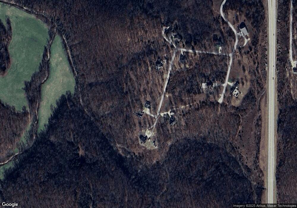
Map
Nearby Homes
- 1389 Crater Hill Rd
- 157 Angel Dr
- 83 Oak Tree Rd
- 368 Westwood Dr
- 389 Brooks Ln
- TBD Smokey Dr
- 26 Silver Spur Ct
- 19 Silver Spur Ct
- 20 Silver Spur Ct
- 477 Rodeo Rd
- 58 Apple Cider
- 145 Broadway Ave
- Lot #4 Moreland Rd
- Lot 66 Forget me Not Ln
- 1.93 Acres S Business Route 5
- 90 Pleasant Hollow Ln
- Lot #6 Great Oaks Dr
- Lot #5 Great Oaks Dr
- 74 Cody Ln
- 1108 Moreland Rd
- 1467 New Woodbridge Rd
- 1470 New Woodbridge Rd
- 1481 New Woodbridge Rd
- 1379 New Woodbridge Rd
- 1379 New Woodbridge Rd
- 1348 New Woodbridge Rd
- 63 Old Woodbridge Ct
- 1339 New Woodbridge Rd
- 0 Old Woodbridge Ct
- 60 Old Woodbridge Ct
- 1261 New Woodbridge Rd
- 1115 New Woodbridge Rd
- 31367 Old Highway 5
- 929 Old Highway 5
- 641 S Old Hwy 5
- 1951 Old Highway 5
- 0 Quinn Road-Hwy 5
- Lk Rd 5-81 Moeller Rd
- 0 Old Hwy 5 N
- Tonka Hwy 5 S