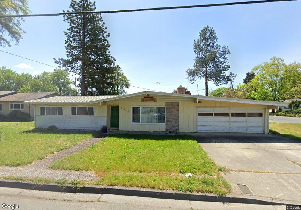
1467 SW Bridge St Grants Pass, OR 97526
Estimated Value: $294,000 - $339,000
3
Beds
2
Baths
1,332
Sq Ft
$242/Sq Ft
Est. Value
About This Home
This home is located at 1467 SW Bridge St, Grants Pass, OR 97526 and is currently estimated at $321,709, approximately $241 per square foot. 1467 SW Bridge St is a home located in Josephine County with nearby schools including Parkside Elementary School, North Middle School, and Grants Pass High School.
Ownership History
Date
Name
Owned For
Owner Type
Purchase Details
Closed on
May 1, 2024
Sold by
Conard Family Revocable Trust and Conard Jeffrey D
Bought by
Conard Jacob and Mckenzie Conard
Current Estimated Value
Purchase Details
Closed on
Apr 11, 2011
Sold by
Federal National Mortgage Association
Bought by
Conard Larry D and Conard Bonnie D
Purchase Details
Closed on
Sep 24, 2010
Sold by
Shelley Ronald D and Shelley Debra L
Bought by
Federal National Mortgage Association
Create a Home Valuation Report for This Property
The Home Valuation Report is an in-depth analysis detailing your home's value as well as a comparison with similar homes in the area
Home Values in the Area
Average Home Value in this Area
Purchase History
| Date | Buyer | Sale Price | Title Company |
|---|---|---|---|
| Conard Jacob | -- | None Listed On Document | |
| Conard Larry D | $76,650 | Ticor Title Company Oregon | |
| Federal National Mortgage Association | $167,391 | Fa |
Source: Public Records
Tax History Compared to Growth
Tax History
| Year | Tax Paid | Tax Assessment Tax Assessment Total Assessment is a certain percentage of the fair market value that is determined by local assessors to be the total taxable value of land and additions on the property. | Land | Improvement |
|---|---|---|---|---|
| 2025 | $1,798 | $138,450 | -- | -- |
| 2024 | $1,798 | $134,420 | -- | -- |
| 2023 | $1,746 | $130,510 | $0 | $0 |
| 2022 | $1,650 | $126,710 | $0 | $0 |
| 2021 | $1,598 | $123,020 | $0 | $0 |
| 2020 | $1,552 | $119,440 | $0 | $0 |
| 2019 | $1,507 | $115,970 | $0 | $0 |
| 2018 | $1,534 | $112,600 | $0 | $0 |
| 2017 | $1,513 | $109,330 | $0 | $0 |
| 2016 | $1,211 | $99,080 | $0 | $0 |
| 2015 | $1,042 | $85,600 | $0 | $0 |
| 2014 | $1,037 | $85,020 | $0 | $0 |
Source: Public Records
Map
Nearby Homes
- 1453 SW Silver Maple Way
- 1719 SW Bridge St
- 1126 SW Cottonwood St
- 1710 SW Brownell Ave
- 1950 SW Betty Ln
- 1613 SW I St
- 1202 SW Viola Dr
- 1013 SW L St
- 1129 SW Ballinger Dr
- 3487 SW Leonard St
- 927 SW L St
- 1990 SW Betty Ln
- 1986 SW Betty Ln
- 1019 SW J St
- 955 SW Rogue River Ave Unit A
- 738 Lincoln Rd
- 1011 SW I St
- 2082 Lower River Rd
- 11311133 SW Central Ave
- 1901 SW G St
- 909 SW Spruce St
- 1461 SW Bridge St
- 1477 SW Bridge St
- 1470 SW Bridge St
- 1459 SW Silver Maple Way
- 1468 SW Bridge St
- 917 SW Spruce St
- 910 SW Spruce St
- 724 SW Westholm Ave
- 1457 SW Silver Maple Way
- 916 SW Spruce St
- 1474 SW Bridge St
- 923 SW Spruce St
- 659 SW Western Ave
- 718 SW Westholm Ave
- 1454 SW Bridge St
- 1701 SW Bridge St
- 1437 SW Bridge St
- 1485 SW Bridge St
- 922 SW Spruce St