14671 Frontier Rd Camden, MI 49232
Estimated Value: $114,000 - $230,190
3
Beds
1
Bath
1,008
Sq Ft
$188/Sq Ft
Est. Value
About This Home
This home is located at 14671 Frontier Rd, Camden, MI 49232 and is currently estimated at $189,298, approximately $187 per square foot. 14671 Frontier Rd is a home located in Hillsdale County with nearby schools including Camden-Frontier K-8 School and Camden-Frontier High School.
Ownership History
Date
Name
Owned For
Owner Type
Purchase Details
Closed on
Apr 1, 2015
Sold by
Mercer Marolyn L and Mercer Alfred C
Bought by
Mercer Marolyn L and Mercer Todd
Current Estimated Value
Purchase Details
Closed on
Sep 19, 2011
Sold by
The Huntington National Bank
Bought by
Mercer Alfred C and Mercer Marolyn L
Purchase Details
Closed on
Sep 25, 2009
Sold by
Baehr Pamela S and Baehr Gregory A
Bought by
The Huntington National Bank
Purchase Details
Closed on
Dec 30, 2002
Sold by
Stone Arlie E and Stone Arlene D
Bought by
Baehr Gregory Allen and Pamela Sue
Create a Home Valuation Report for This Property
The Home Valuation Report is an in-depth analysis detailing your home's value as well as a comparison with similar homes in the area
Home Values in the Area
Average Home Value in this Area
Purchase History
| Date | Buyer | Sale Price | Title Company |
|---|---|---|---|
| Mercer Marolyn L | -- | None Available | |
| Mercer Alfred C | $42,000 | Hbi Title Services Inc | |
| The Huntington National Bank | $41,300 | None Available | |
| Baehr Gregory Allen | $119,000 | -- |
Source: Public Records
Tax History Compared to Growth
Tax History
| Year | Tax Paid | Tax Assessment Tax Assessment Total Assessment is a certain percentage of the fair market value that is determined by local assessors to be the total taxable value of land and additions on the property. | Land | Improvement |
|---|---|---|---|---|
| 2025 | $1,250 | $87,400 | $0 | $0 |
| 2024 | $528 | $75,700 | $0 | $0 |
| 2023 | $504 | $62,700 | $0 | $0 |
| 2022 | $1,037 | $55,100 | $0 | $0 |
| 2021 | $1,180 | $55,100 | $0 | $0 |
| 2020 | $1,193 | $46,200 | $0 | $0 |
| 2019 | $982 | $41,400 | $0 | $0 |
| 2018 | $976 | $40,000 | $0 | $0 |
| 2017 | $1,009 | $40,230 | $0 | $0 |
| 2016 | $1,020 | $42,020 | $0 | $0 |
| 2015 | $460 | $42,020 | $0 | $0 |
| 2013 | $447 | $40,780 | $0 | $0 |
| 2012 | -- | $49,730 | $0 | $0 |
Source: Public Records
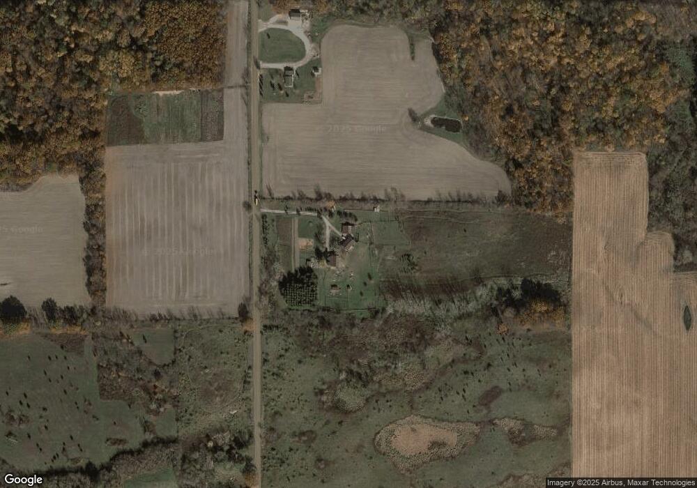
Map
Nearby Homes
- 13551 Hillsdale Rd
- 13791 E Diane Dr
- 13857 E Diane Dr
- 14621 Laura Ln
- 4002 & 4014 Meadowlawn Dr
- 14600 W Diane Dr
- 14165 Crampton Rd
- 14667 Roberts Ct
- 4324 Oak Glen Dr
- 14401 Woodbridge Rd
- 14934 Heather Ct
- 4610 Wynnewood Dr
- 11794 Clark Rd
- 12471 Crampton Rd
- 623-624 Yuma Trail
- 155 Navajo Trail
- 131 Choctaw Trail
- 362 Wasco Trail
- 199 Shoshone Trail
- 207 Modoc Trail
- 15150 Frontier Rd
- 14521 Frontier Rd
- 14860 Frontier Rd
- 1940 E Territorial Rd
- 2211 E Territorial Rd
- 14441 Frontier Rd
- 1851 E Territorial Rd
- 2351 E Territorial Rd
- 2301 E Territorial Rd
- 15170 Frontier Rd
- 15250 Frontier Rd
- 1520 E Territorial Rd
- 15254 Durbin Rd
- 14191 Frontier Rd
- 1571 E Territorial Rd
- 15400 Frontier Rd
- 15348 Durbin Rd Unit Bldg-Unit
- 15348 Durbin Rd
- 0 Durbin Unit 11005520
- 0 Durbin Rd Unit 11019650