Estimated Value: $873,000 - $1,034,584
4
Beds
4
Baths
3,297
Sq Ft
$290/Sq Ft
Est. Value
About This Home
This home is located at 14675 Burns Branch Rd, Krum, TX 76249 and is currently estimated at $954,646, approximately $289 per square foot. 14675 Burns Branch Rd is a home located in Denton County with nearby schools including Krum Early Education Center, Dyer Elementary School, and Krum Middle School.
Ownership History
Date
Name
Owned For
Owner Type
Purchase Details
Closed on
Nov 2, 2015
Sold by
Wilkie Thomas B and Wilkie Shelby
Bought by
Cossman Roderick and Cossman Stephanie
Current Estimated Value
Home Financials for this Owner
Home Financials are based on the most recent Mortgage that was taken out on this home.
Original Mortgage
$417,000
Outstanding Balance
$329,211
Interest Rate
3.9%
Mortgage Type
New Conventional
Estimated Equity
$625,435
Create a Home Valuation Report for This Property
The Home Valuation Report is an in-depth analysis detailing your home's value as well as a comparison with similar homes in the area
Home Values in the Area
Average Home Value in this Area
Purchase History
| Date | Buyer | Sale Price | Title Company |
|---|---|---|---|
| Cossman Roderick | -- | Attorney |
Source: Public Records
Mortgage History
| Date | Status | Borrower | Loan Amount |
|---|---|---|---|
| Open | Cossman Roderick | $417,000 |
Source: Public Records
Tax History Compared to Growth
Tax History
| Year | Tax Paid | Tax Assessment Tax Assessment Total Assessment is a certain percentage of the fair market value that is determined by local assessors to be the total taxable value of land and additions on the property. | Land | Improvement |
|---|---|---|---|---|
| 2025 | $3,510 | $408,827 | $35,172 | $607,199 |
| 2024 | $5,301 | $373,922 | $0 | $0 |
| 2023 | $3,350 | $341,099 | $35,478 | $499,063 |
| 2022 | $5,117 | $312,955 | $27,791 | $285,164 |
| 2021 | $5,300 | $337,566 | $27,683 | $309,883 |
| 2020 | $5,716 | $353,490 | $10,585 | $342,905 |
| 2019 | $6,349 | $359,616 | $10,675 | $348,941 |
| 2018 | $6,501 | $365,701 | $10,720 | $354,981 |
| 2017 | $6,525 | $364,841 | $10,720 | $354,121 |
| 2016 | $7,009 | $391,927 | $10,810 | $381,117 |
| 2015 | $4,426 | $287,901 | $8,355 | $279,546 |
| 2013 | -- | $234,069 | $8,175 | $225,894 |
Source: Public Records
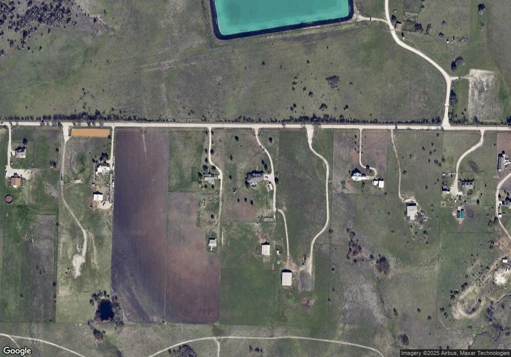
Map
Nearby Homes
- 8405 Fort Benton Dr
- 8408 Fort Benton Dr
- 14120 Golden Valley Rd
- 8429 White Wolf Trail
- 8421 White Wolf Trail
- 8409 White Wolf Trail
- 8405 White Wolf Trail
- 8424 White Wolf Trail
- 8425 Wibaux Rd
- 8216 Columbia Falls Rd
- 8317 White Wolf Trail
- 8404 White Wolf Trail
- 8320 White Wolf Trail
- 8213 White Wolf Trail
- 8209 White Wolf Trail
- 8312 Wibaux Rd
- 8424 Silverbow Dr
- 13813 Turtle Mountain Rd
- 13713 Turtle Mountain Rd
- 13709 Turtle Mountain Rd
- 14411 Burns Branch Rd
- 14913 Burns Branch Rd
- 14341 Burns Branch Rd
- 14975 Burns Branch Rd
- 19 Burns Branch Rd
- 12850 N County Line Rd
- 12820 N County Line Rd
- 12960 N County Line Rd
- 12960 N County Line Rd
- 13100 N County Line Rd
- 12760 N County Line Rd
- 12920 N County Line Rd
- 12782 N County Line Rd
- 13002 N County Line Rd
- 000 N County Line Rd
- 13566 N County Line Rd
- 13630 N County Line Rd
- 8241 Ravalli St
- 8237 Ravalli St
- 8233 Ravalli St