14675 Industrial Park Rd Bristol, VA 24202
Estimated Value: $2,705,189
--
Bed
2
Baths
1,800
Sq Ft
$1,503/Sq Ft
Est. Value
About This Home
This home is located at 14675 Industrial Park Rd, Bristol, VA 24202 and is currently estimated at $2,705,189, approximately $1,502 per square foot. 14675 Industrial Park Rd is a home located in Washington County with nearby schools including High Point Elementary School, Wallace Middle School, and John S. Battle High School.
Ownership History
Date
Name
Owned For
Owner Type
Purchase Details
Closed on
Nov 30, 2022
Sold by
Agc Real Estate Llc
Bought by
Spig Industry Llc
Current Estimated Value
Home Financials for this Owner
Home Financials are based on the most recent Mortgage that was taken out on this home.
Original Mortgage
$2,500,000
Outstanding Balance
$2,385,646
Interest Rate
6.95%
Mortgage Type
Small Business Administration
Estimated Equity
$319,543
Purchase Details
Closed on
Aug 25, 2022
Sold by
Spig Industry Llc
Bought by
Agc Real Estate Llc
Purchase Details
Closed on
Dec 1, 2020
Sold by
Spig Industries Inc
Bought by
Grundy National Bank
Create a Home Valuation Report for This Property
The Home Valuation Report is an in-depth analysis detailing your home's value as well as a comparison with similar homes in the area
Home Values in the Area
Average Home Value in this Area
Purchase History
| Date | Buyer | Sale Price | Title Company |
|---|---|---|---|
| Spig Industry Llc | $2,100,000 | Old Republic National Title | |
| Agc Real Estate Llc | $2,000,000 | Old Republic Title | |
| Grundy National Bank | -- | None Listed On Document |
Source: Public Records
Mortgage History
| Date | Status | Borrower | Loan Amount |
|---|---|---|---|
| Open | Spig Industry Llc | $2,500,000 |
Source: Public Records
Tax History Compared to Growth
Tax History
| Year | Tax Paid | Tax Assessment Tax Assessment Total Assessment is a certain percentage of the fair market value that is determined by local assessors to be the total taxable value of land and additions on the property. | Land | Improvement |
|---|---|---|---|---|
| 2025 | $6,386 | $2,154,200 | $500,000 | $1,654,200 |
| 2024 | $6,386 | $1,064,300 | $400,000 | $664,300 |
| 2023 | $6,386 | $576,000 | $0 | $576,000 |
| 2022 | $6,386 | $576,000 | $0 | $576,000 |
| 2021 | $6,386 | $1,064,300 | $400,000 | $664,300 |
| 2019 | $6,703 | $1,063,900 | $400,000 | $663,900 |
| 2018 | $6,703 | $1,063,900 | $400,000 | $663,900 |
| 2017 | $10,331 | $1,639,900 | $400,000 | $1,239,900 |
| 2016 | $10,331 | $1,639,800 | $400,000 | $1,239,800 |
| 2015 | $10,331 | $1,639,800 | $400,000 | $1,239,800 |
| 2014 | $10,331 | $1,639,800 | $400,000 | $1,239,800 |
Source: Public Records
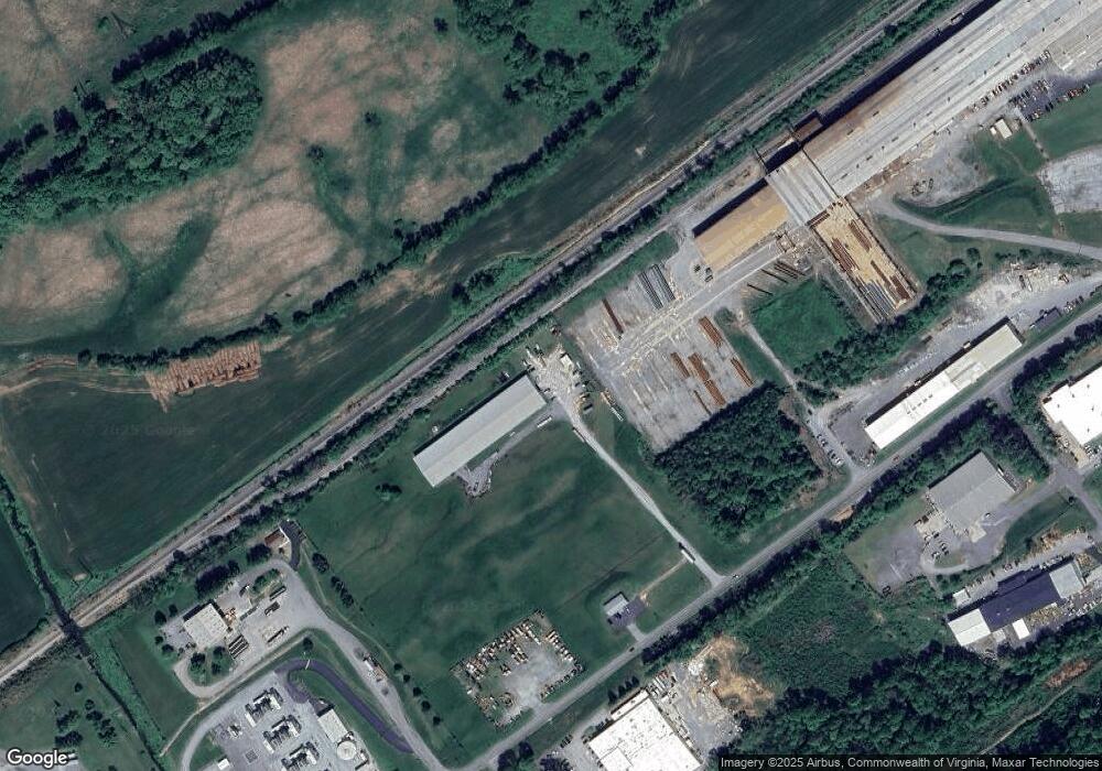
Map
Nearby Homes
- Tr.26/27 Peaceful Valley Rd
- 15216 Bordwine Rd
- TBD Acorn Ln
- TBD Acorn Ln Unit Lot 18
- TBD Acorn Ln Unit Lot 17
- 15346 Woodstone Cir
- 19577 Greenbriar Dr
- 152 Acorn Ln
- 15409 Bordwine Rd
- Tbd Harleywood Rd
- 18272 Fortunes Way
- 15046 Corona St Unit 45
- 8 Acres Campground Rd
- 14448 Rainbow Rd Unit 69
- 18346 Fortunes Way
- 18339 Fortunes Way
- Tbd Northwoods Trail
- 16106 Lee Hwy
- 18008 Destiny Ln
- 16235 Lee Hwy
- 14660 Industrial Park Rd
- 14570 Industrial Park Rd
- 15014 Industrial Park Rd
- 14781 Industrial Park Rd
- 14579 Industrial Park Rd
- 15016 Industrial Park Rd
- 15100 Industrial Park Rd
- 15020 Industrial Park Rd
- 14401 Industrial Park Rd
- 15083 Industrial Park Rd
- TBD Industrial Park Rd
- 14202 Middle Pointe Ct
- 15120 Industrial Park Rd
- 16451 Wallace Pike
- 14199 Middle Point Ct
- 14199 Middle Pointe Ct
- 14176 Wallace Pike
- 14102 Wallace Pike
- 14813 Middle Point Ct
- 14178 Middle Point Ct