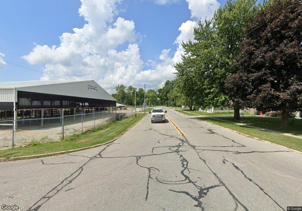
Estimated Value: $158,000 - $218,000
3
Beds
1
Bath
1,980
Sq Ft
$94/Sq Ft
Est. Value
About This Home
This home is located at 14675 W S R 10, Argos, IN 46501 and is currently estimated at $187,031, approximately $94 per square foot. 14675 W S R 10 is a home located in Marshall County with nearby schools including Argos Community Elementary School, Argos Community Junior-Senior High School, and Culver Academies.
Ownership History
Date
Name
Owned For
Owner Type
Purchase Details
Closed on
Oct 3, 2008
Sold by
Deutsche Bank National Trust Compa
Bought by
Roney Timothy and Roney Jane
Current Estimated Value
Home Financials for this Owner
Home Financials are based on the most recent Mortgage that was taken out on this home.
Original Mortgage
$58,038
Outstanding Balance
$37,800
Interest Rate
6.09%
Mortgage Type
New Conventional
Estimated Equity
$149,231
Purchase Details
Closed on
Jul 22, 2008
Sold by
Van Vactor Sheriff Jon
Bought by
Deutsche Bank National Trust
Create a Home Valuation Report for This Property
The Home Valuation Report is an in-depth analysis detailing your home's value as well as a comparison with similar homes in the area
Home Values in the Area
Average Home Value in this Area
Purchase History
| Date | Buyer | Sale Price | Title Company |
|---|---|---|---|
| Roney Timothy | $56,900 | Federated Land Title Agency | |
| Roney Timothy | -- | Federated Land Title Agency | |
| Deutsche Bank National Trust | $95,000 | Nelson & Frankenberger | |
| Deutsche Bank National Trust Co | -- | None Available |
Source: Public Records
Mortgage History
| Date | Status | Borrower | Loan Amount |
|---|---|---|---|
| Open | Roney Timothy | $58,038 |
Source: Public Records
Tax History Compared to Growth
Tax History
| Year | Tax Paid | Tax Assessment Tax Assessment Total Assessment is a certain percentage of the fair market value that is determined by local assessors to be the total taxable value of land and additions on the property. | Land | Improvement |
|---|---|---|---|---|
| 2024 | $585 | $143,400 | $34,900 | $108,500 |
| 2023 | $585 | $97,700 | $34,900 | $62,800 |
| 2022 | $656 | $101,000 | $33,600 | $67,400 |
| 2021 | $517 | $85,000 | $29,200 | $55,800 |
| 2020 | $383 | $81,900 | $28,100 | $53,800 |
| 2019 | $340 | $75,300 | $26,500 | $48,800 |
| 2018 | $269 | $66,900 | $22,700 | $44,200 |
| 2017 | $281 | $68,000 | $22,000 | $46,000 |
| 2016 | $273 | $66,400 | $21,400 | $45,000 |
| 2014 | $244 | $65,100 | $21,200 | $43,900 |
Source: Public Records
Map
Nearby Homes
- 16930 16c Rd
- 19119 Queen Rd
- 15871 18th Rd
- TBD Redwood Rd
- 686 E Shore Dr
- 14990 Redwood Rd
- 14036 20a Rd
- 826 College Ave
- 603 Pearl St
- 404 Gold Leaf Ln
- 12 Venetian Village Rd
- 17981 14b Rd
- 944 S Shore Dr
- 215 E Hawkins Ct
- 303 Lighthouse Ln Unit 65
- 610 Obispo St
- 17052 Indiana 110
- 214 Tampa St Unit 8
- 316 S Slate St
- 212 Tampa St Unit 7
- 14675 State Road 10
- 14599 State Road 10
- 14701 Sr 10
- 14701 S R 10
- 14701 State Road 10
- 14750 State Road 10
- 14787 State Road 10
- 14515 State Road 10
- 14393 State Road 10
- 14393 State Road 10
- 14891 Indiana 10
- 14891 State Road 10
- 17520 Pine Rd
- 14316 State Road 10
- 17199 Oak Rd
- 14657 17c Rd
- 17659 Pine Rd
- 17221 Oak Rd
- 17068 Oak Rd
- 13988 State Road 10
