1468 Bombing Range Rd Gilbert, SC 29054
Estimated Value: $514,722 - $866,000
About This Home
This home is located at 1468 Bombing Range Rd, Gilbert, SC 29054 and is currently estimated at $651,681, approximately $518 per square foot. 1468 Bombing Range Rd is a home located in Lexington County with nearby schools including Centerville Elementary School, Gilbert Middle School, and Gilbert High School.
Ownership History
We collect this data history from publicly available records. To have your information removed, we recommend requesting removal directly through your county’s website.
Purchase Details
Home Financials for this Owner
Home Financials are based on the most recent Mortgage that was taken out on this home.Purchase Details
Purchase Details
Home Values in the Area
Average Home Value in this Area
Purchase History
We collect this data history from publicly available records. To have your information removed, we recommend requesting removal directly through your county’s website.
| Date | Buyer | Sale Price | Title Company |
|---|---|---|---|
| $380,000 | None Available | ||
| -- | -- | ||
| -- | -- |
Mortgage History
We collect this data history from publicly available records. To have your information removed, we recommend requesting removal directly through your county’s website.
| Date | Status | Borrower | Loan Amount |
|---|---|---|---|
| Open | $301,600 |
Tax History
We collect this data history from publicly available records. To have your information removed, we recommend requesting removal directly through your county’s website.
| Year | Tax Paid | Tax Assessment Tax Assessment Total Assessment is a certain percentage of the fair market value that is determined by local assessors to be the total taxable value of land and additions on the property. | Land | Improvement |
|---|---|---|---|---|
| 2024 | $1,424 | $11,194 | $7,968 | $3,226 |
| 2023 | $1,671 | $11,194 | $7,968 | $3,226 |
| 2022 | $1,666 | $11,194 | $7,968 | $3,226 |
| 2020 | $1,709 | $11,194 | $7,968 | $3,226 |
| 2019 | $1,928 | $12,400 | $6,640 | $5,760 |
| 2018 | $1,892 | $12,400 | $6,640 | $5,760 |
| 2017 | $1,835 | $12,400 | $6,640 | $5,760 |
| 2016 | $1,819 | $12,400 | $6,640 | $5,760 |
| 2014 | $1,602 | $11,423 | $8,300 | $3,123 |
| 2013 | -- | $11,420 | $8,300 | $3,120 |
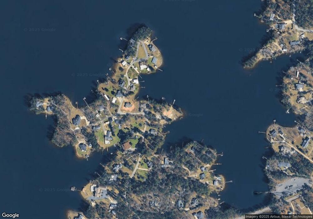
Map
- 1464 Bombing Range Rd
- 1223 Shull Island Rd
- 2337 Shulls Fork Rd
- 1148 Shull Island Rd
- 1305 Rock Island Rd
- 180 Lillian St
- 116 Aloha Ct
- 335 Calypso Rd
- 417 Dot Ct
- 841 Foxden Rd
- 0 Misty Cir Unit 566318
- 870 Shore Rd
- 1324 Sundown Ct
- 1628 Deep Cove Ln
- 421 & 0 Shore Rd
- 148 Pintail Lake Dr
- 157 Blue Wing Dr
- 252 Waters Edge Dr
- 449 Lake Estate Dr
- 274 Pintail Lake Dr
- 1459 & 1457 Bombing Range Rd
- 1453 Bombing Range Rd
- 1456 Bombing Range Rd
- 1613 Bombing Range Ct
- 1450 Bombing Range Rd
- 1516 Bombing Range Rd
- 1502 Bombing Range Rd
- 1445 Bombing Range Rd
- 1621 Bombing Range Ct
- 1414 Bombing Range Rd
- 1610 Bombing Range Ct
- 1525 Bombing Range Rd
- 1616 Bombing Range Ct
- 1676 Barracks Dr
- 1524 Bombing Range Rd
- 1533 Bombing Range Rd
- 1433 Bombing Range Rd
- 1627 Bombing Range Ct
- 1672 Barracks Dr
- 1624 Bombing Range Ct
Ask me questions while you tour the home.