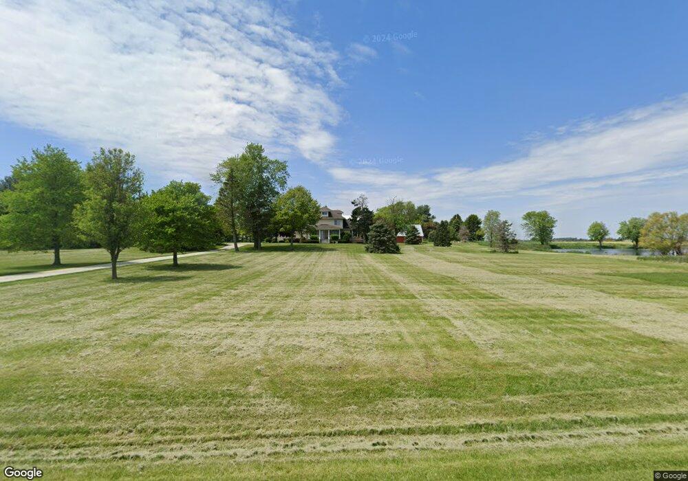
1468 S 14000w Rd Buckingham, IL 60917
Estimated Value: $267,000 - $598,000
4
Beds
3
Baths
2,800
Sq Ft
$141/Sq Ft
Est. Value
About This Home
This home is located at 1468 S 14000w Rd, Buckingham, IL 60917 and is currently estimated at $395,436, approximately $141 per square foot. 1468 S 14000w Rd is a home located in Kankakee County with nearby schools including Herscher High School.
Ownership History
Date
Name
Owned For
Owner Type
Purchase Details
Closed on
Apr 30, 2010
Sold by
Lavoie Kurt E and Lavoie Mary E
Bought by
Rogers Daryl W and Rogers Jennifer L
Current Estimated Value
Home Financials for this Owner
Home Financials are based on the most recent Mortgage that was taken out on this home.
Original Mortgage
$285,570
Interest Rate
4.22%
Mortgage Type
New Conventional
Create a Home Valuation Report for This Property
The Home Valuation Report is an in-depth analysis detailing your home's value as well as a comparison with similar homes in the area
Home Values in the Area
Average Home Value in this Area
Purchase History
| Date | Buyer | Sale Price | Title Company |
|---|---|---|---|
| Rogers Daryl W | $367,500 | Standard Title |
Source: Public Records
Mortgage History
| Date | Status | Borrower | Loan Amount |
|---|---|---|---|
| Previous Owner | Rogers Daryl W | $285,570 |
Source: Public Records
Tax History Compared to Growth
Tax History
| Year | Tax Paid | Tax Assessment Tax Assessment Total Assessment is a certain percentage of the fair market value that is determined by local assessors to be the total taxable value of land and additions on the property. | Land | Improvement |
|---|---|---|---|---|
| 2024 | $5,689 | $85,133 | $7,376 | $77,757 |
| 2023 | $5,352 | $78,929 | $6,711 | $72,218 |
| 2022 | $4,980 | $73,928 | $6,146 | $67,782 |
| 2021 | $4,980 | $70,467 | $5,705 | $64,762 |
| 2020 | $4,862 | $68,169 | $5,356 | $62,813 |
| 2019 | $4,717 | $65,961 | $5,031 | $60,930 |
| 2018 | $4,662 | $65,075 | $4,809 | $60,266 |
| 2017 | $4,548 | $63,401 | $4,557 | $58,844 |
| 2016 | $4,380 | $61,136 | $4,281 | $56,855 |
| 2015 | $4,020 | $58,721 | $4,008 | $54,713 |
| 2014 | $3,997 | $58,643 | $3,930 | $54,713 |
| 2013 | -- | $58,584 | $3,871 | $54,713 |
Source: Public Records
Map
Nearby Homes
- 12710 W 1000n Rd
- 16000 Road W
- 4679 S 13000w Rd
- 301 N Main St
- 464 E Pilot Dr
- 35 E Tobey Dr
- 121 Pine St
- 0 S Maple St Unit 25078643
- 431/441 E Myrtle Ave
- 343 E Walnut Ct
- 473 E Kay St
- 476 E Kay St
- 597 Jeanette St
- 587 Jeanette St
- 577 Jeanette St
- 688 Jeanette St
- 567 Jeanette St
- 678 Jeanette St
- 547 Jeanette St
- 537 Jeanette St